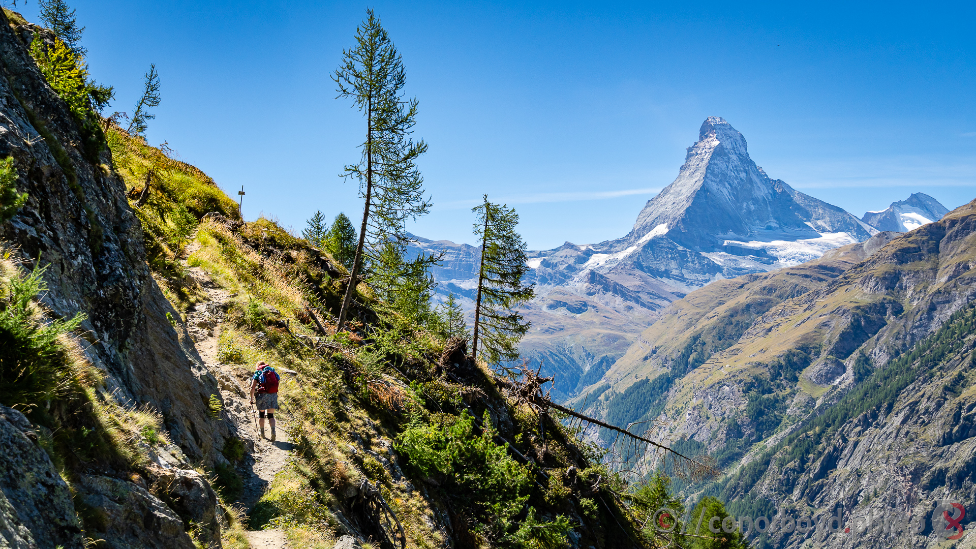
The story of the Haute Route began in the mid-19th century during the Golden Age of Alpinism. In 1861 members of the British Alpine Club and local guides mapped out a high-altitude summer walking route connecting Chamonix, France, and Zermatt, Switzerland. They gave this traverse the simple title of “High Level Route,” a name later translated into French as the Haute Route. It wasn’t until 1911 that the line was successfully skied in winter by a French doctor and three local guides, establishing what remains one of the world’s most famous multi-day ski tours.
During the 20th century, two distinct variants evolved further. The original winter ski route remains a high-altitude line directly across glaciated terrain, generally above 3,000 meters for much of the journey and with accommodation mostly in alpine huts.
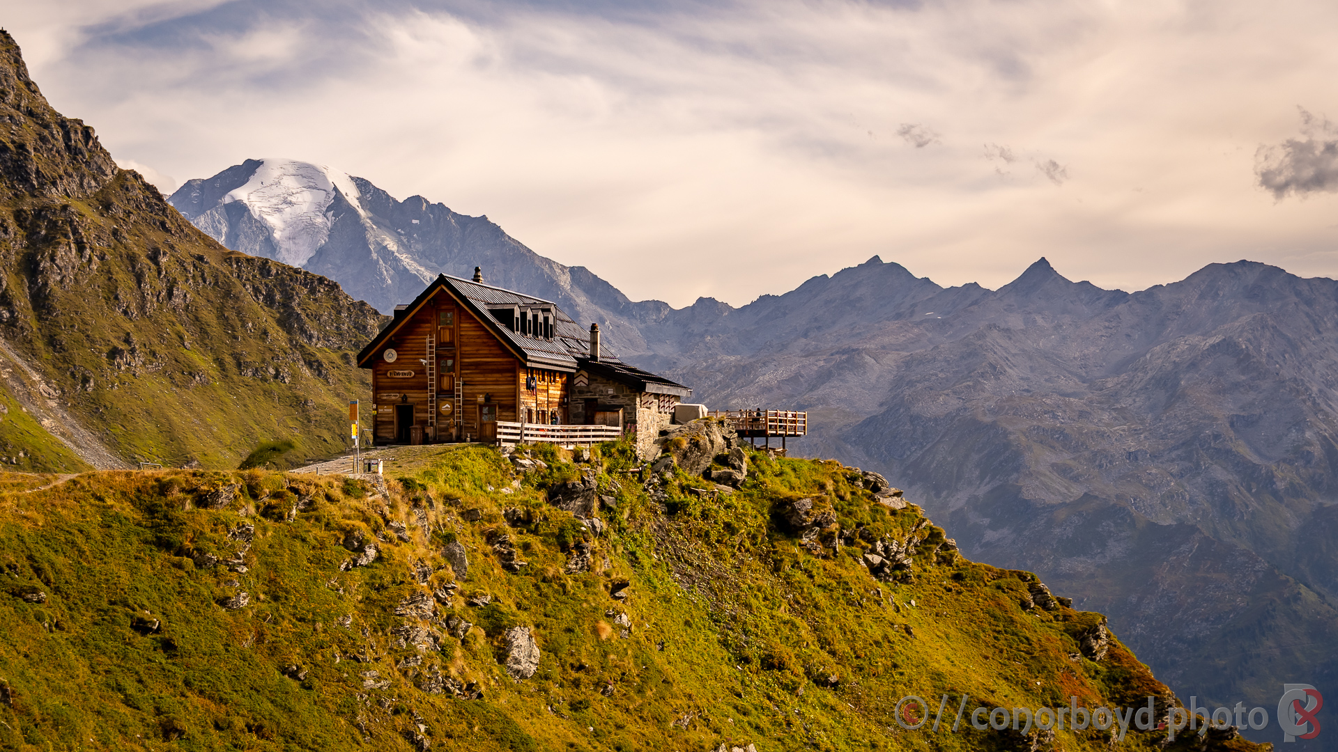
As the extensive mountain hut network developed, alpine guides established the modern “Walker’s Haute Route” for summer hikes, weaving through lower mountain passes, deliberately bypassing glaciers so experienced hikers can complete the iconic journey on foot without technical climbing gear.
Our traverse of the Haute Route took us 188km from the outskirts of Chamonix to Zermatt with about 13,000m of ascent & descent over thirteen days with five nights in Swiss Alpine Club (SAC) huts and the rest in auberge & small hotels in the valleys we passed through.
All the huts provide half-board fare with generally hearty meals for dinner and breakfast (along with wine, beer, etc as well) and usually the option of requesting a lunch to be made up for the following day. The huts also provide duvets & pillows; you just need to take a sheet bag/liner and a pillow case. It’s therefore possible to travel relatively lightly with just your clothes, water bottle, wet weather gear (you’re in the mountains and a lot of the days are over passes around the 2800-2900m level), camera, suncream, etc. All the huts (I think) and hotels accepted card payments, all the huts provided charging facilities, most of the huts had hot showers (usually about CHF5). It’s not always possible for huts in particular to be able to fully cater for dietary requirements such as gluten or dairy free. Some of the huts may provide a discount for NZAC members.
Unless you engage a trekking company to manage the whole trip for you, there is no central booking agency for managing accommodation; it’s simply a question of contacting each hut or hotel individually and booking directly, some requiring a deposit upfront. Realistically you’ll need to be making accommodation arrangements 6-9 months ahead. Another bit of logistical awkwardness for us was what to do with bags/gear that we weren’t taking on the hike with us; rather than having to make our way back to Chamonix to pick up stored bags, we engaged a Swiss taxi driver to transfer our bags to Zermatt for us (approx CHF300) and they were waiting for us at our hotel in Zermatt when we arrived.
For navigation I used the free SwissTopo app on Android. I put together a GPX file for each day’s trails which could be displayed on the app, and the app supports caching of map tiles for offline usage. The app has a really nice elevation chart feature which you can use to show remaining distance/elevation/descent to a particular point, or the end of the day.
Day 0 | Chamonix Les Praz → Montroc | 10.8km ↑648m ↓360m
Our group of six kiwis & two poms had based ourselves at Montroc prior to starting the Haute Route. Some of us were at least somewhat keen to have started the hike in Chamonix, so we did a pre-day from the outskirts of Chamonix via Chalet de la Floria for coffee & croissant and then up-valley via Argentiere to our Montroc apartment.
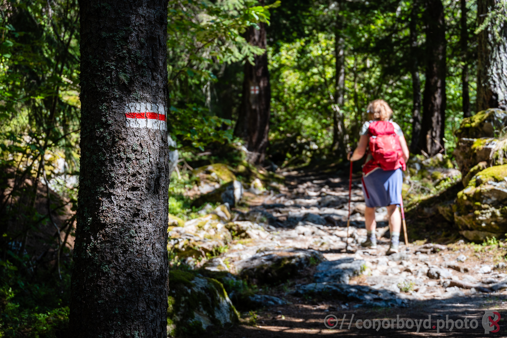
Day 1 | Montroc → Trient | 15.91km ↑ 1022m ↓1076m
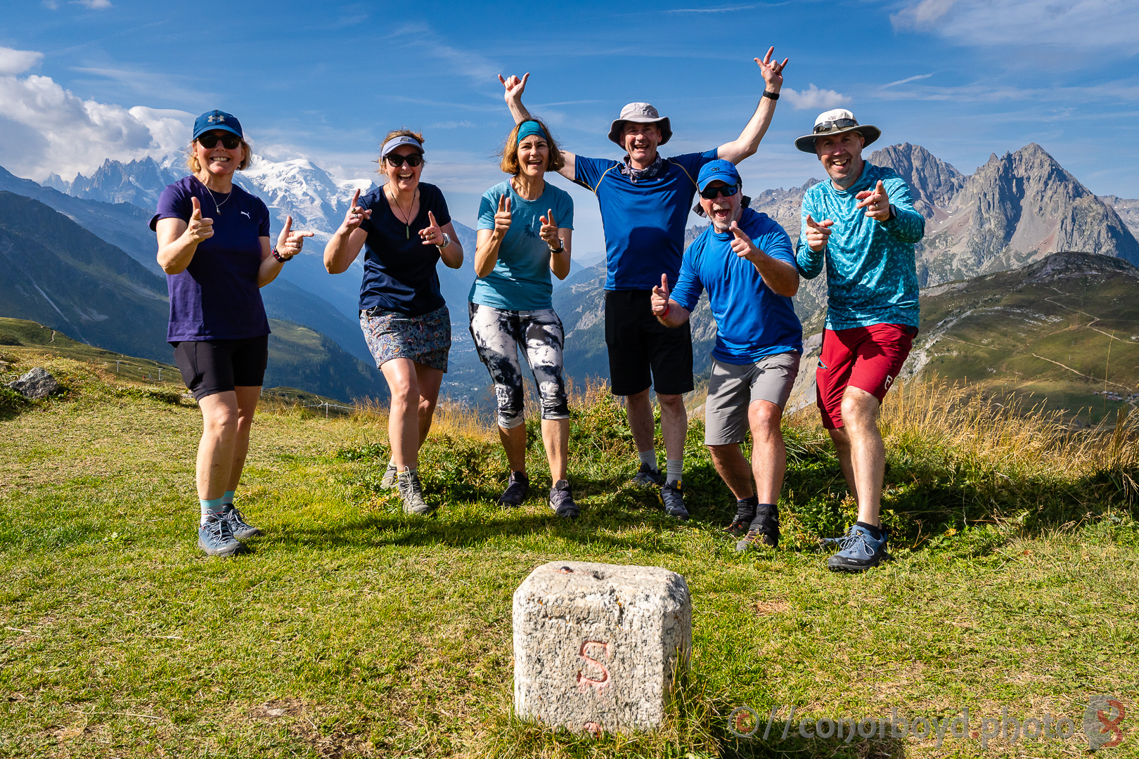
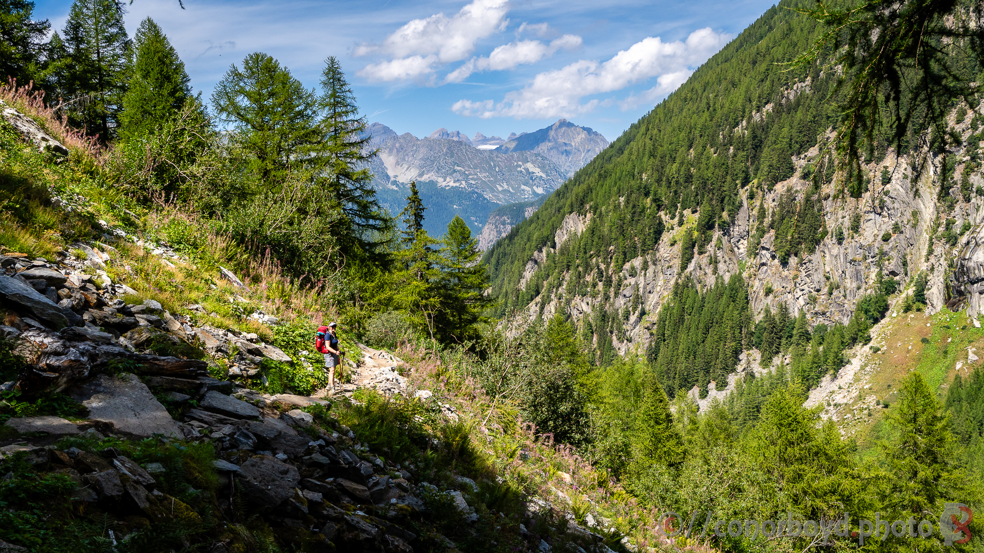
With our non-hiking gear (to be transported to Zermatt) already picked up the previous night, we got an early start up valley past the road end at Le Tour and steadily upwards towards the Swiss border at Col de Balme (2190m). The first couple of days of the Haute Route share trails with the Tour du Mont Blanc; there have been a significant number of people hiking the TMB this year (I’ve heard in the region of 80,000!), so there was a steady stream of hikers arriving from the other side of the col.
Our start on the Haute Route also coincided with the Ultra Tour du Mont Blanc race week, with various races of different lengths, difficulty and location over the week. What we didn’t anticipate was, after getting well along our chosen single track path from Col de Balme towards Les Grands, that we would “run into” approx 1400 runners heading the other direction on a 40km race from Martigny. We took some time out off track to enjoy a leisurely packed lunch, but it was still a challenge for a good portion of the rest of the afternoon making progress against the tide of runners (some of which at the tail end really didn’t look like they were enjoying themselves).
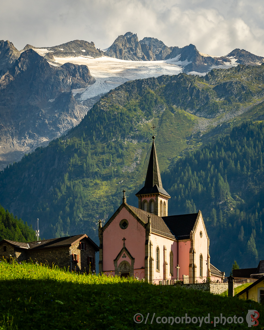
Our destination for the night was the Auberge du Mont Blanc in Trient, with a lovely garden bar and nice views of the Église Rose next door.
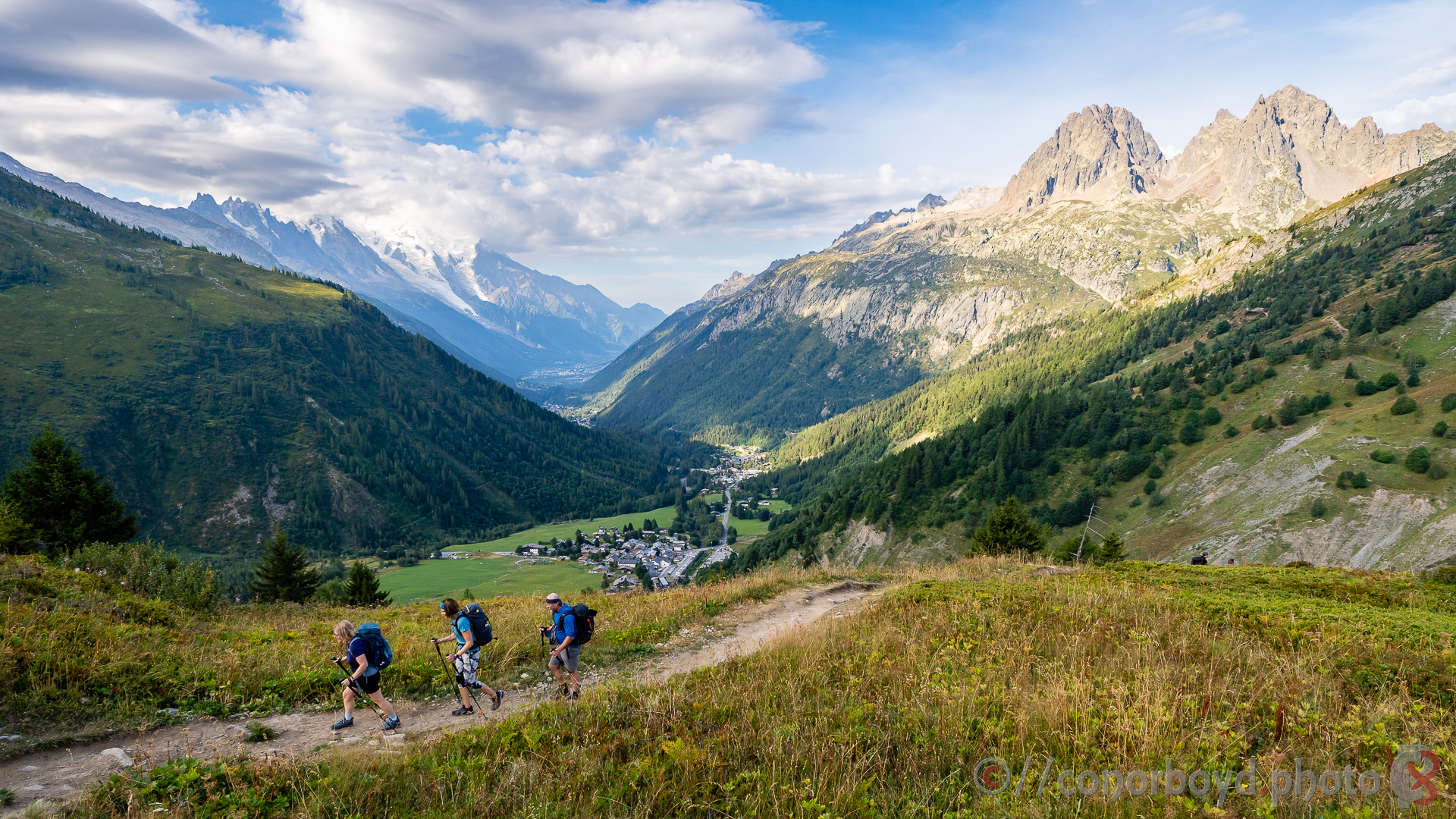
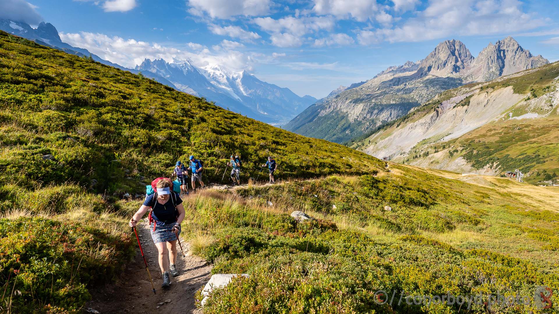
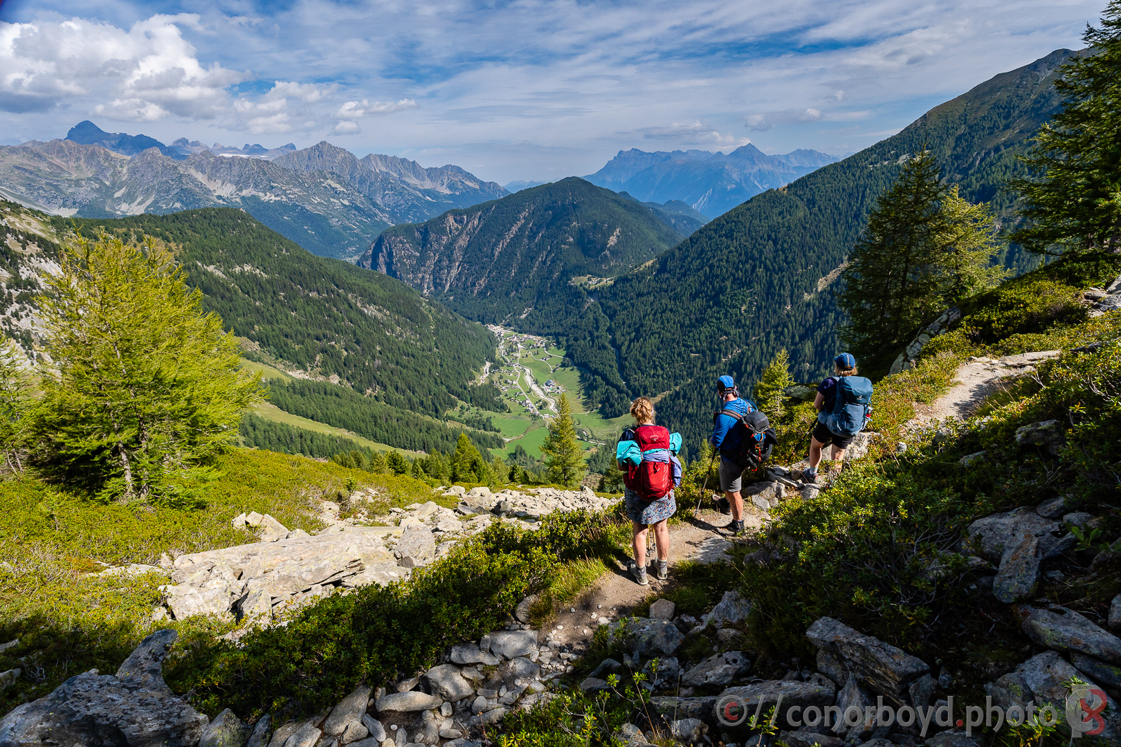
Day 2 | Trient → Champex-Lac | 15.92km ↑ 1011m ↓ 832m
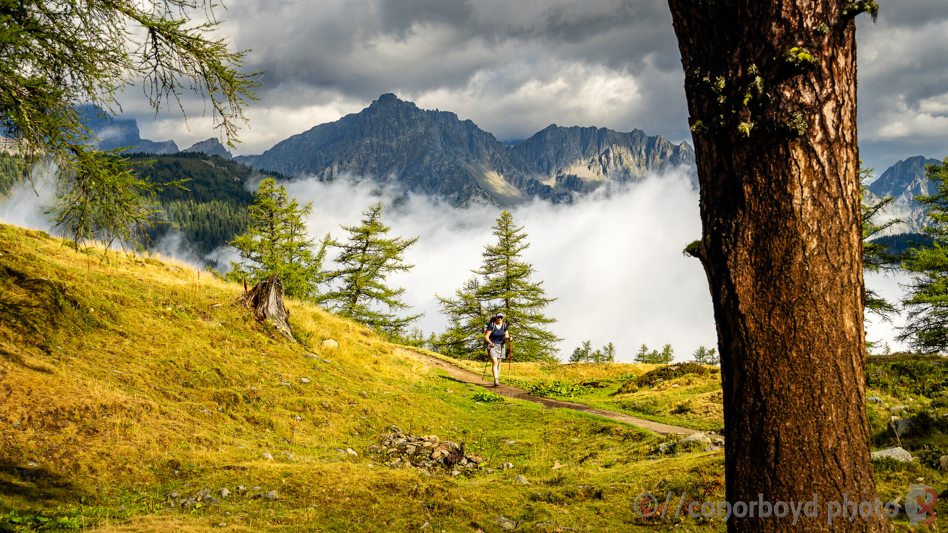
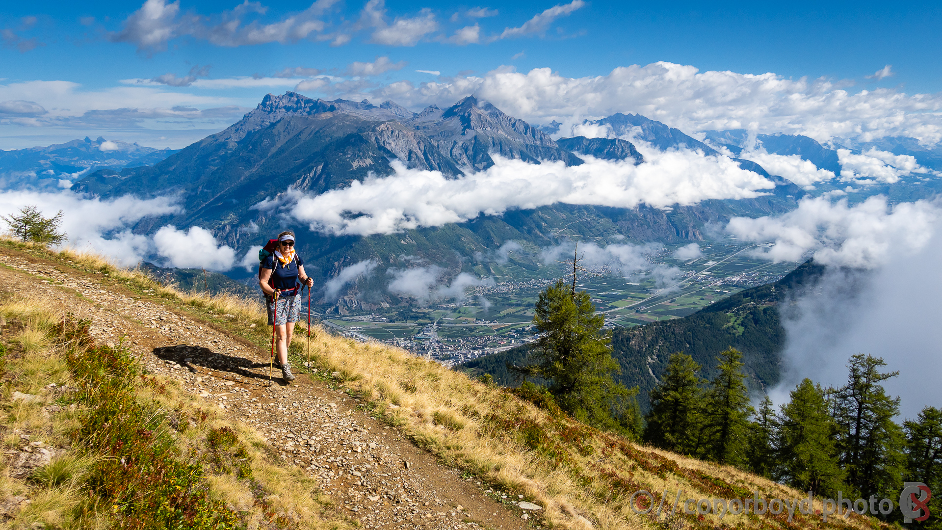
Morning dawned a little drizzly. Some of the party still had energy and were keen to head up and over the more technical Fenêtre d’Arpette, while the rest of us settled for the Bovine Route. By the time we got to the alp at La Giète, things were drying out, and the cloud steadily cleared. Great views down to the Rhone valley and Martigny, and we stopped for a coffee and pastry at Alpage de Bovine (cash-only).
As we headed down, we again started running into a steady stream of weary-looking TMB-ers.
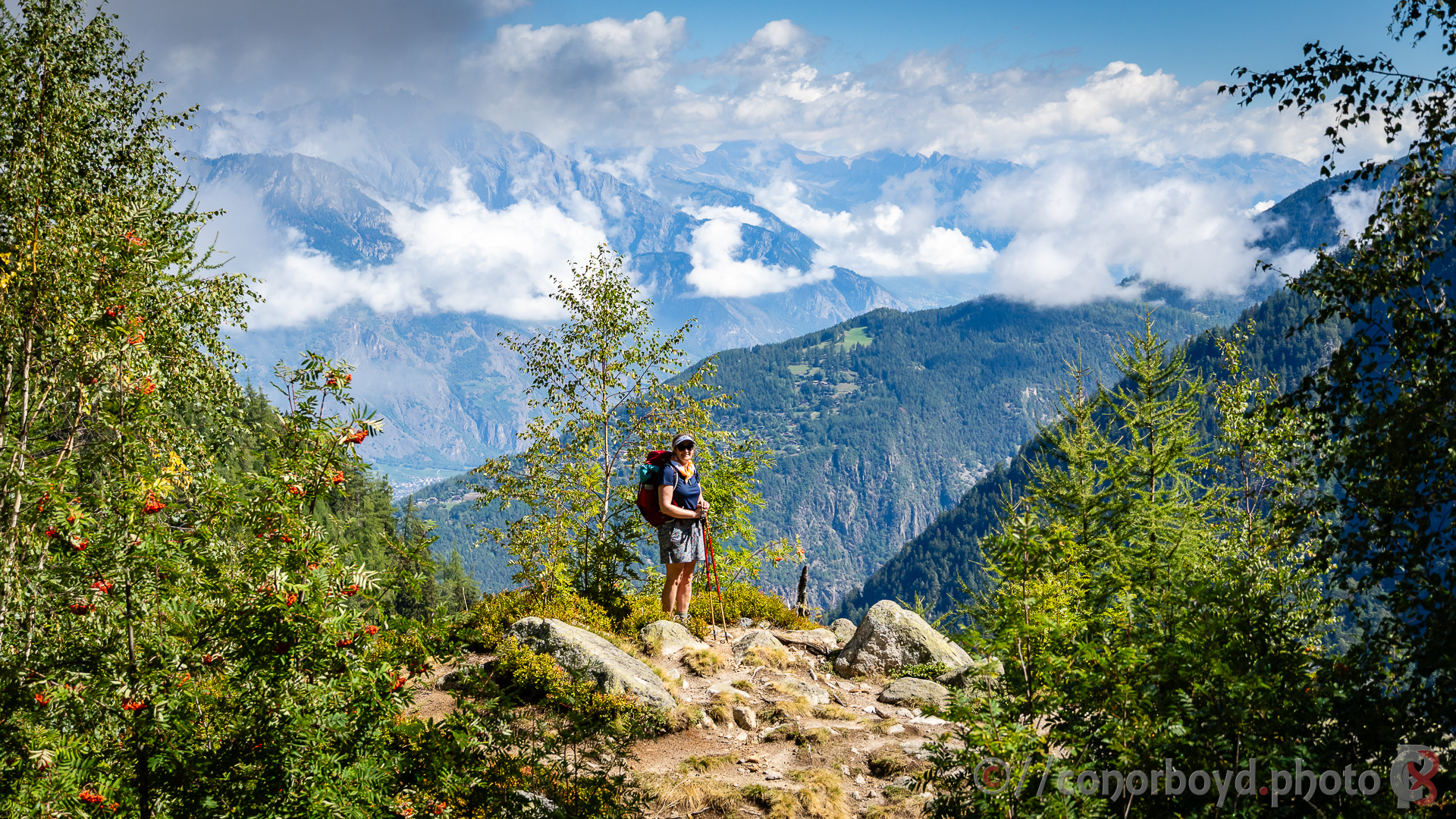
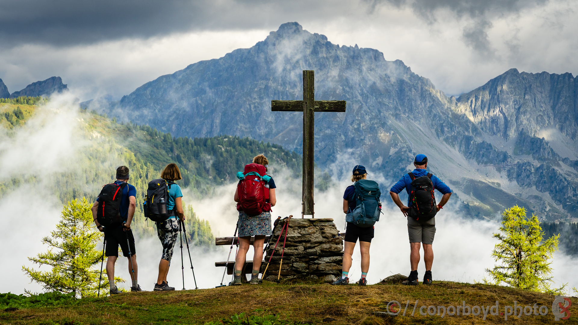
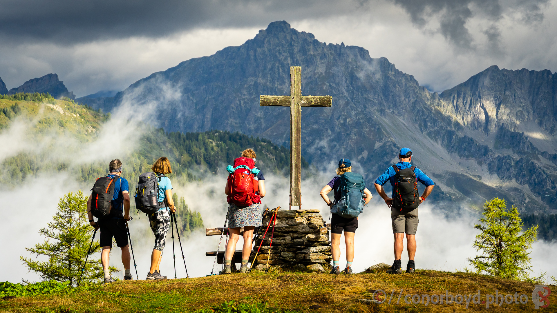
Day 3a | Champex-Lac → Le Châble | 14.85km ↑ 223m ↓ 861m
Relatively leisurely first half of the day mostly downhill from Champex-Lac to Sembrancher and then gently up to Le Châble where we grabbed lunch at the supermarket. Easy hillside tracks and farm roads, sleepy hillside hamlets.
The total track distance that we had chosen for today would involve about 26km and 1800m of ascent, so we decided to treat ourselves to the gondola from Le Châble up to Verbier, which saved us 8km & 1200m!
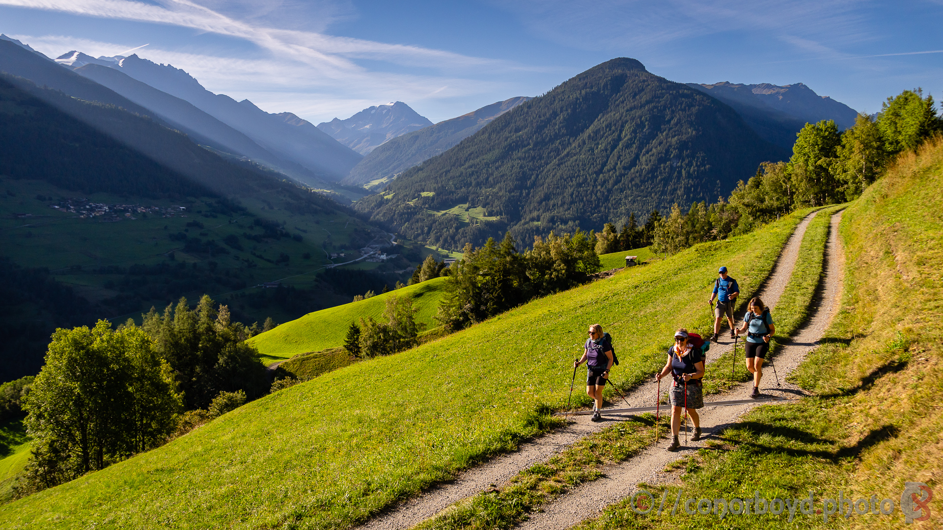
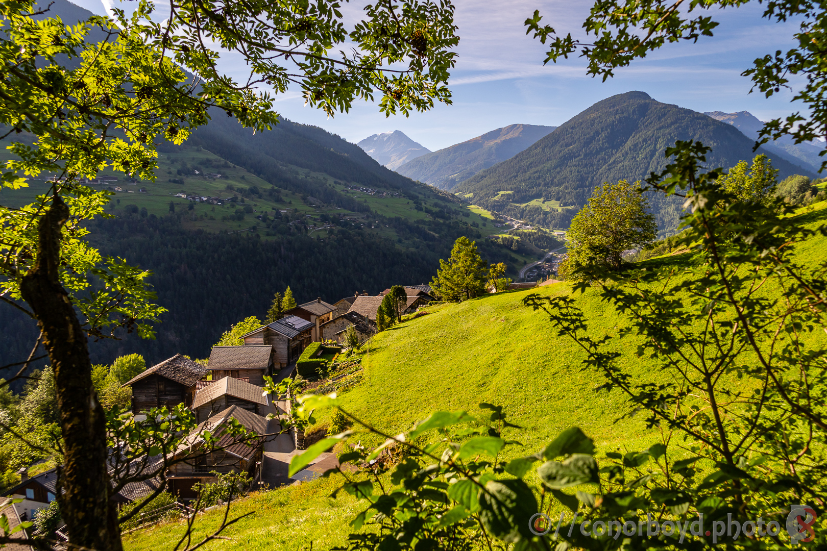
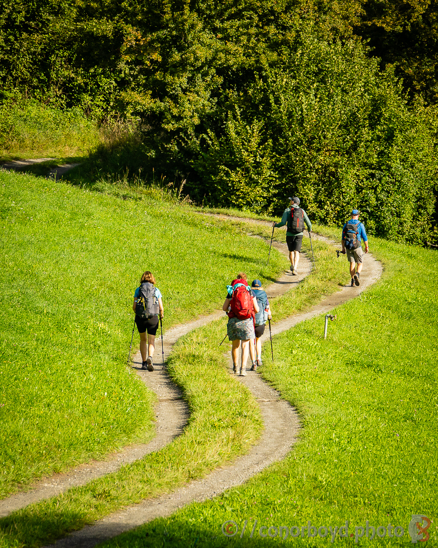
Day 3b | Verbier → Cabane de Mont Fort | 3.92km ↑ 255m
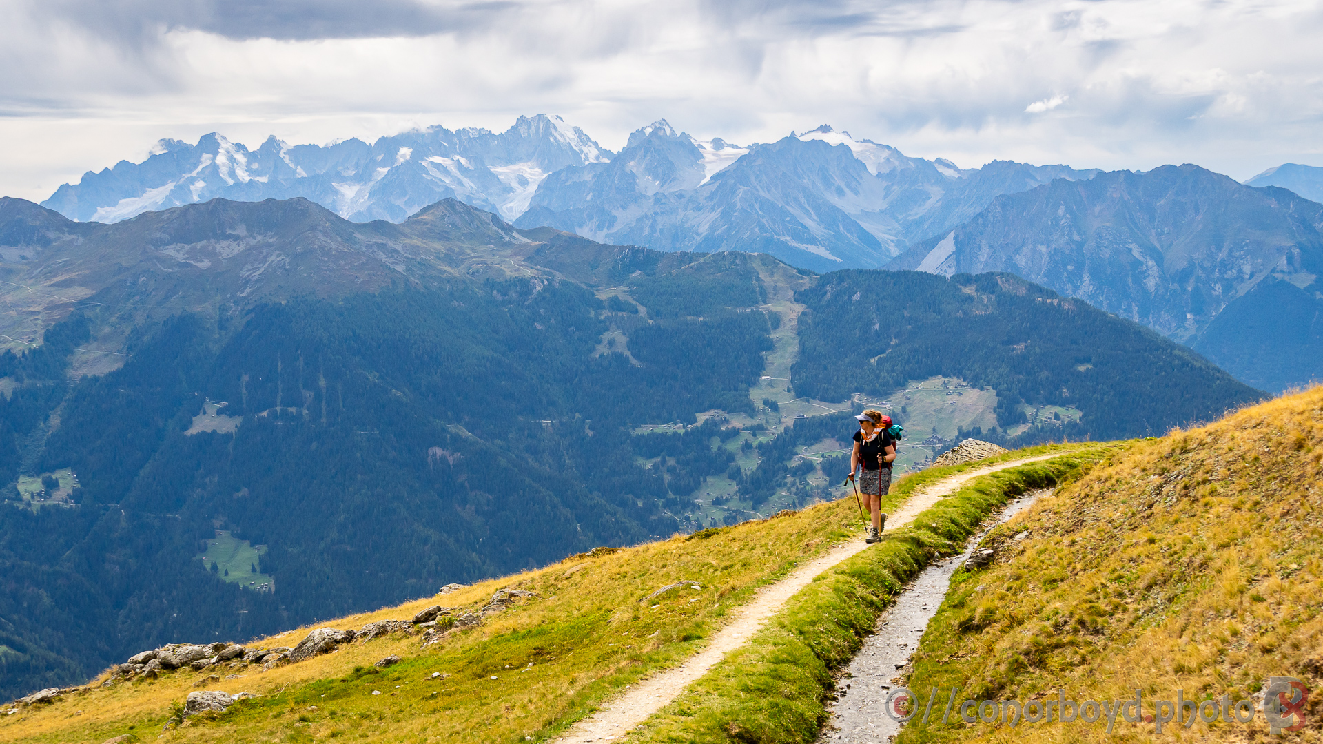
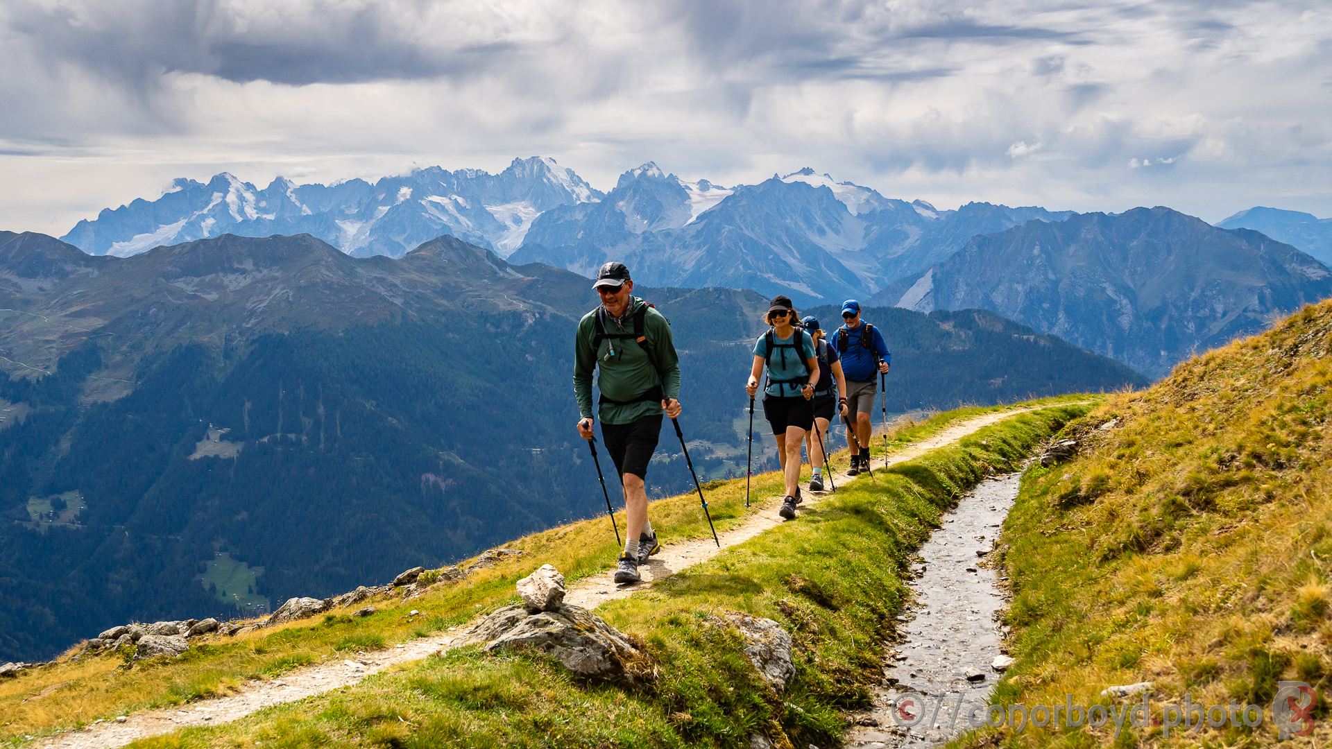
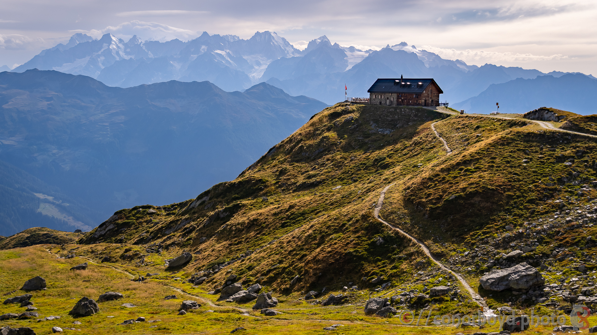
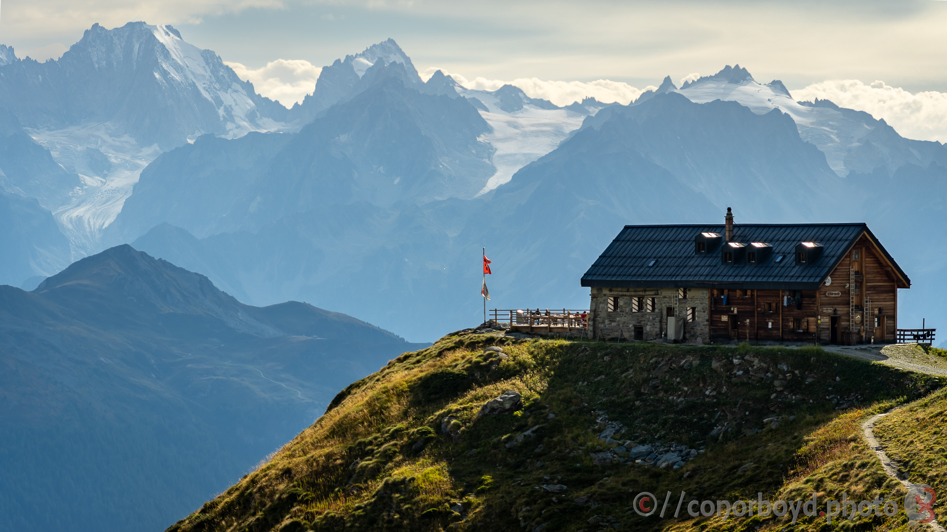
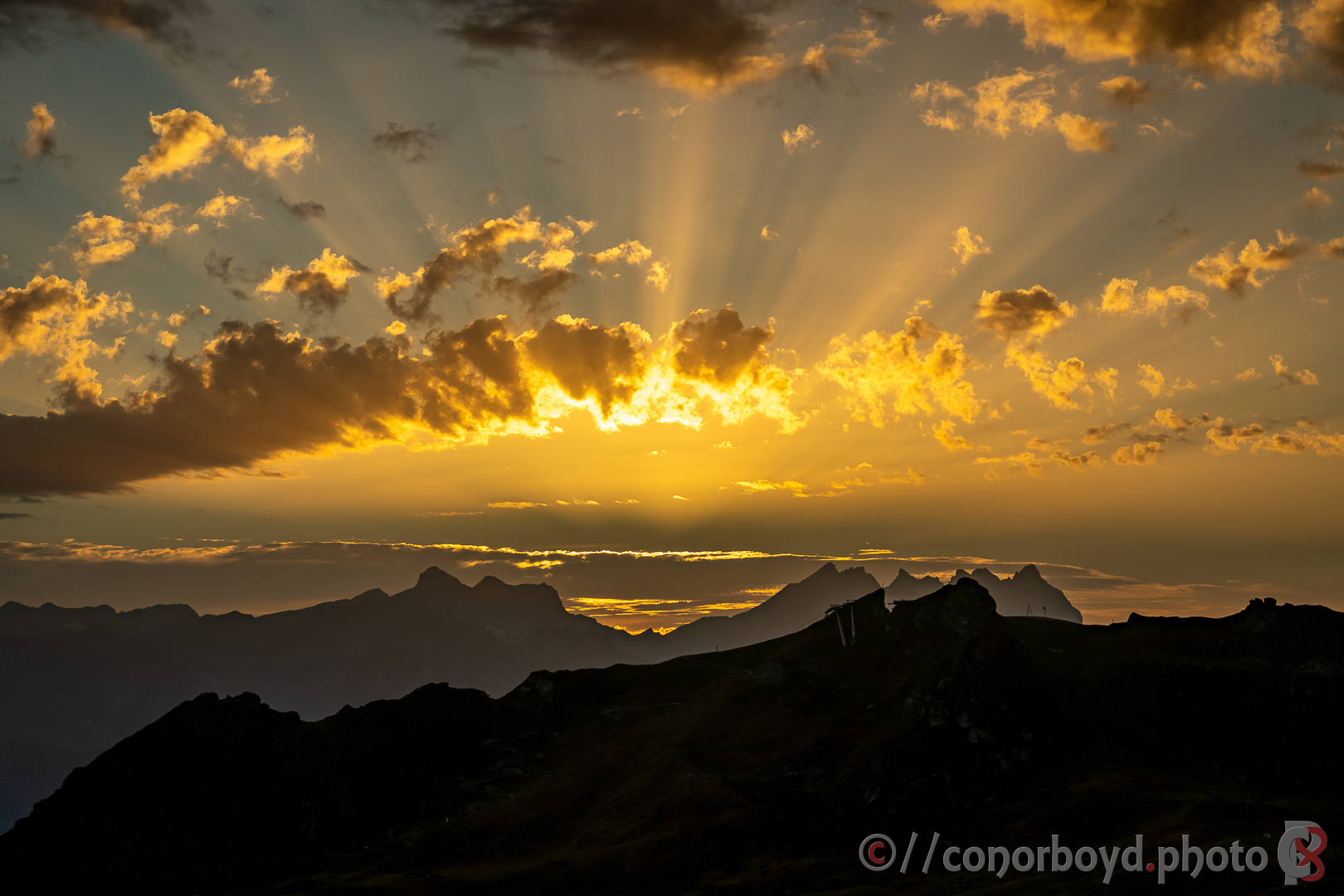
After checking Verbier out (too fancy for me) we headed off around the mountainside towards our first SAC hut, Cabane de Mont Fort (CHF130pp half-board). Most of the mountainside here is Verbier’s ski area in the winter, so there is quite a collection of gondola & chair lift infrastructure around. The cabane is probably the best sunset location on our Haute Route, although the views back towards the Mont Blanc massif were pretty hazy. Very relaxing spot for a panaché watching the sun go down.
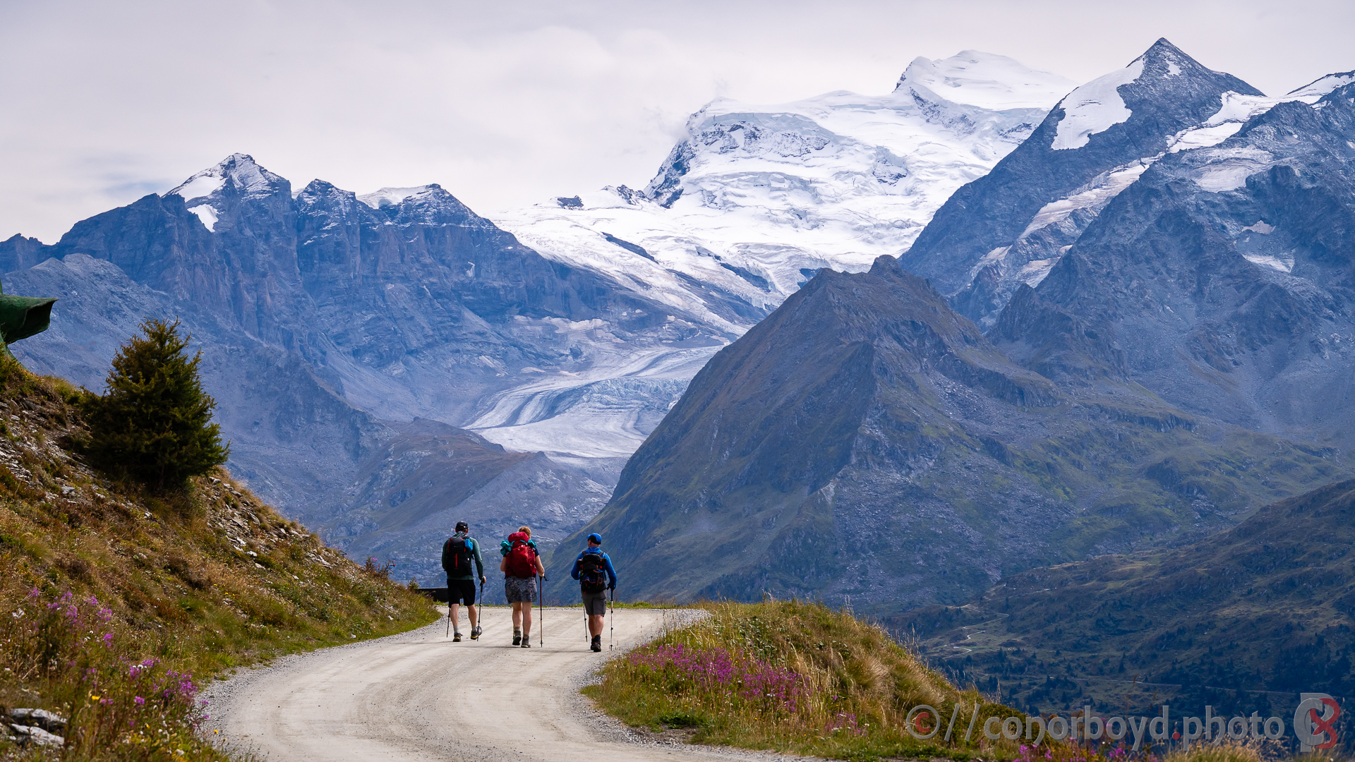
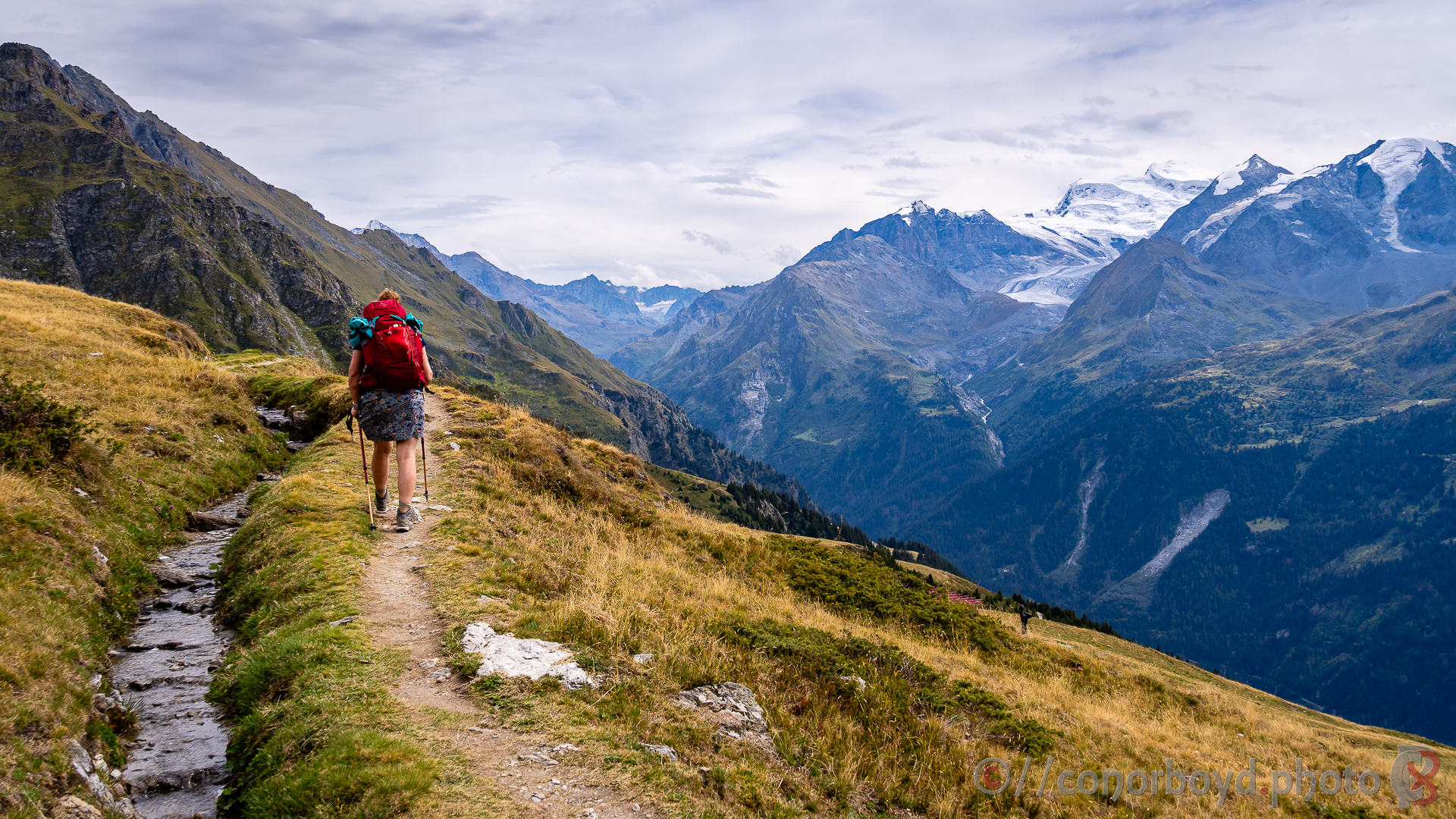
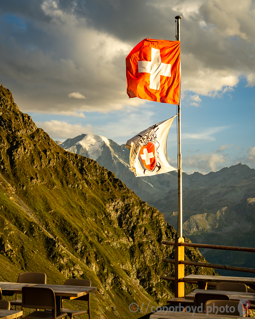
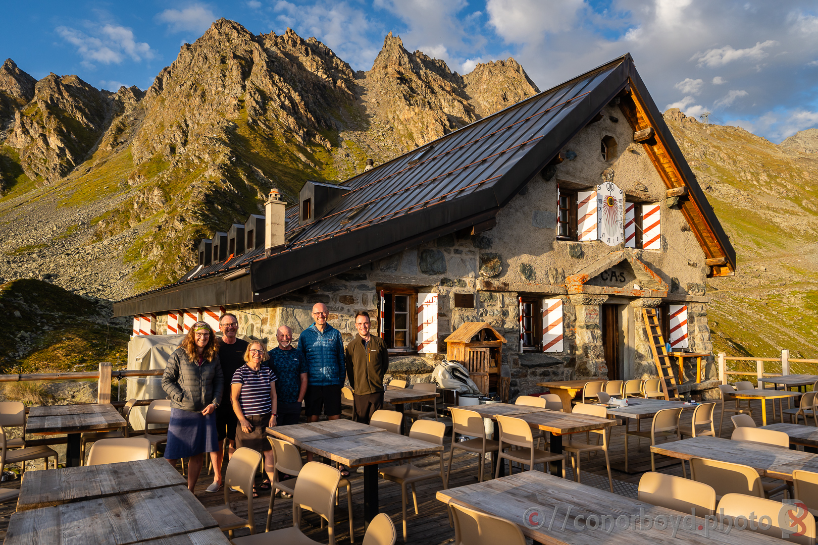
Day 4 | Cabane de Mont Fort → Cabane de Prafleuri | 14.11km ↑ 1273m ↓ 1083m
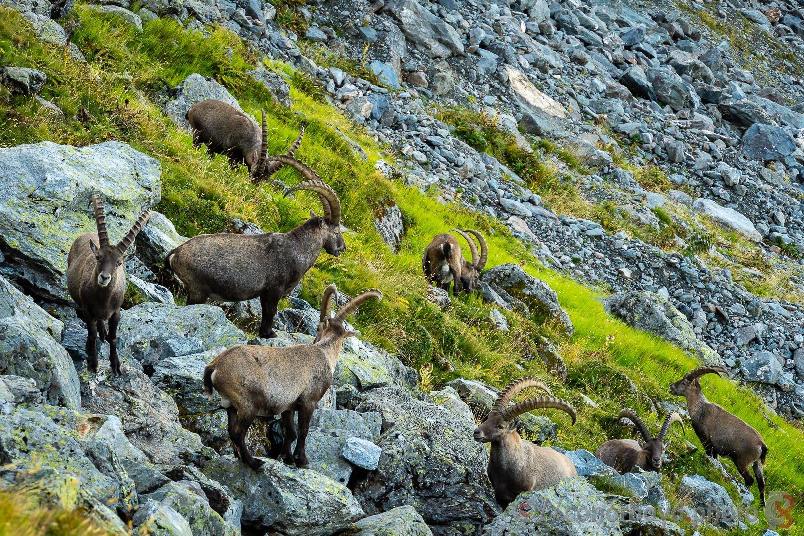
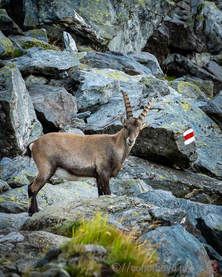
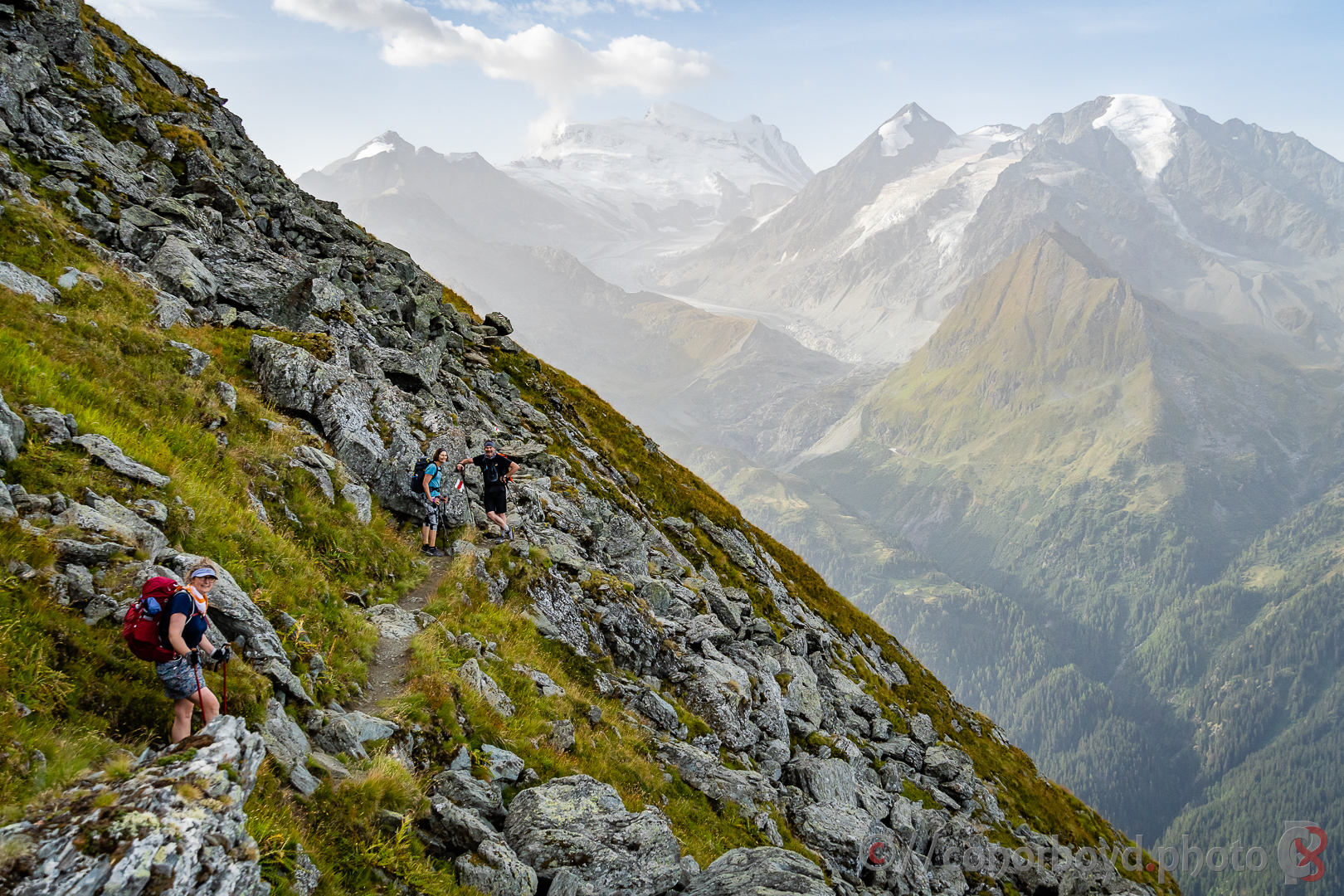
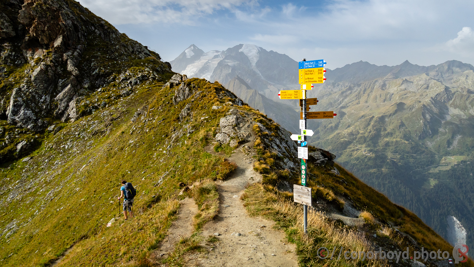
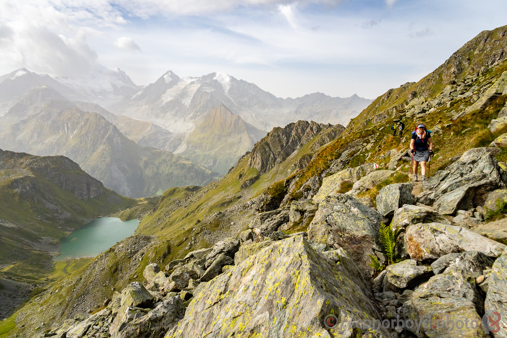
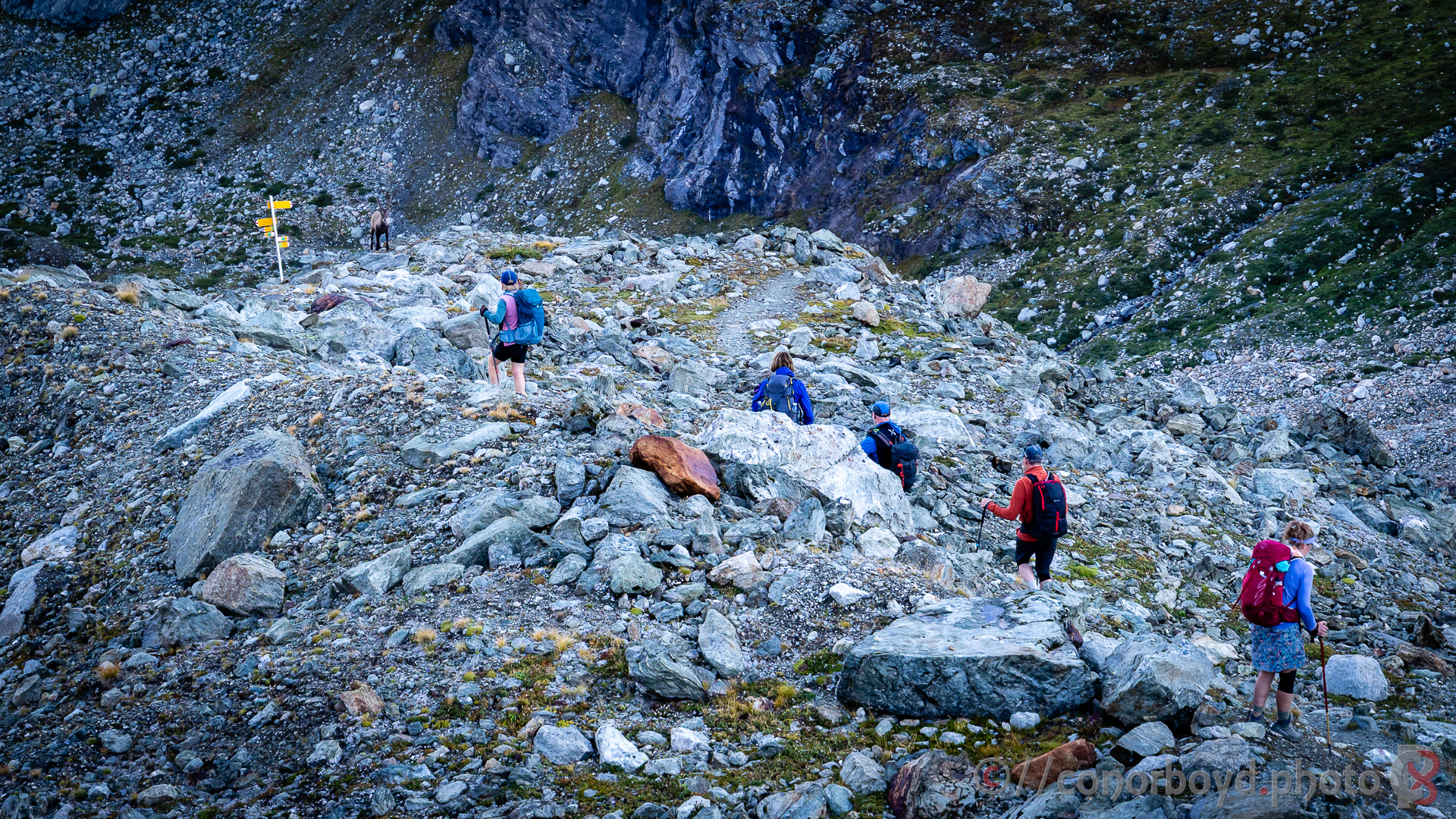
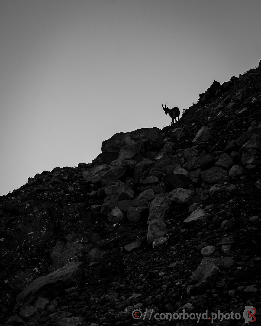
Our chosen route today involved first traversing the steep hillside of the Sentier de Chamois towards Col Termin. I found it pretty exposed in places, but the herd of ibex we encountered definitely weren’t bothered. Very hazy views across towards the Grand Combin (4309m).
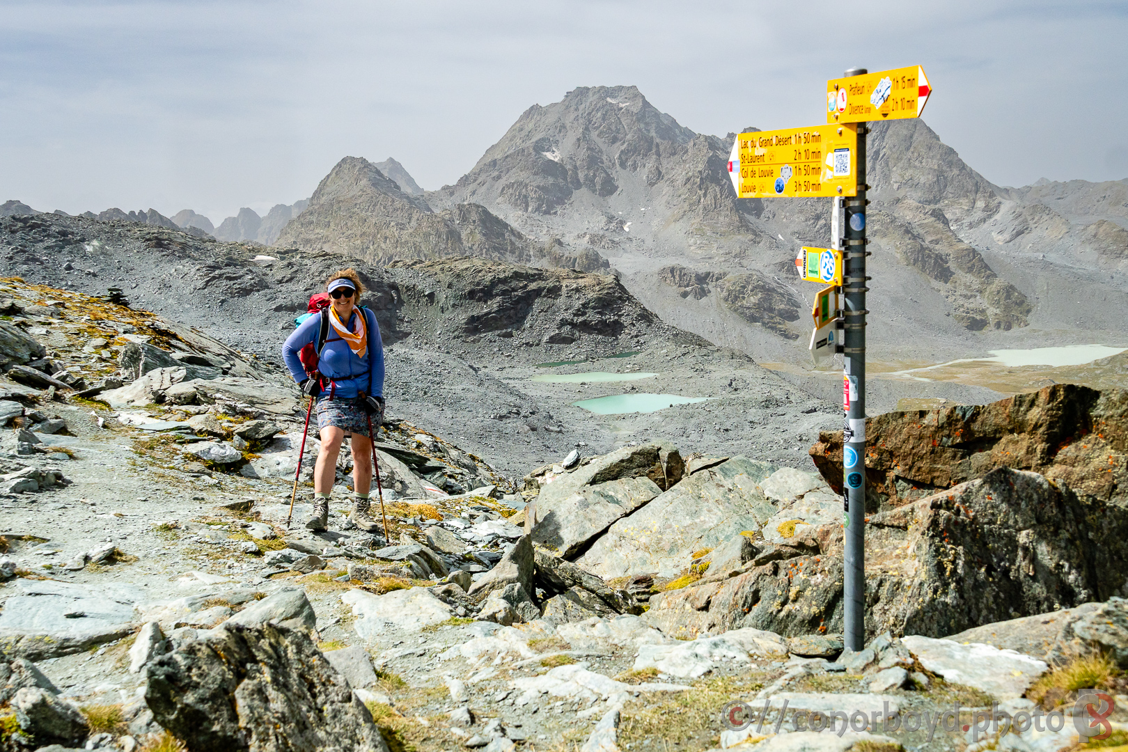
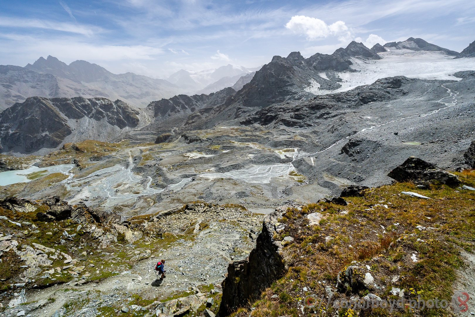
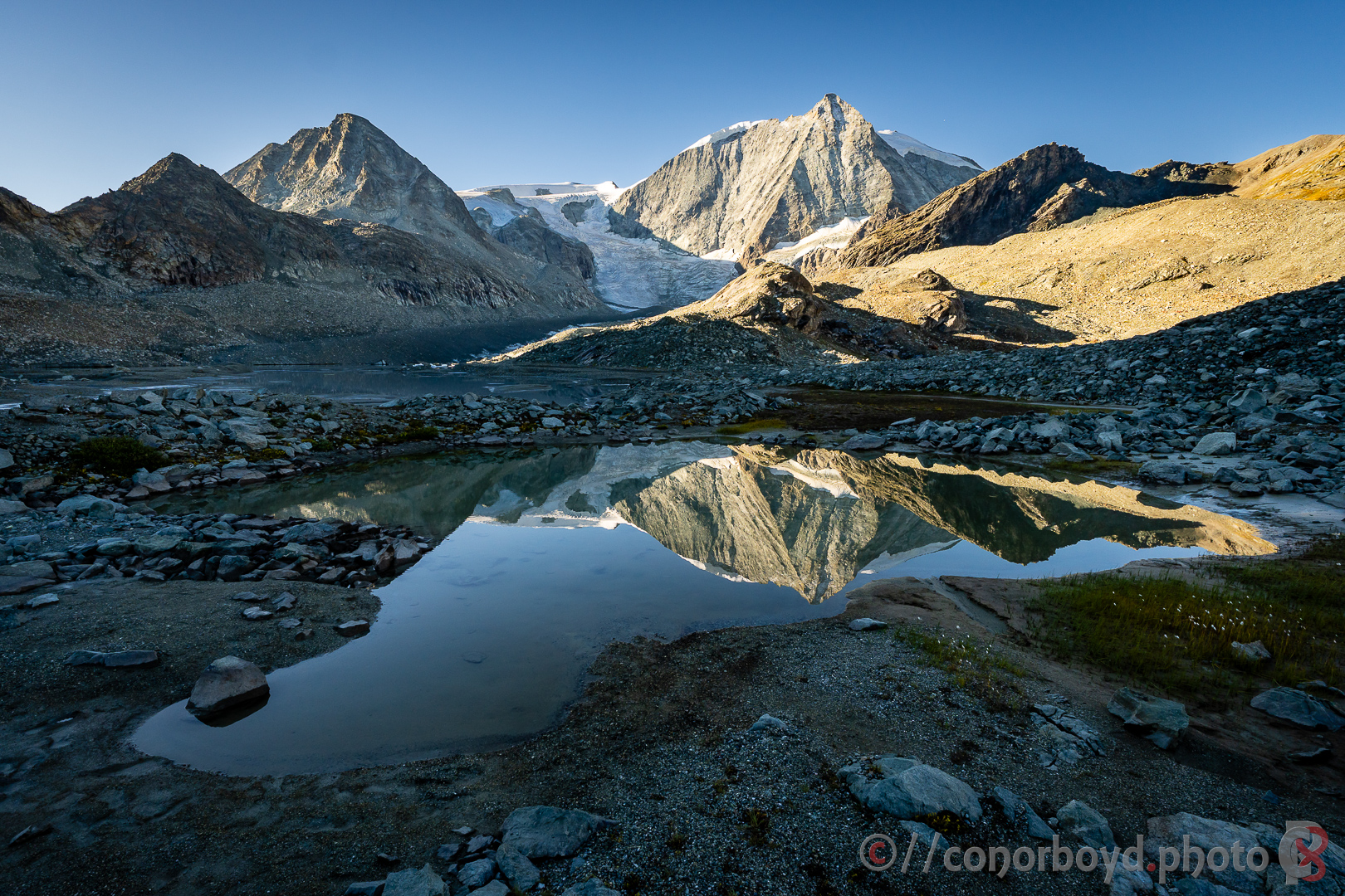
Once over the Col de Louvie (2921m) there’s a pretty bleak stretch across the Grand Desert towards the Col de Prafleuri (2965m). It’s a very stark environment, really bringing home the extent of glacial retreat in the Alps leaving behind acres of glacial moraine. This would be a challenging section in inclement weather.
Destination tonight was the Cabane de Prafleuri (CHF80pp), the location of which does feel like it’s at the bottom of a quarry really (which it sort of is given historical quarrying of glacial gravels as part of building the world’s tallest gravity dam, the Grande Dixence). Cold showers only, toilet facilities were limited and not quite sufficient for a full hut of hikers, but the hut was otherwise warm; food as usual was good.
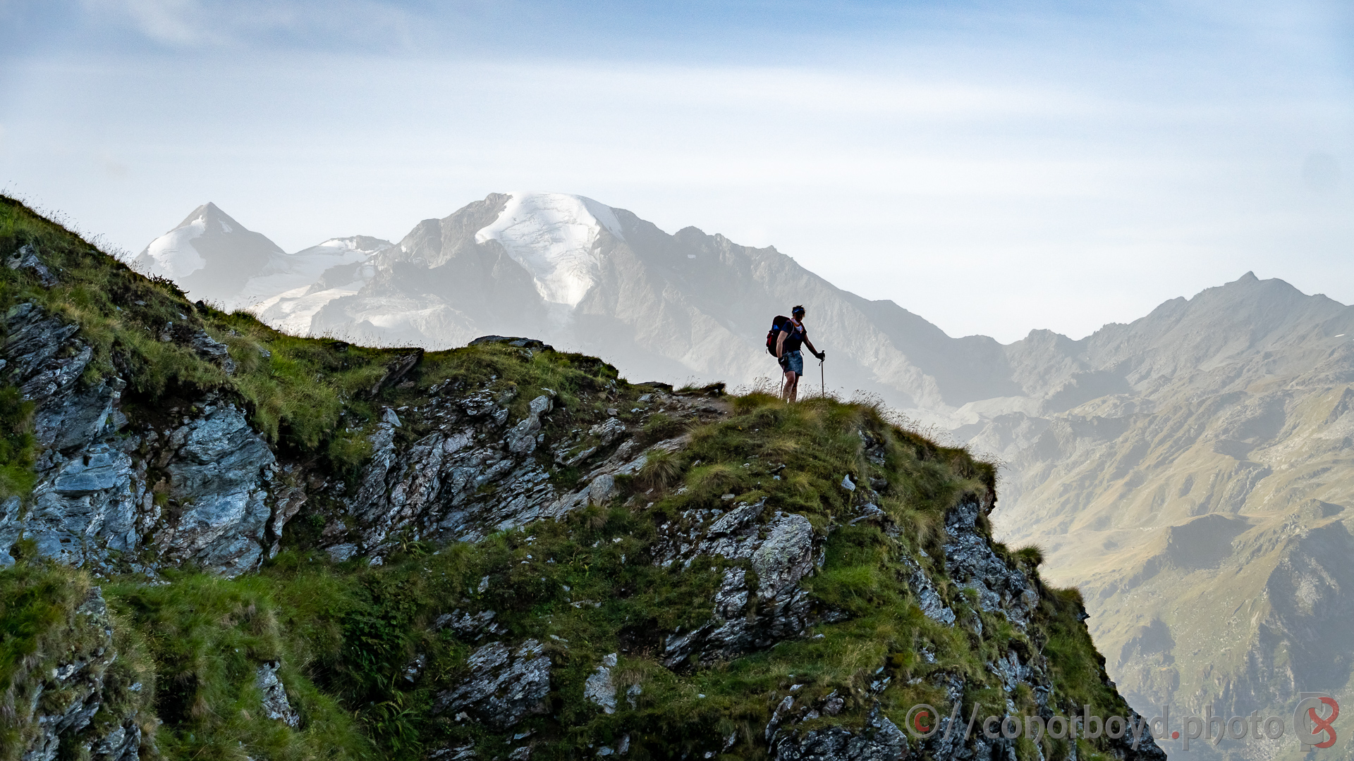
Day 5 | Cabane de Prafleuri → Cabane des Dix | 10.61km ↑ 1401m ↓ 1133m
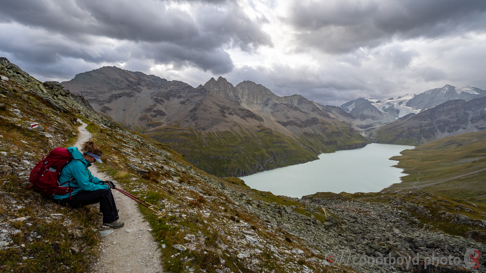
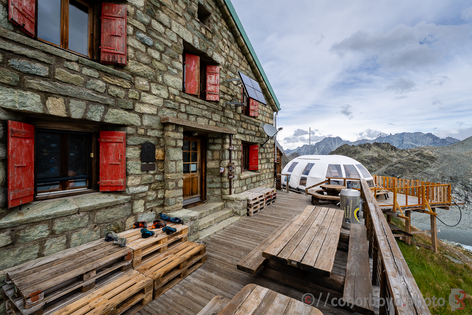
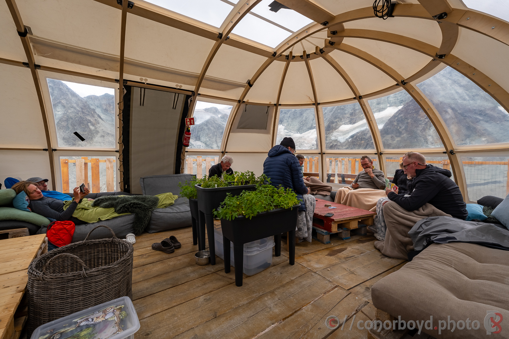
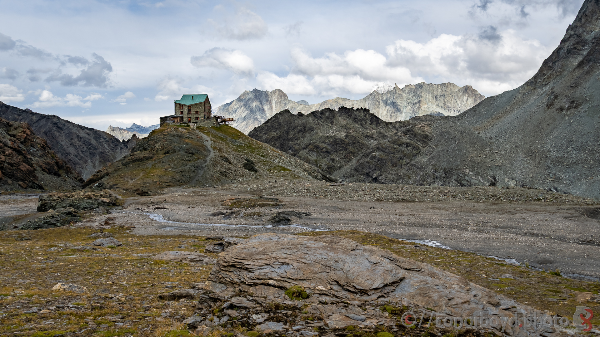
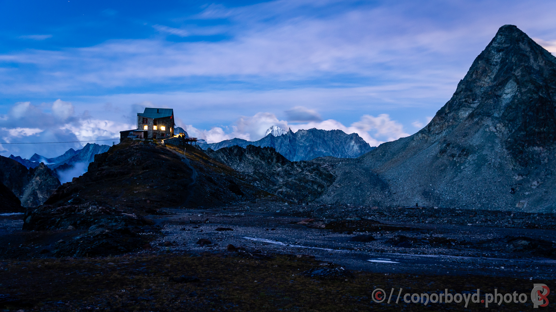
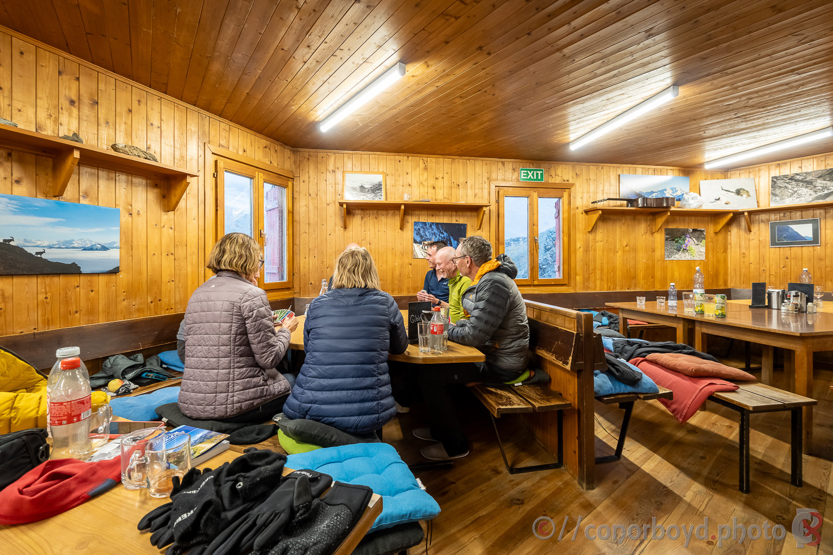
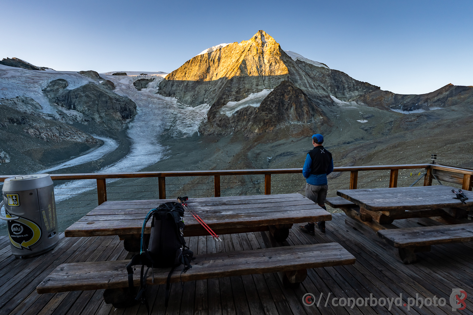
The weather forecast all week had been picking this day as pretty stormy and so it proved. Up and over the Col des Roux (2804m) and down to join the old dam construction road along the side of the Lac des Dix. The conditions got gloomier and gloomier and it was a bit of an epic making our way upwards into the teeth of 75km+ wind gusts and driving rain towards the highest accommodation of our Haute Route at Cabane des Dix (2928m; CHF97pp). This is another substantial hut, but the hut warden told us nobody got much sleep the night before due to the stormy conditions. Very quirky hut (outside cold shower only), with a fantastic canvas “chill zone” outside with bean-bags, blankets, etc, a resident Samoyed hut dog, a piano and other musical instruments, and a large telescope.
Day 6 | Cabane des Dix → Les Haudères | 19.02km ↑ 769m ↓ 2209m
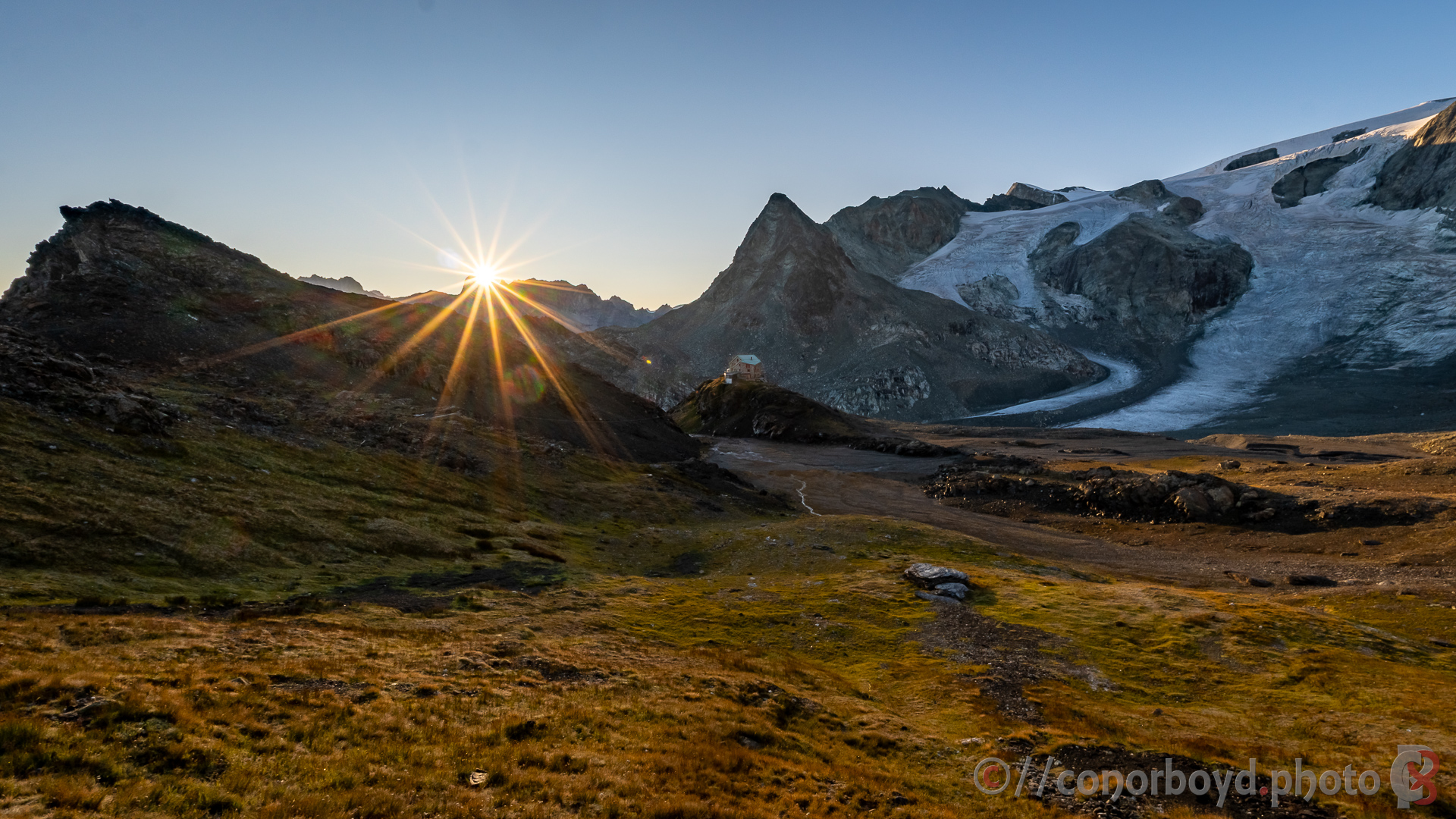
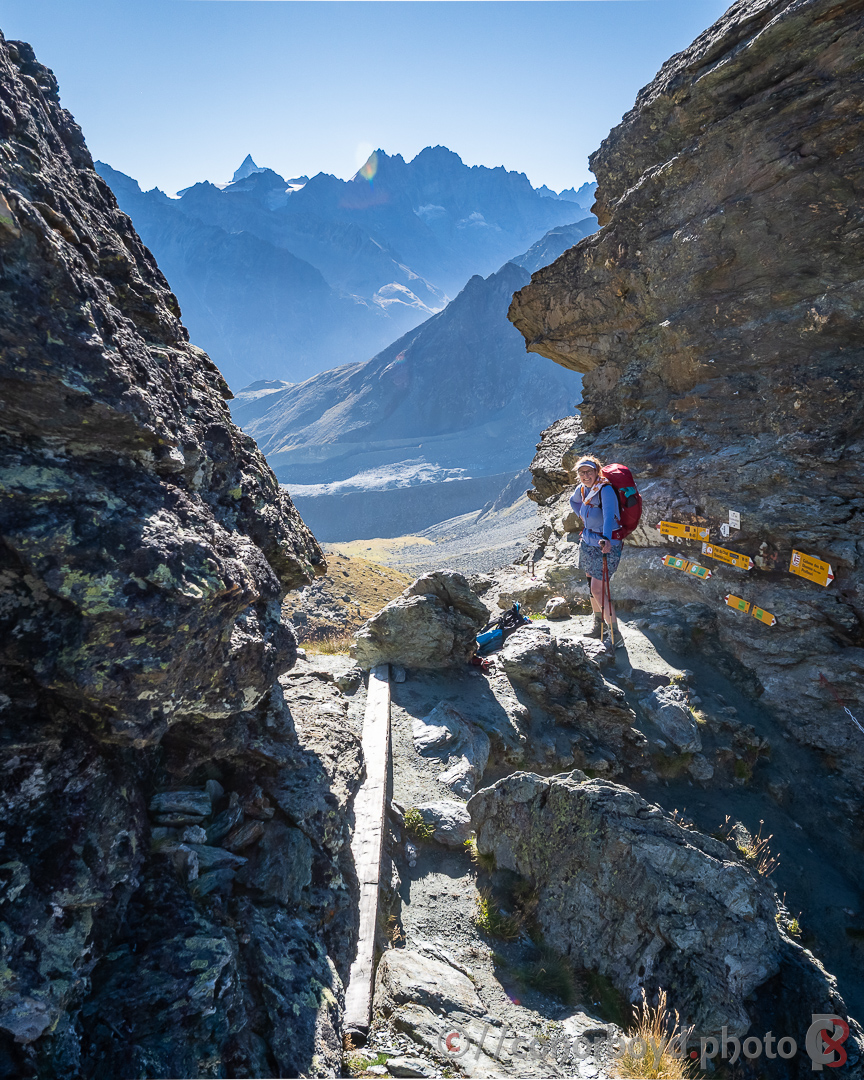
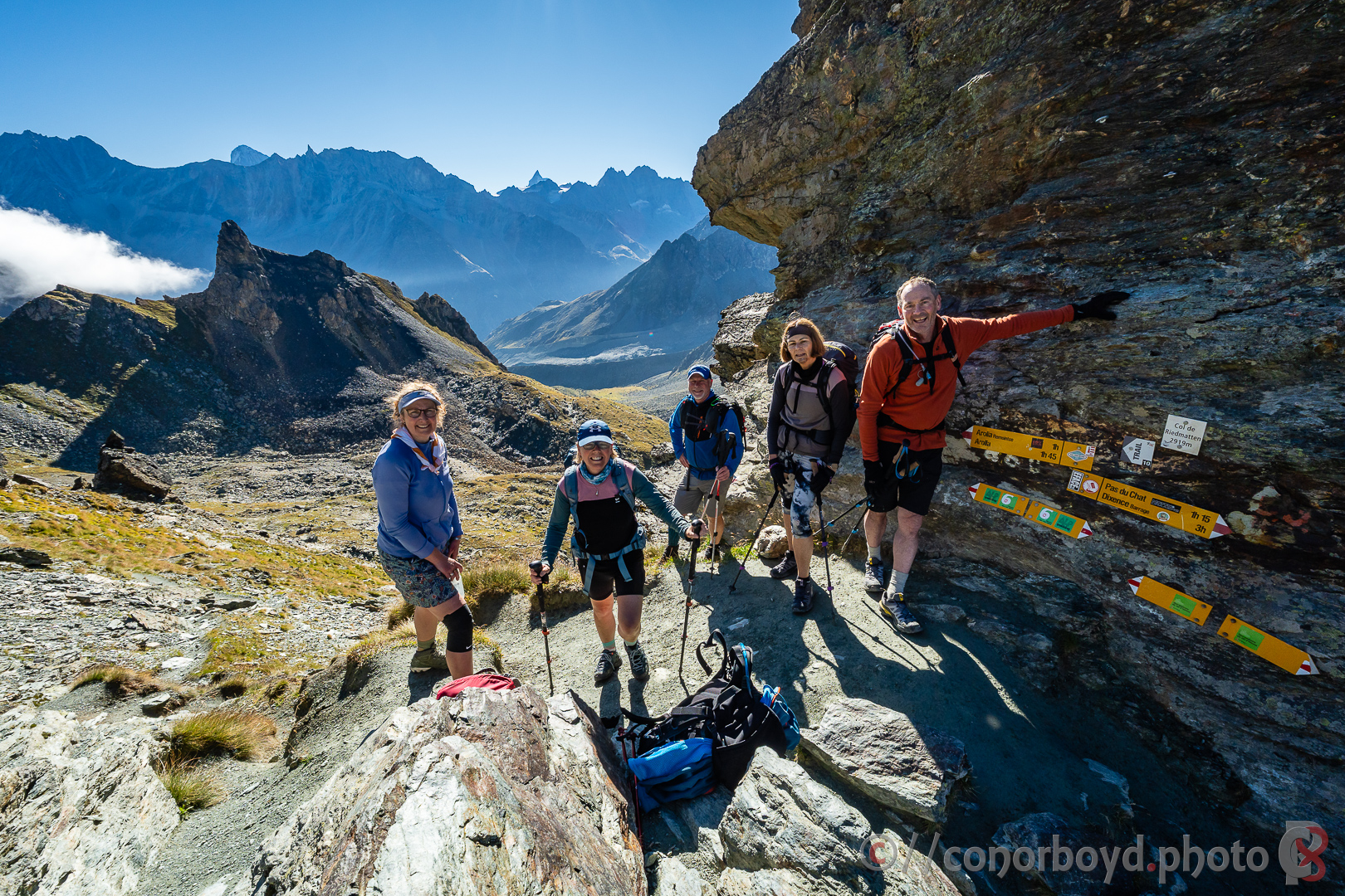
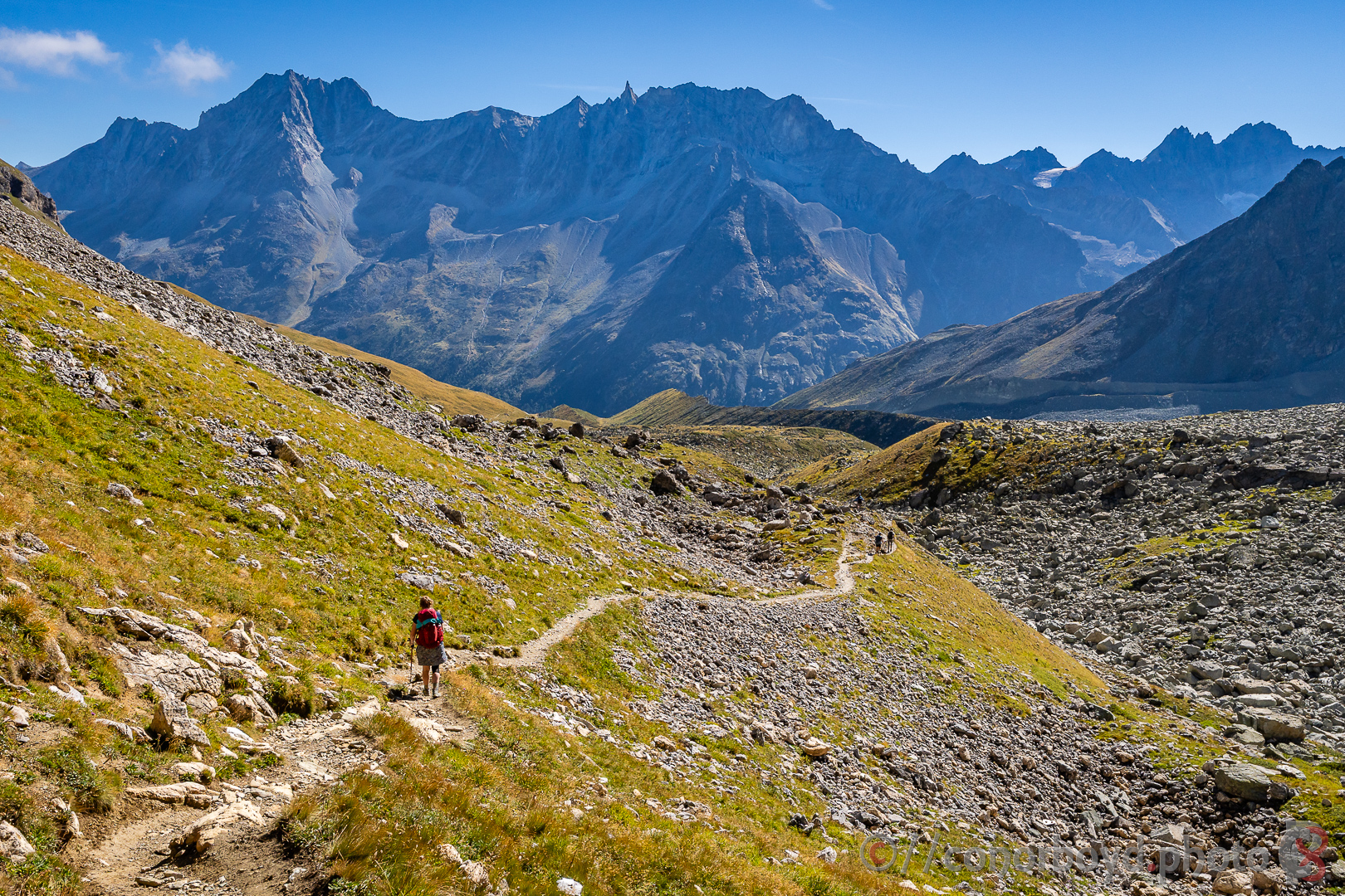
The longest day of our Haute Route with the largest descent. We woke to a beautifully clear and calm morning, gear had mostly dried out, and we headed 300m back down from Cabane des Dix to the track junction and then towards Col de Riedmatten (2918m). This col has replaced the ladders of the previous route over the Pas de Chèvres, access to which is yet another victim of glacial retreat and moraine collapse.
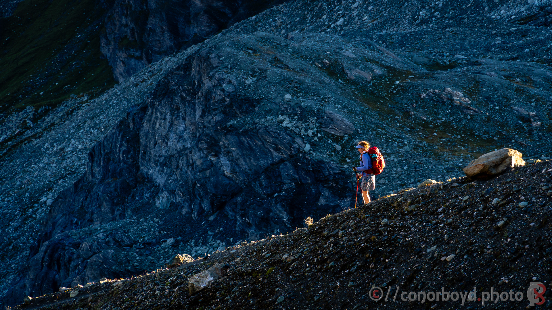
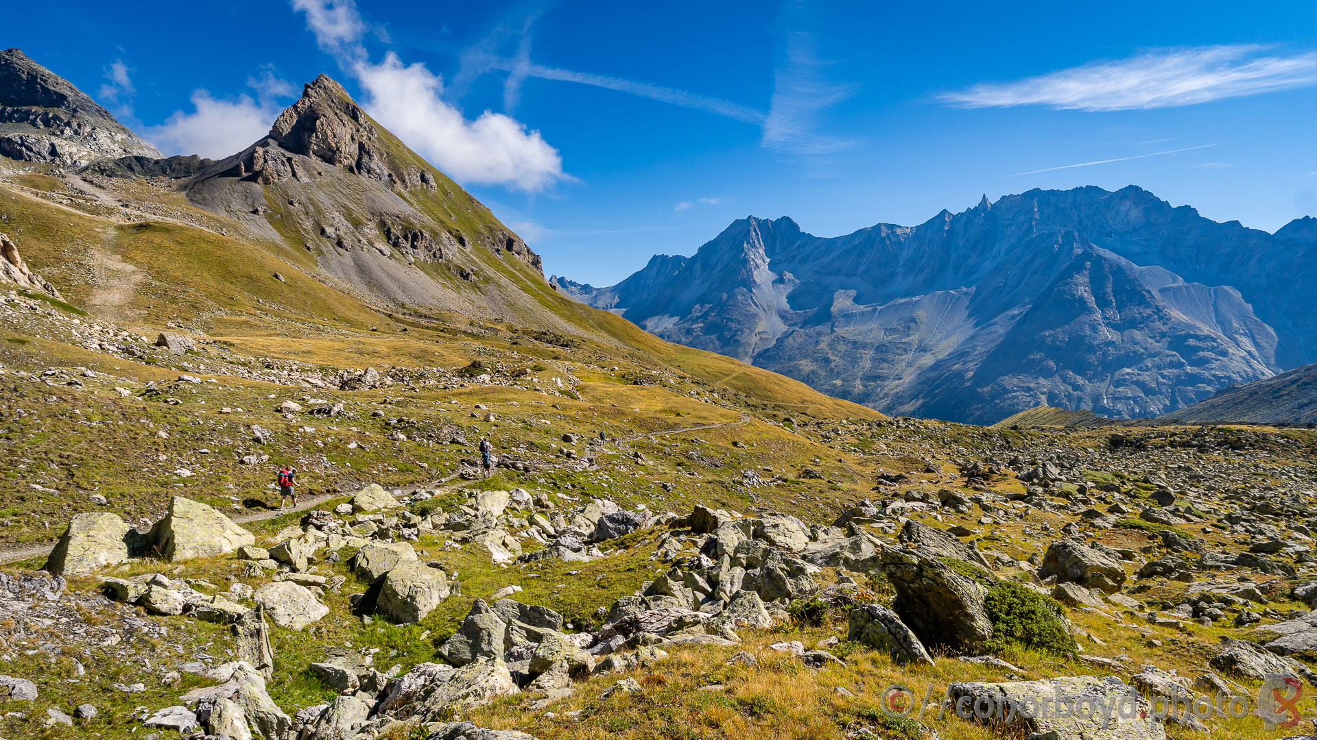
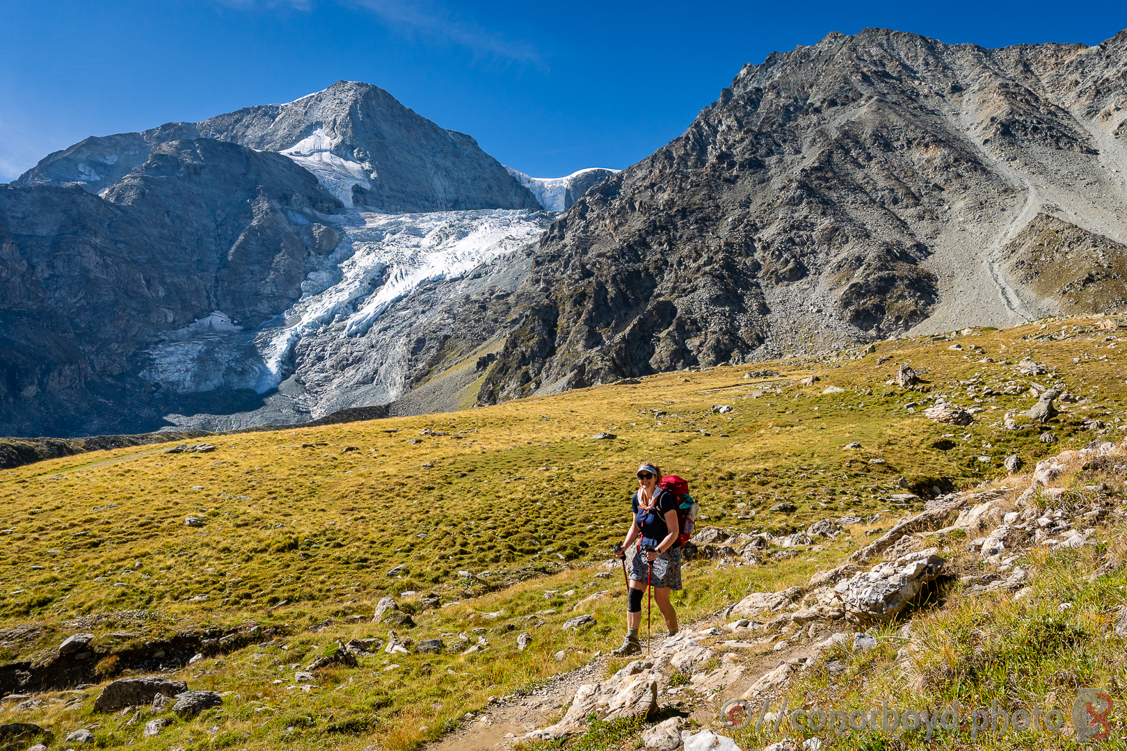
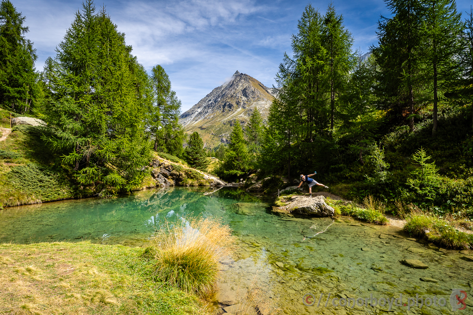
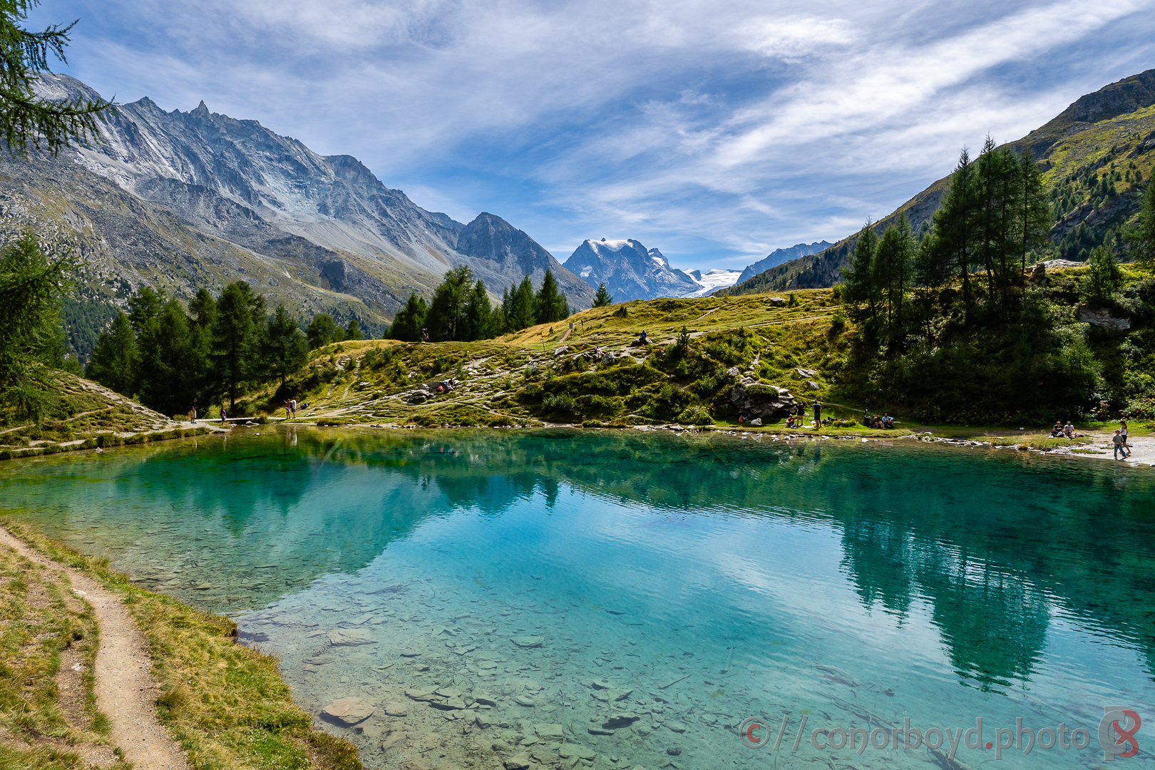
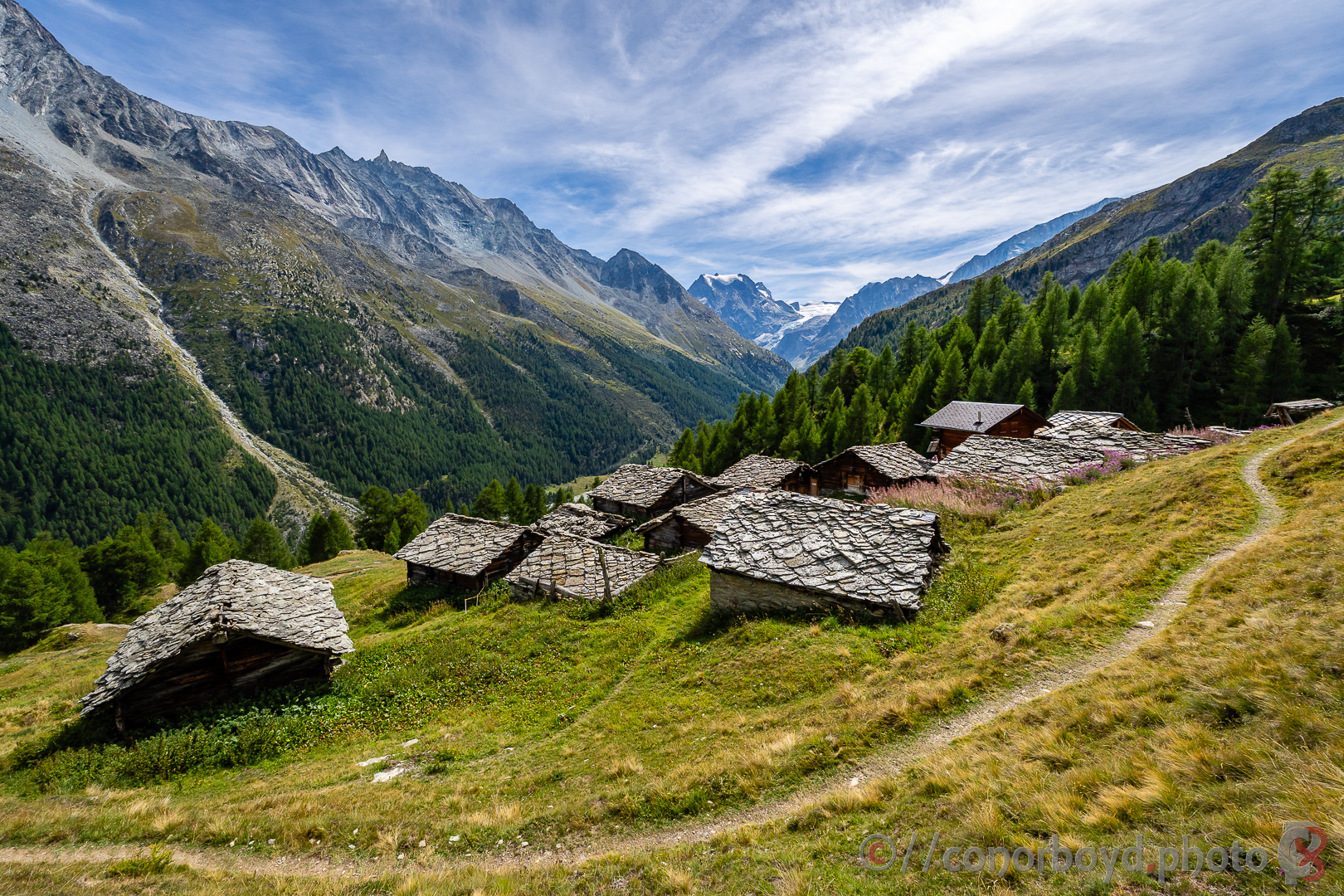
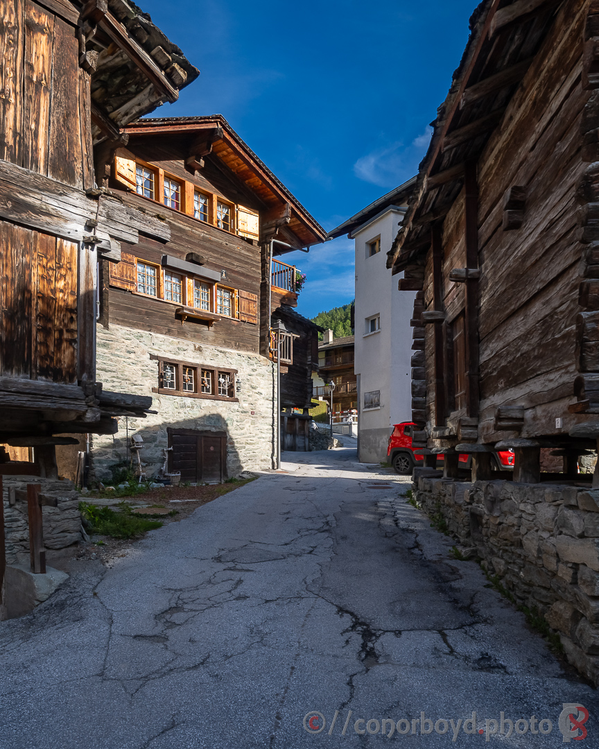
We dropped quickly down into the grassy valley of the Montagne d’Arolla, and on down to the little village of Arolla itself where we grabbed a great lunch roll at the village store. Some of the team decided to catch the Post bus down valley, while Ildica & I sidled round to Lac Bleu before a steady descent down the rest of the valley with increasingly tired feet to our accommodation (Hotel Gite des Alpes) in Les Haudères and a well-earned pizza in the hotel’s family-run restaurant.
Part Deux to follow…