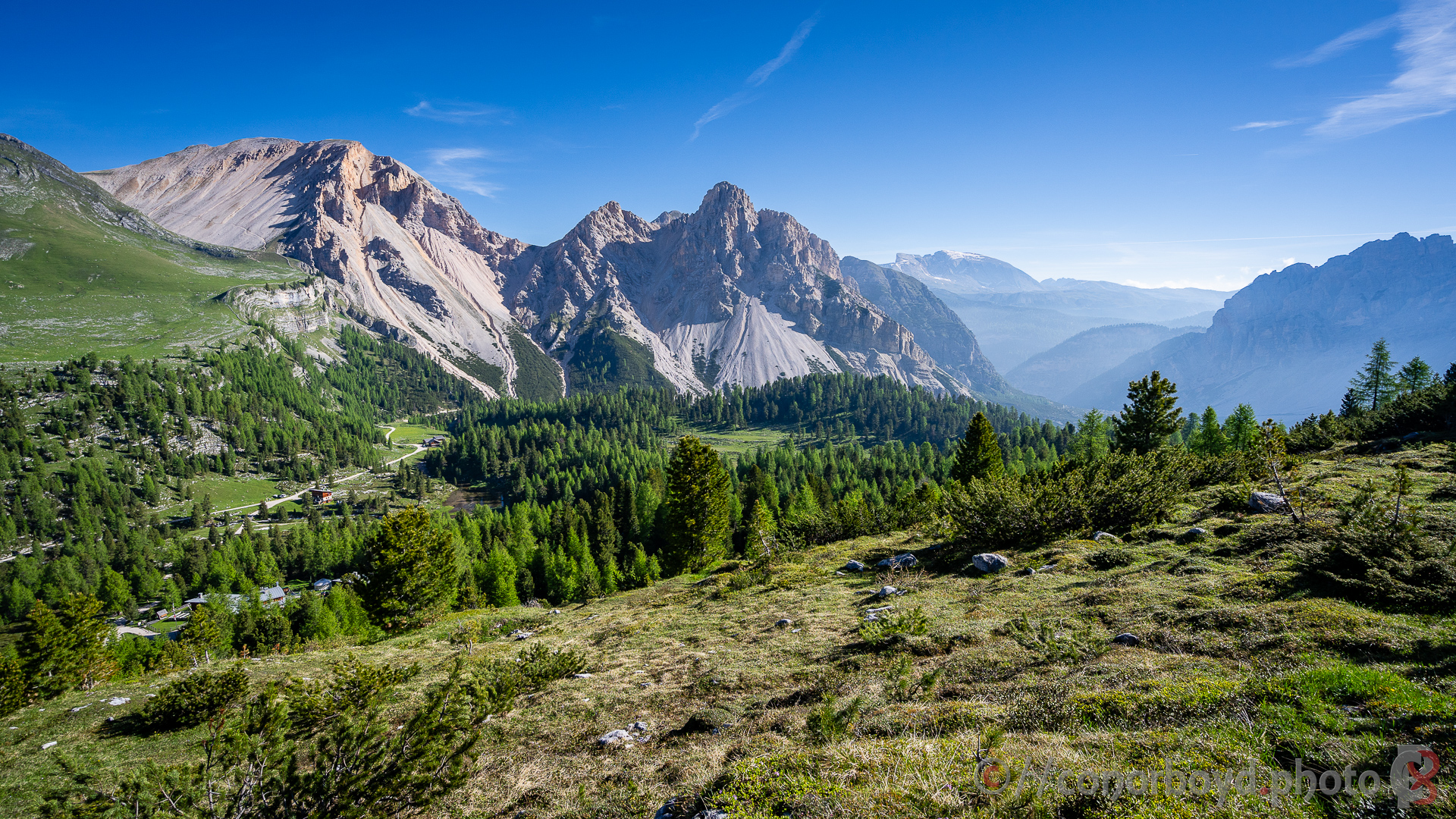
We were really keen to do a multi-day hut to hut hike, and the Alta Via #1 seemed like a relatively easy intro to multi-day hiking in the Dolomites. It’s very popular, but trying to squeeze in between the start of the summer hiking season (when the snow has hopefully receded enough and the rifugi are starting to open) and the height of the European summer (school holidays, etc) seemed a reasonable bet and it worked out really well for us.
We decided to use the services of Mont Trekking to make the arrangements for us as a self-guided hike, particularly since the rifugi are generally independently operated and there is no central booking service for all the rifugi. Mont Trekking arranged a hotel in Cortina at the start and in Belluno at the end, transfers to/from the start/end of the Alta Via, and all the rifugi. Worth booking early; Mont Trekking booked the rifugios for us in November last year when the bookings start opening up for the following season.
With the rifugi providing half-board accommodation, it’s possible to travel reasonably light. You don’t need a sleeping bag, just a sheet-bag and pillow-case. All the rifugi have hot showers (usually €5), charging spots for your camera/device, plenty to eat and drink. Most of the rifugi didn’t have potable water, so factor in having to purchase bottles of water. We budgeted for carrying cash of approx €25pppd for miscellaneous expenses over and above the pre-paid half-board accommodation to cover showers, drinking water, lunches and other refreshments along the way, etc.
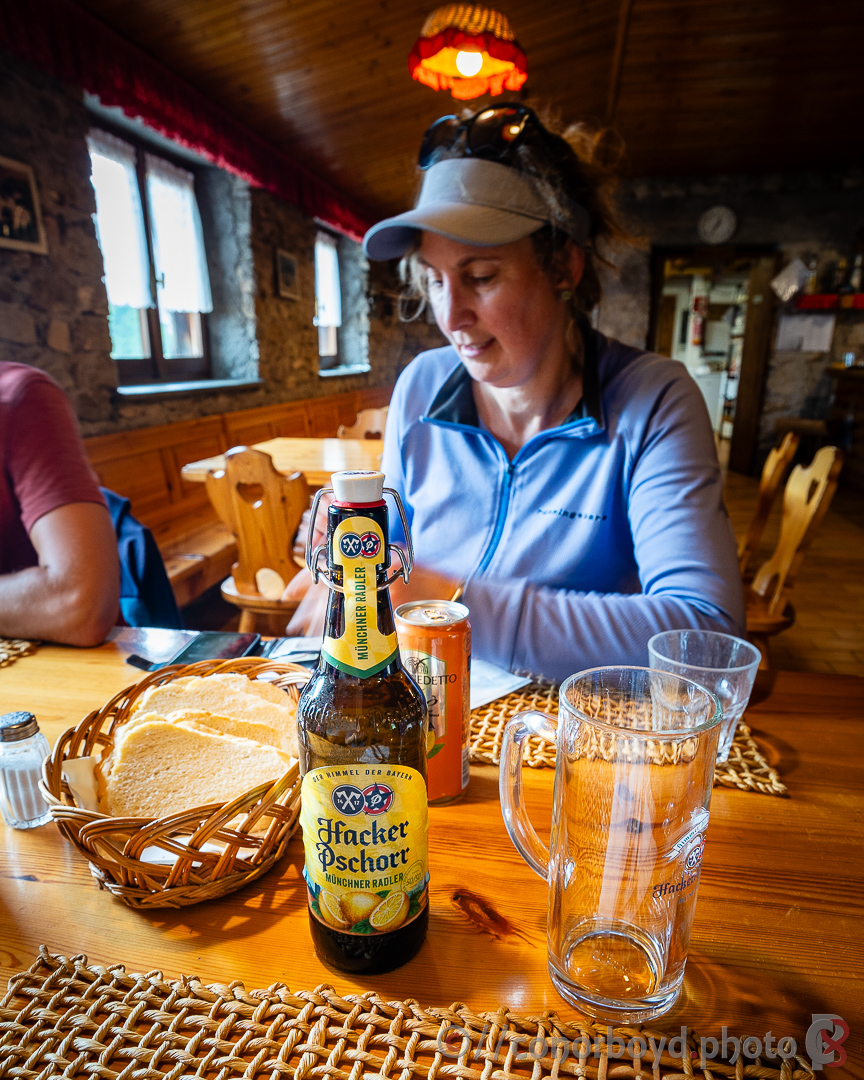
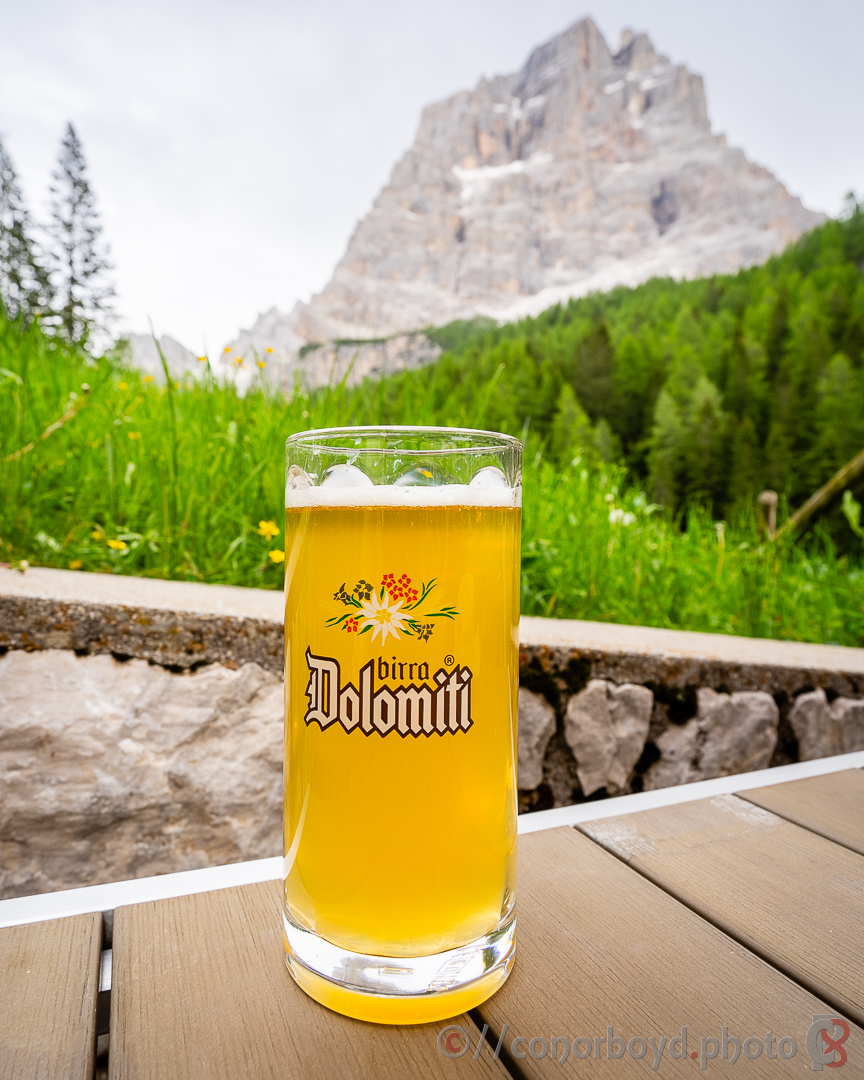
Dinner was usually 2 courses (usually with two choices for each course) followed by desert; breakfast was continental. The breakfast at Lagazuoi was exceptional, with croissant, pastries, muesli, fruit salad, fruit juices, coffee, cold meats and cheese, scrambled eggs & bacon.
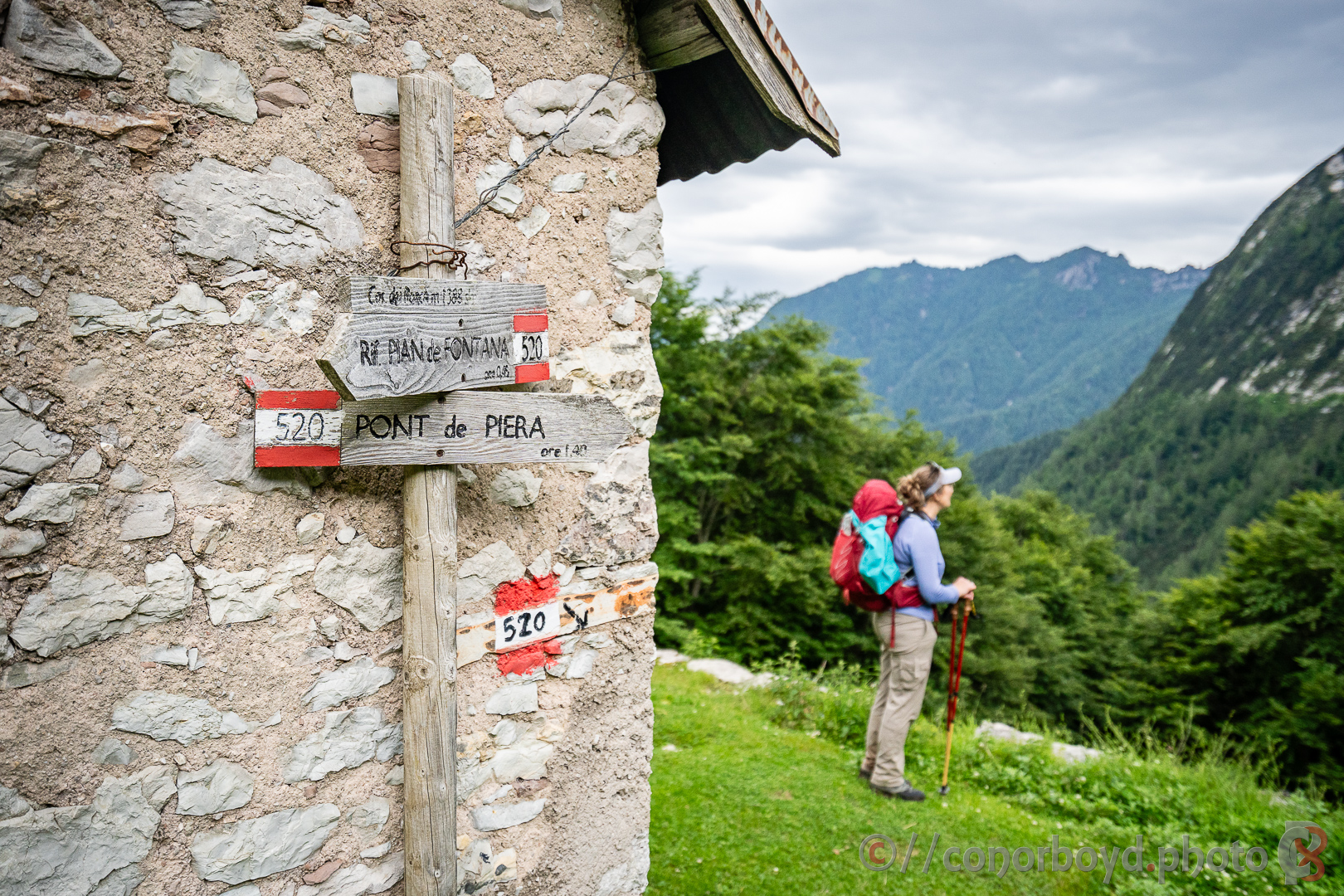
You can buy a packed lunch at most rifugi (order the previous evening); don’t abuse the rifugi hospitality by snaffling breakfast items to take for lunch. There are often other rifugi along the way for lunchtime options. Best lunch we had was on the last day at the CAI-run Rif. Pian de Fontana with a beautiful pasta & venison ragout washed down with a fine radler.
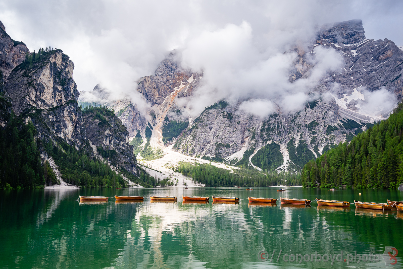
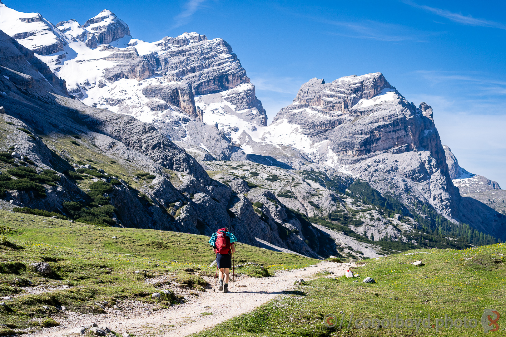
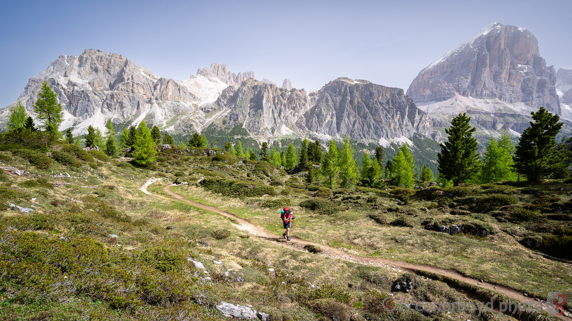
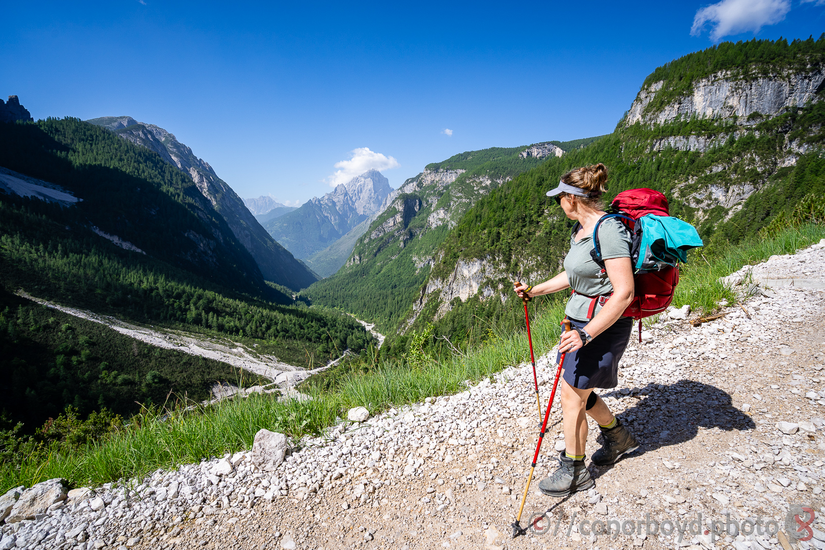
Day 1 | Lago di Braes > Sennes | 13km ↑1095m ↓475m
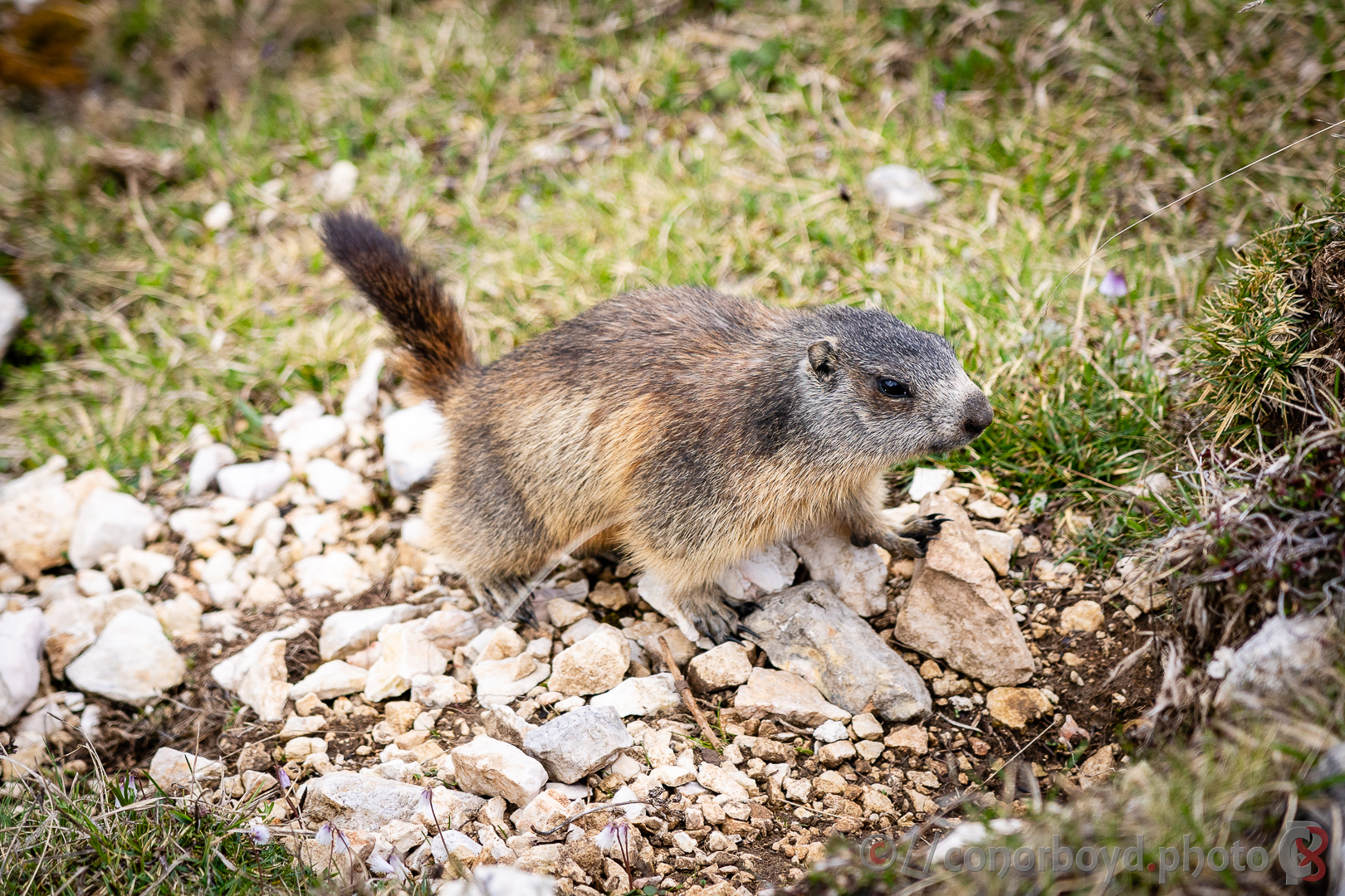
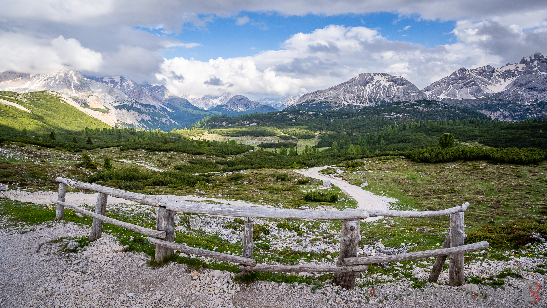
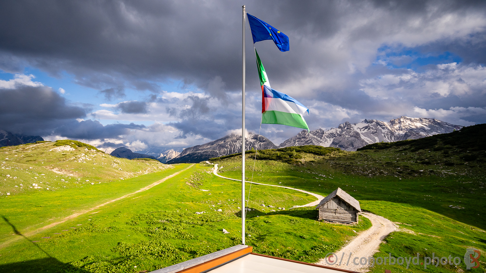
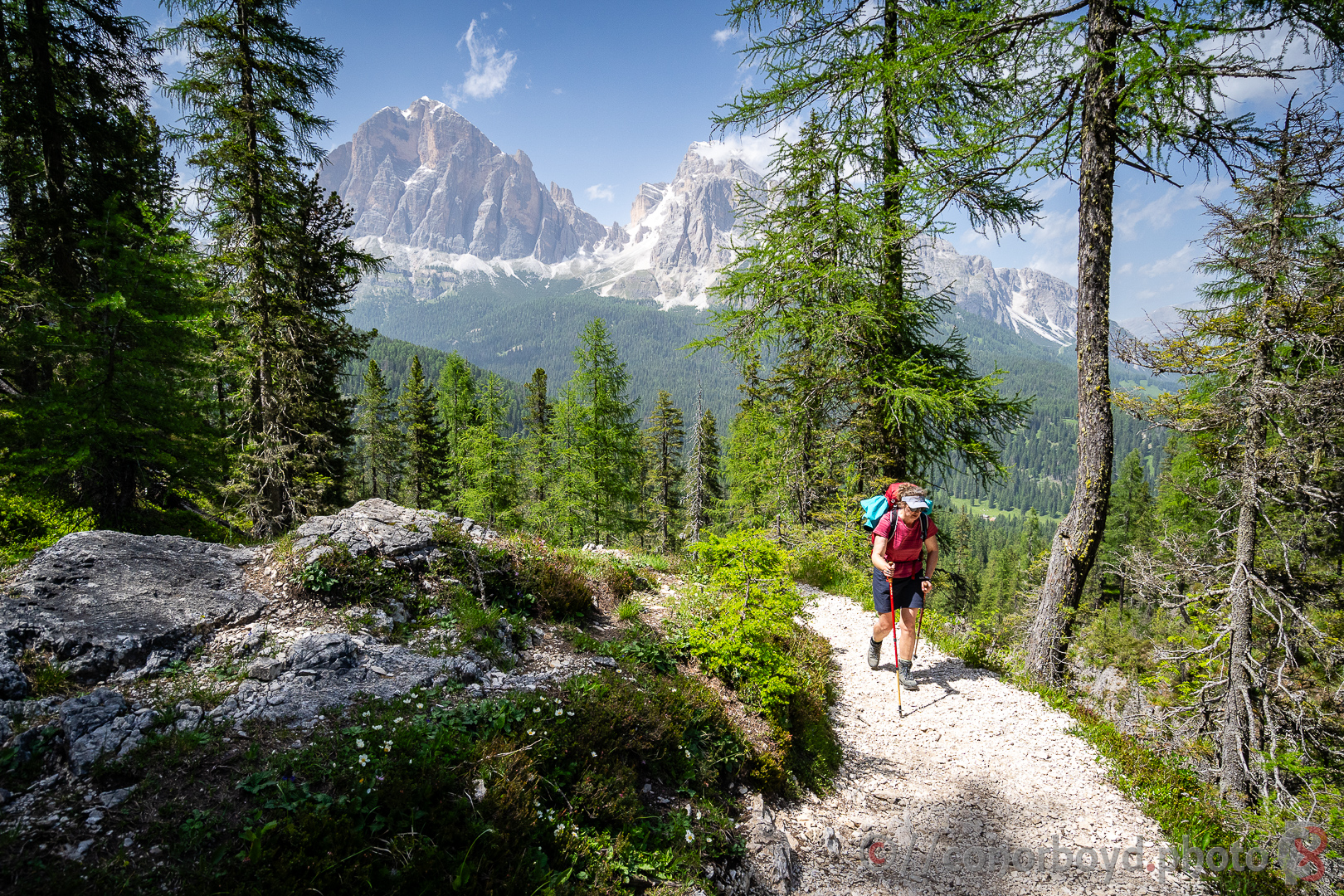
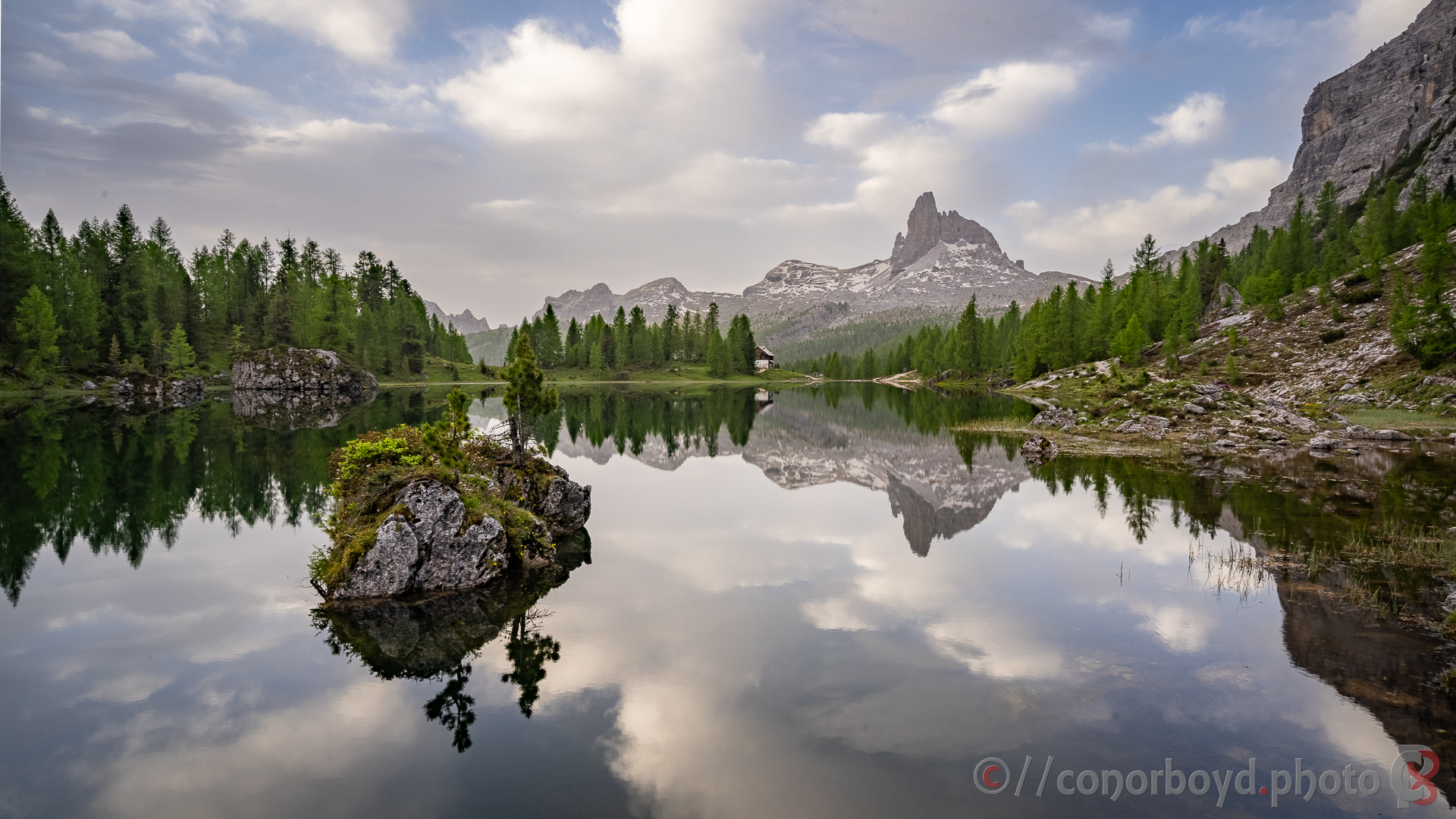
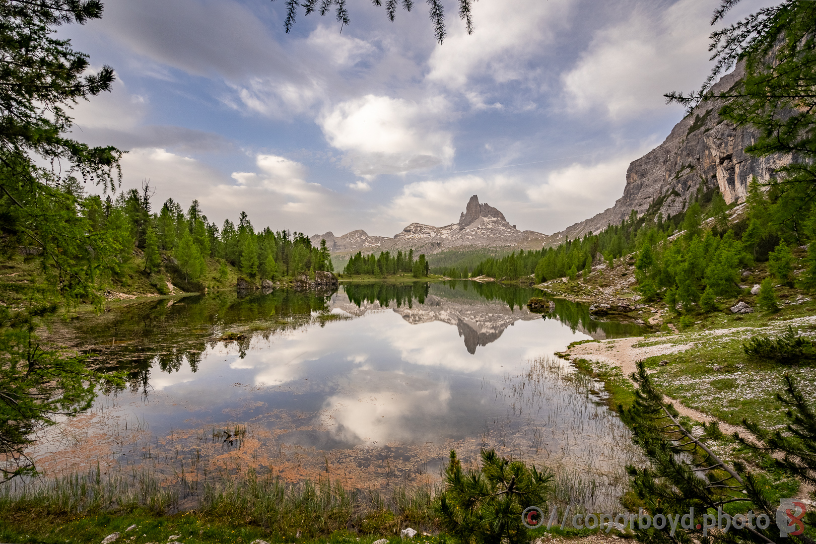
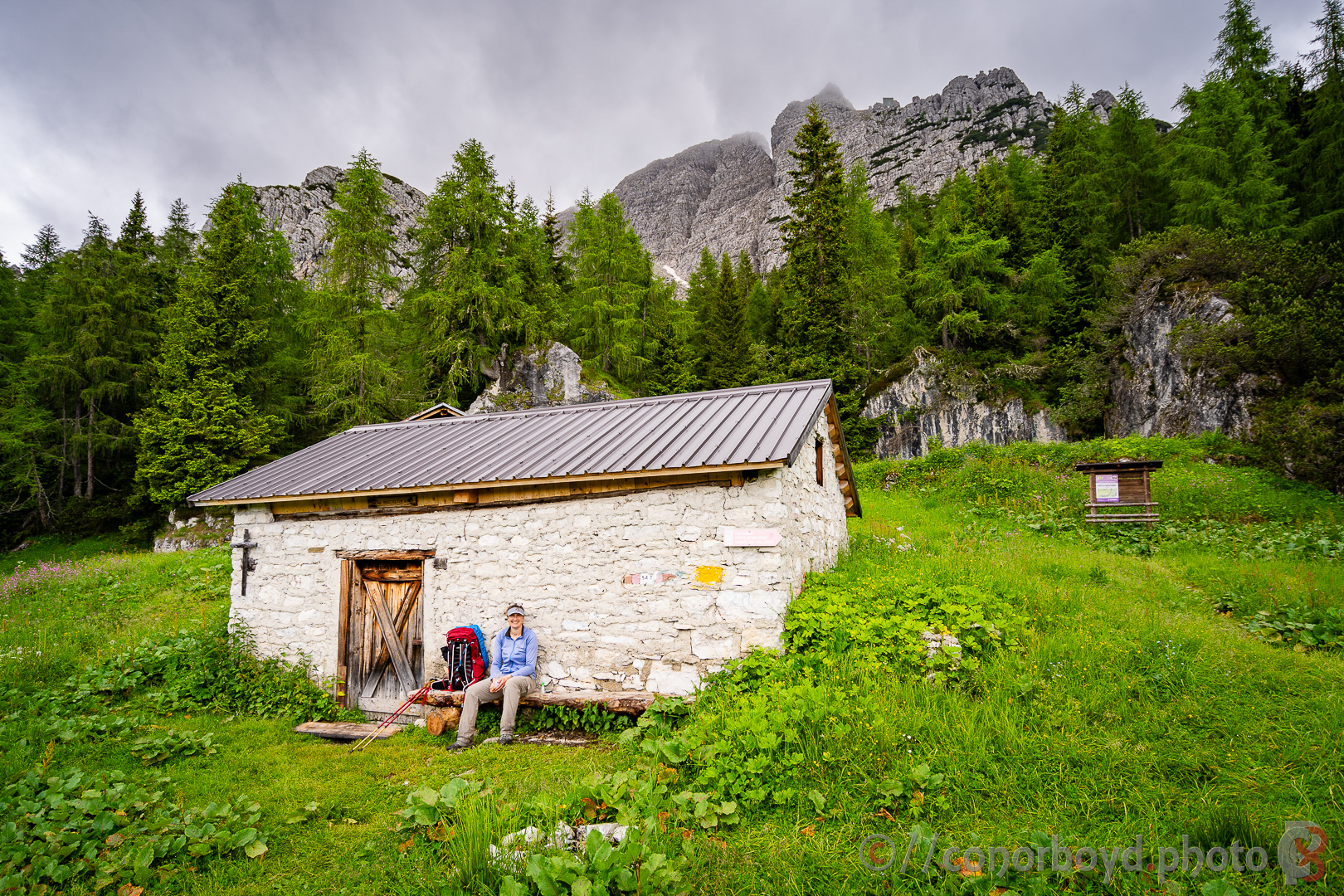
The trail starts at the tourist honeypot of Lago di Braes at about 1400m. Halfway round the lake the trail departs and heads steadily upwards leaving the crowds and the lake behind. There are a couple of route options (one more direct than the other), but steady progress takes you and over to Rif. Biella (apparently not quite as luxurious as the rifugi we were booked into) before the remaining few kms across the high stony plateau to Rif. Sennes (2116m). Quite a few marmots around, wary rather than scared of humans. There is reasonable evidence of old World War 1 military activity on the plateau here.
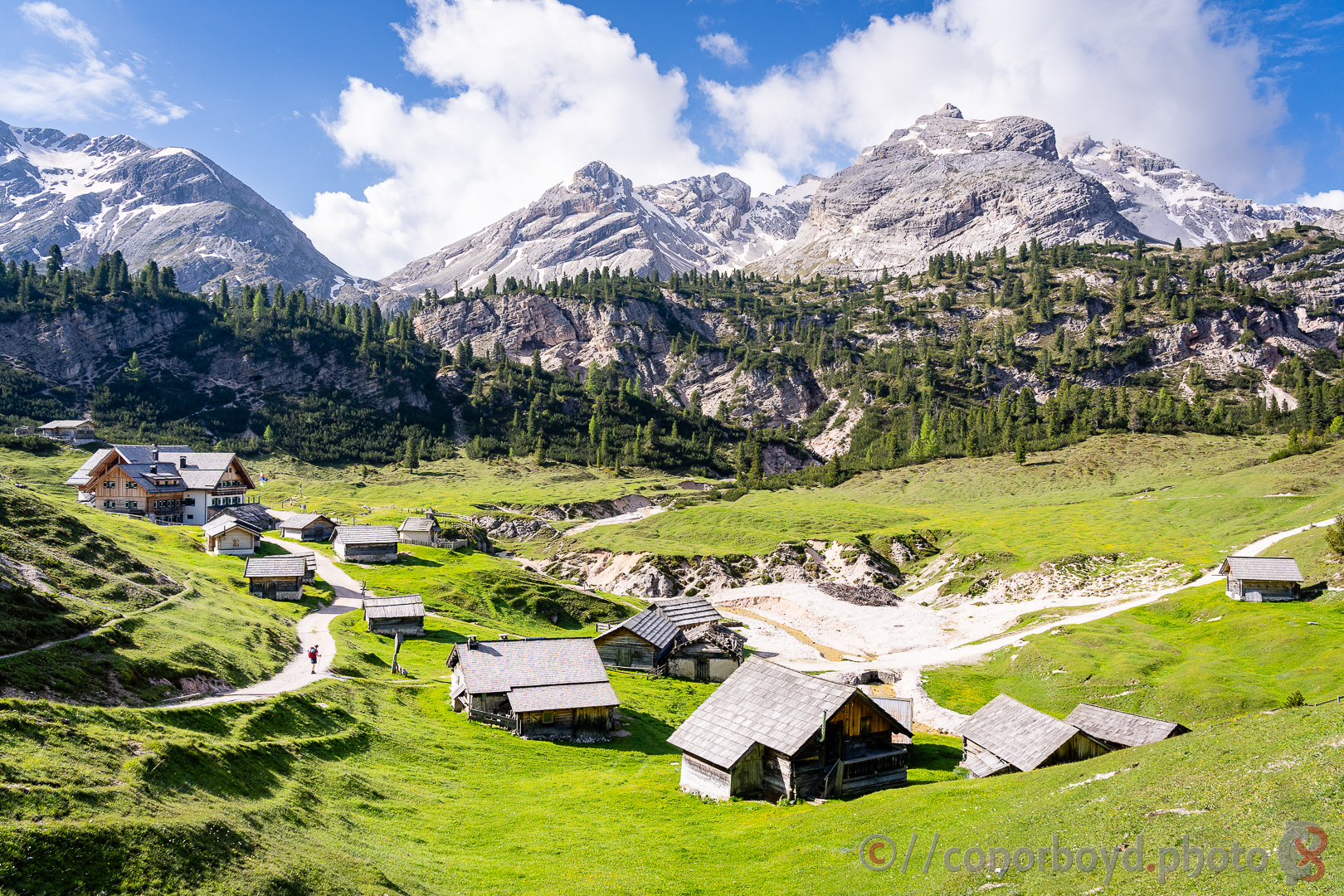
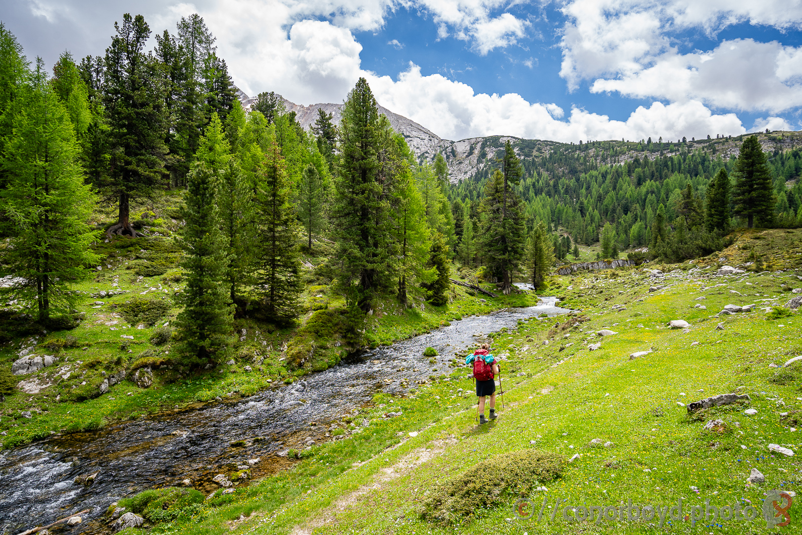
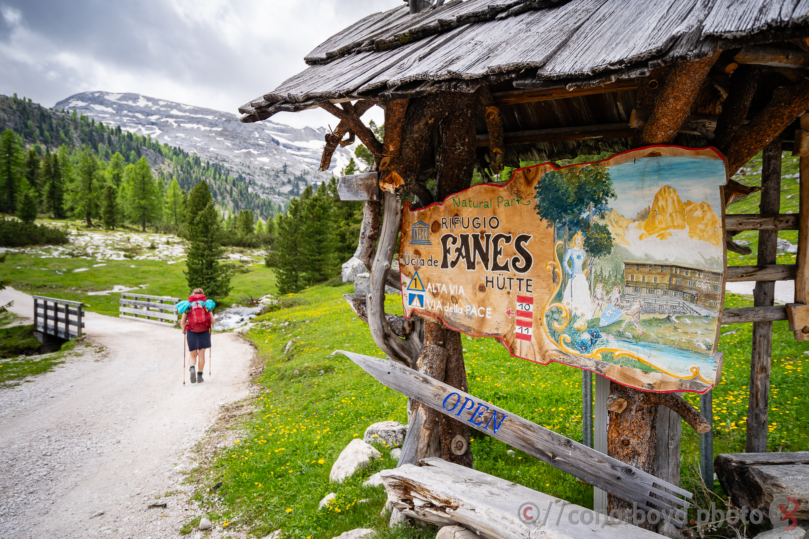
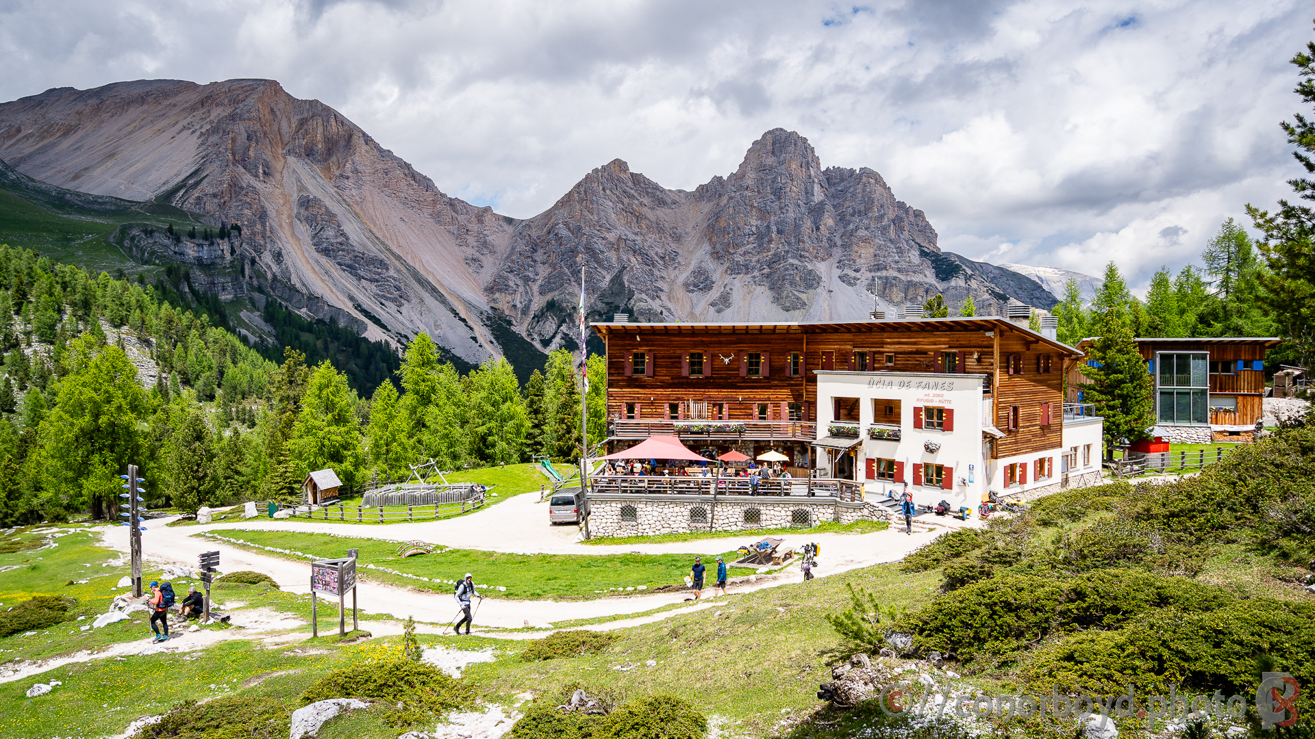
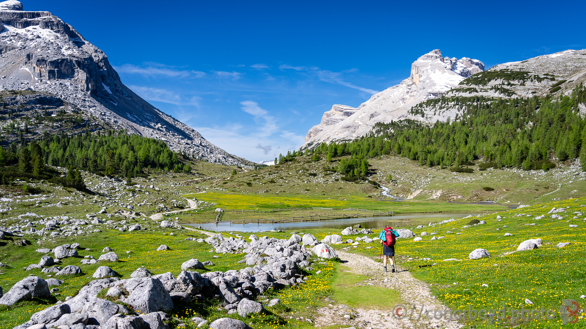
Day 2 | Sennes > Fanes | 11km ↑580m ↓650m
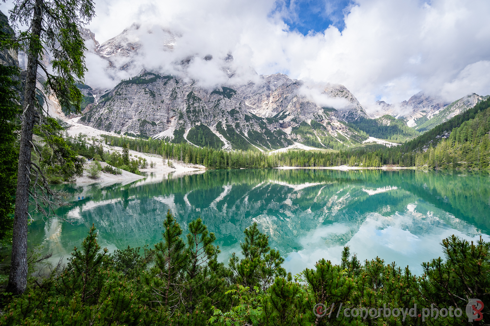
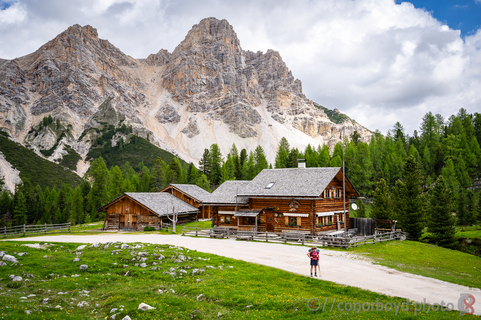
Across the rest of the Sennes plateau before dropping very steeply down to Rif. Pederü (1544m) and then more gently wending our way back up to Rif. Fanes (2060m). There is a beautiful lake (Lé Vërt) here along with a couple of other rifugi in this high basin, definitely worth taking some extra time to stretch the legs a little more and explore further in the afternoon.
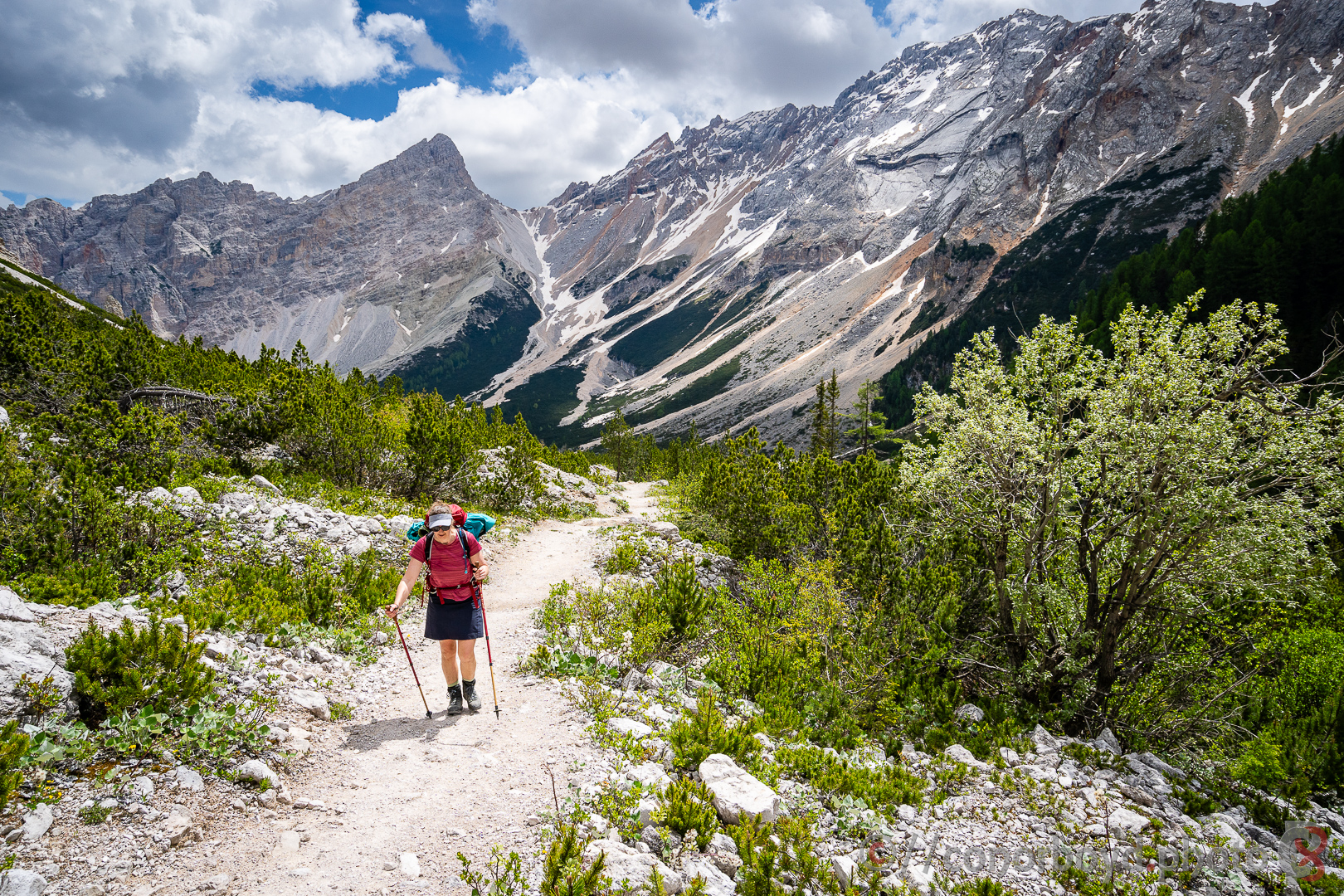
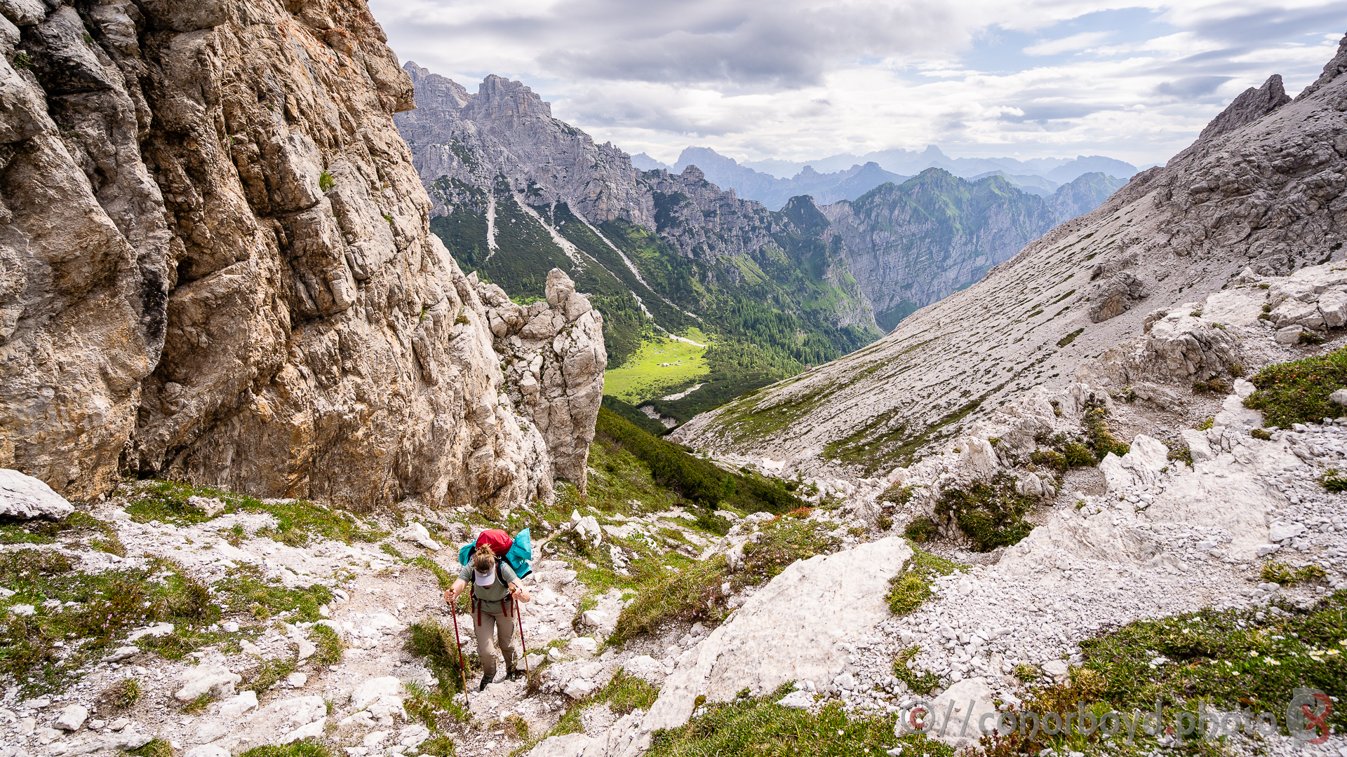
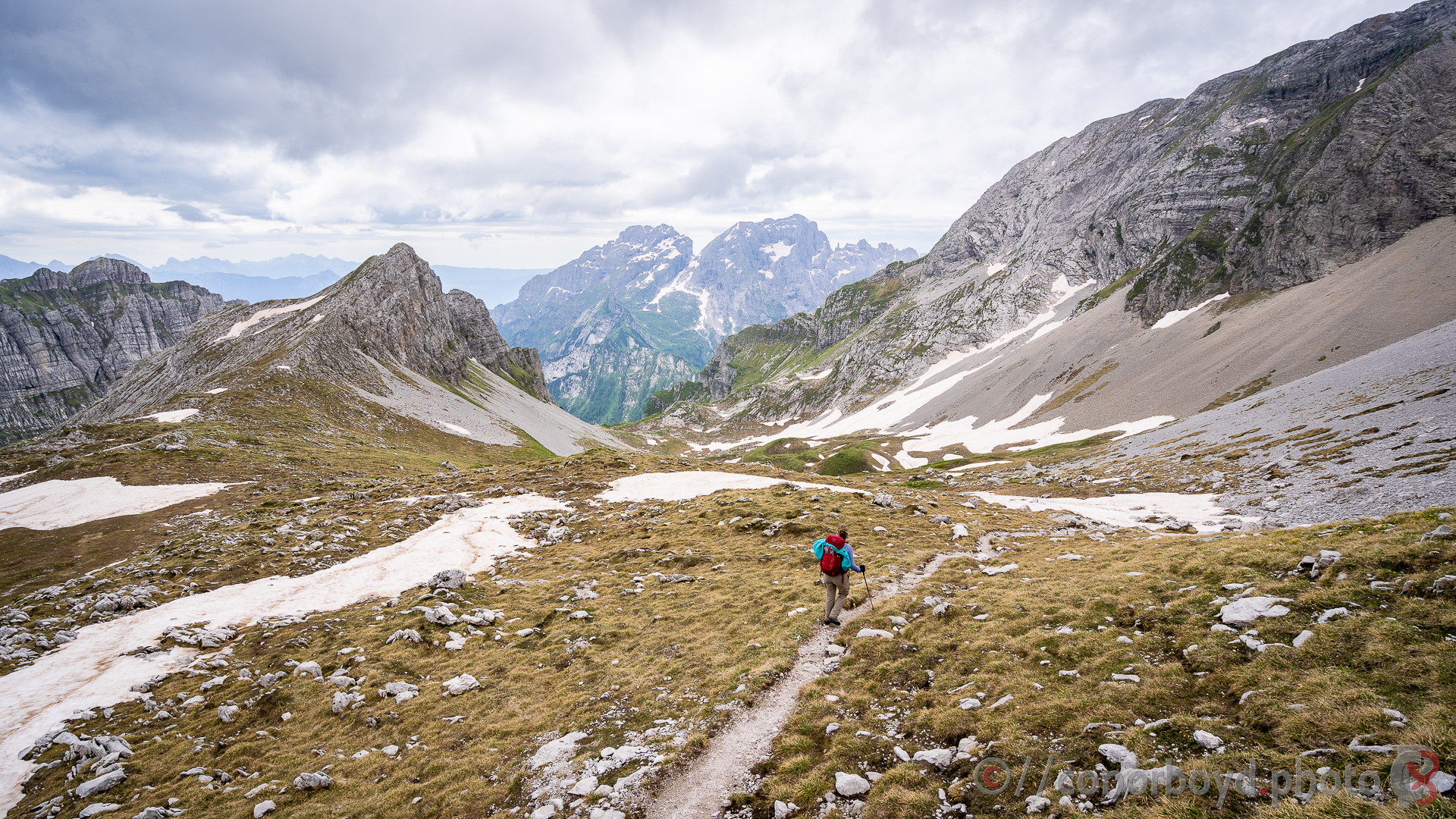
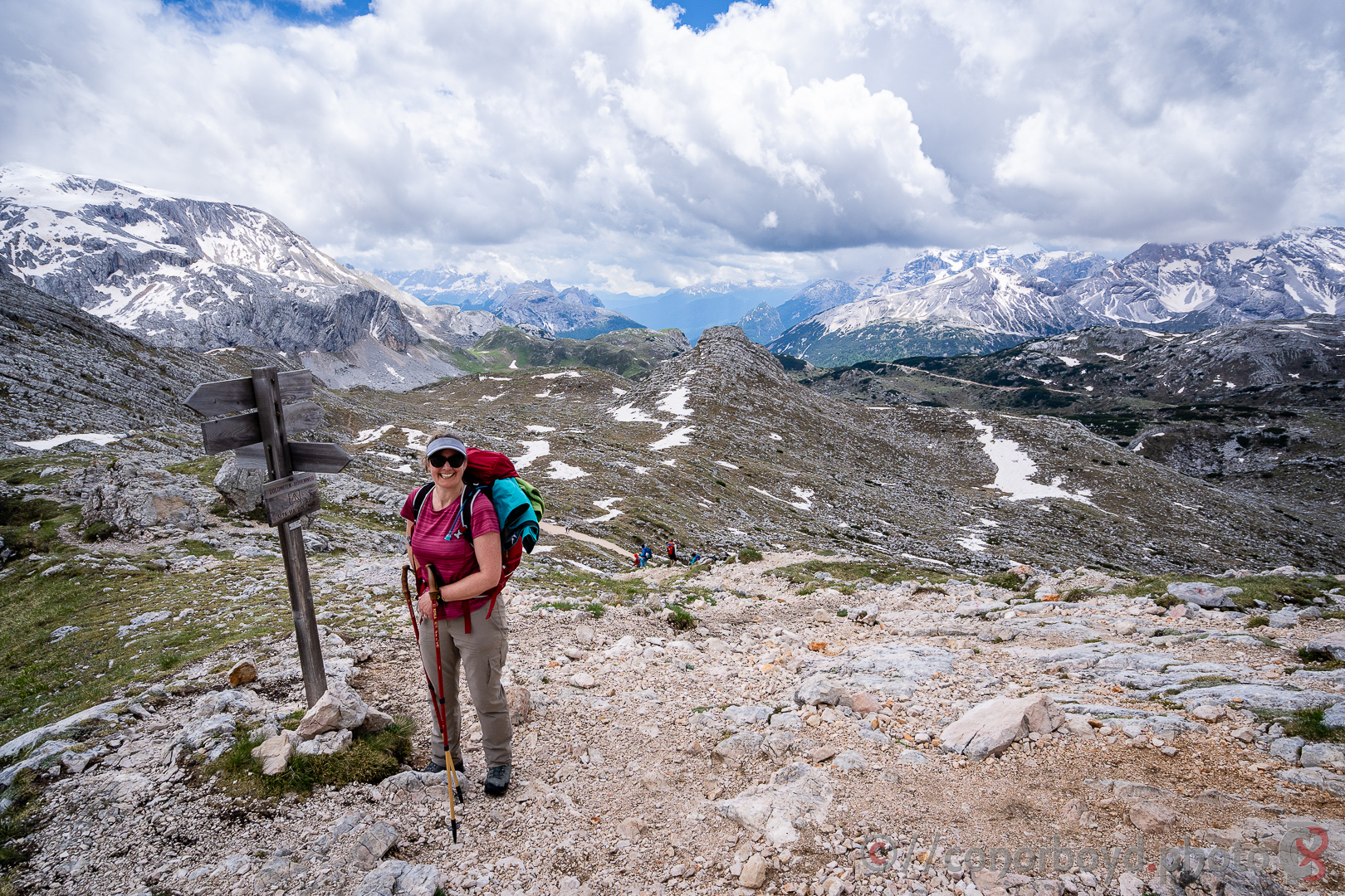
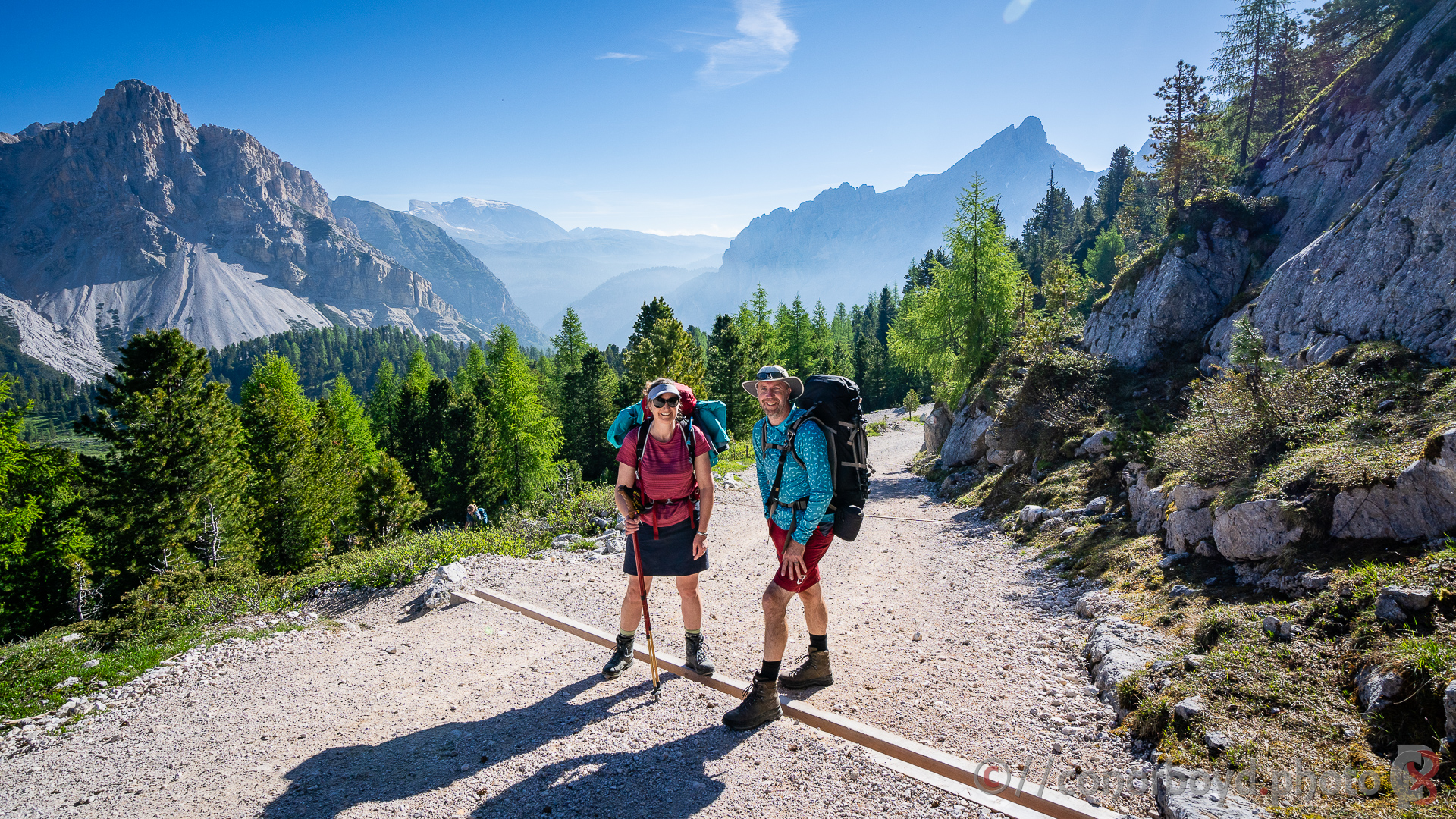
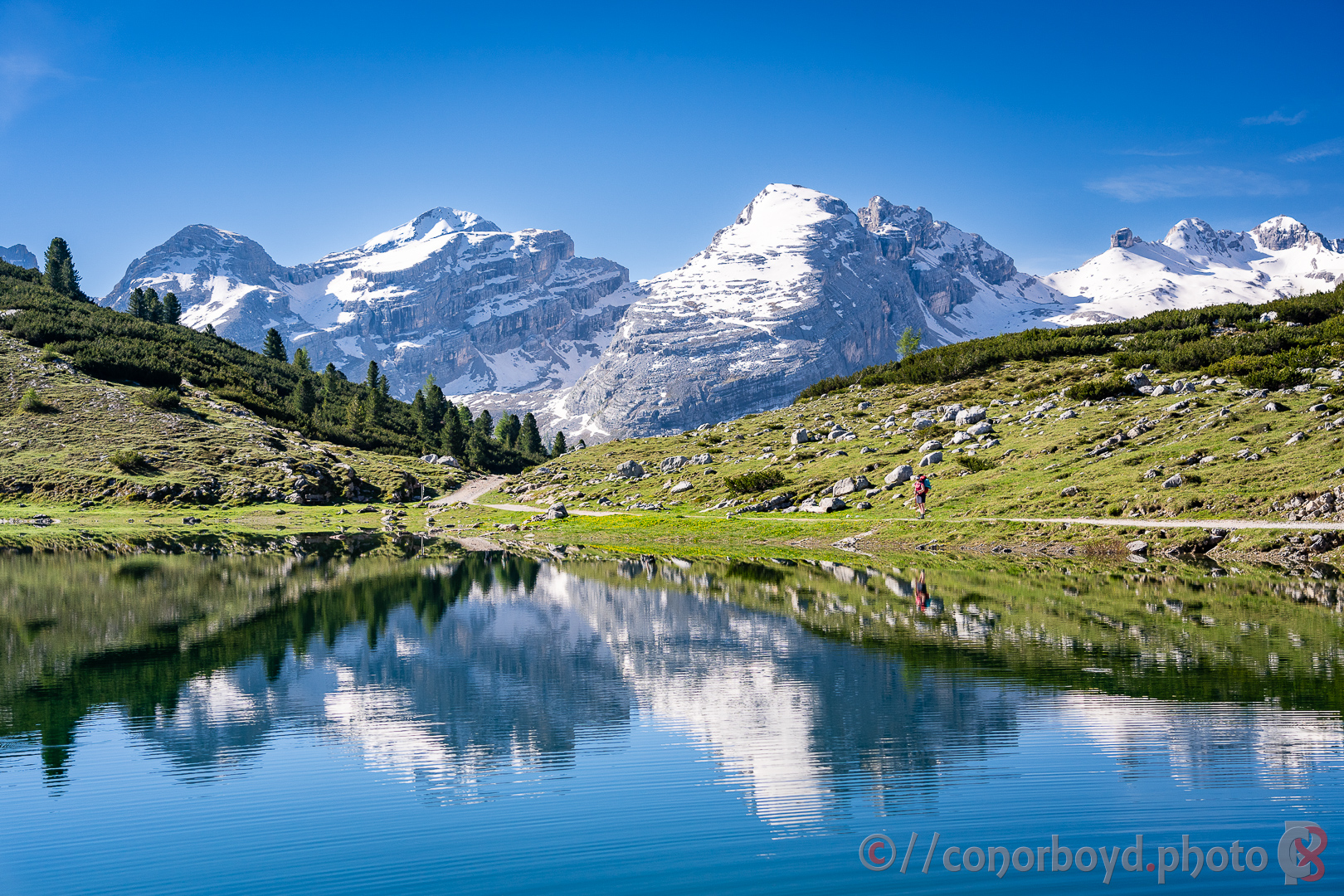
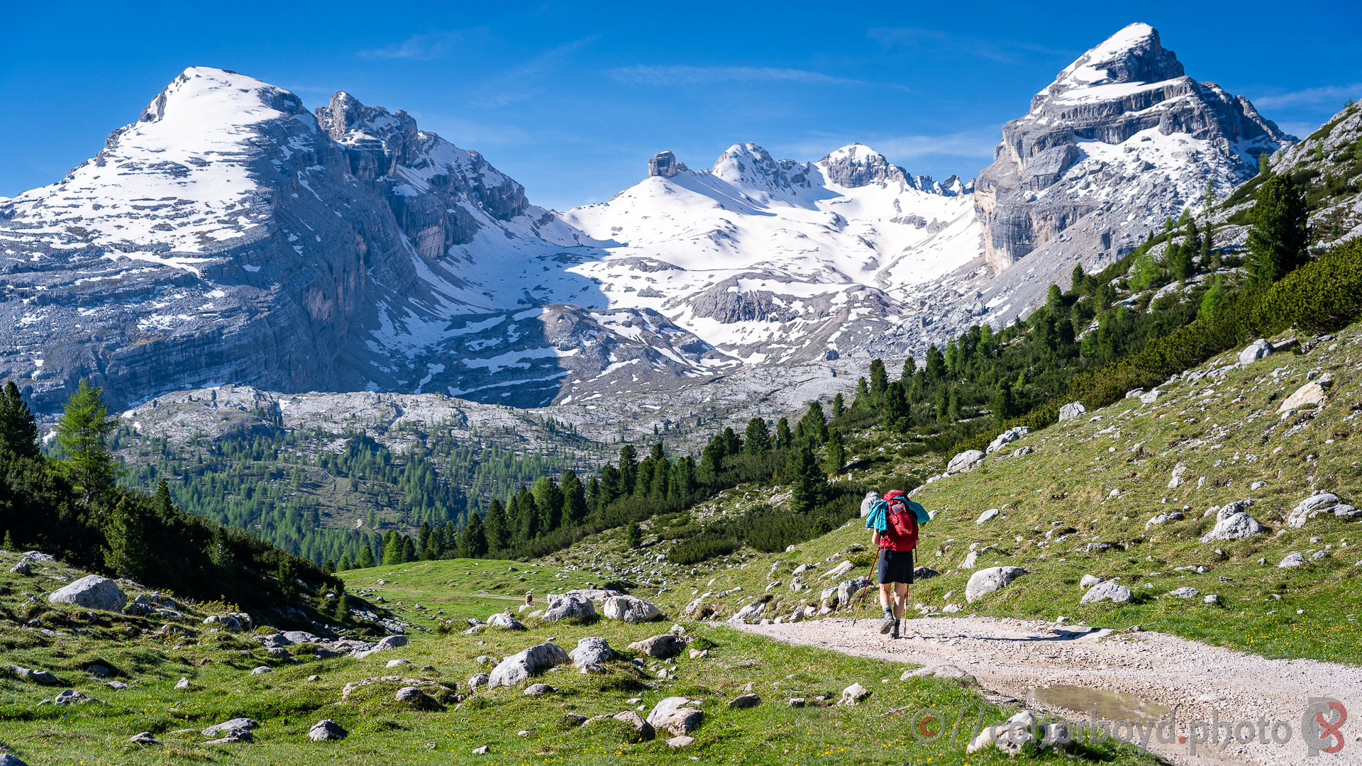
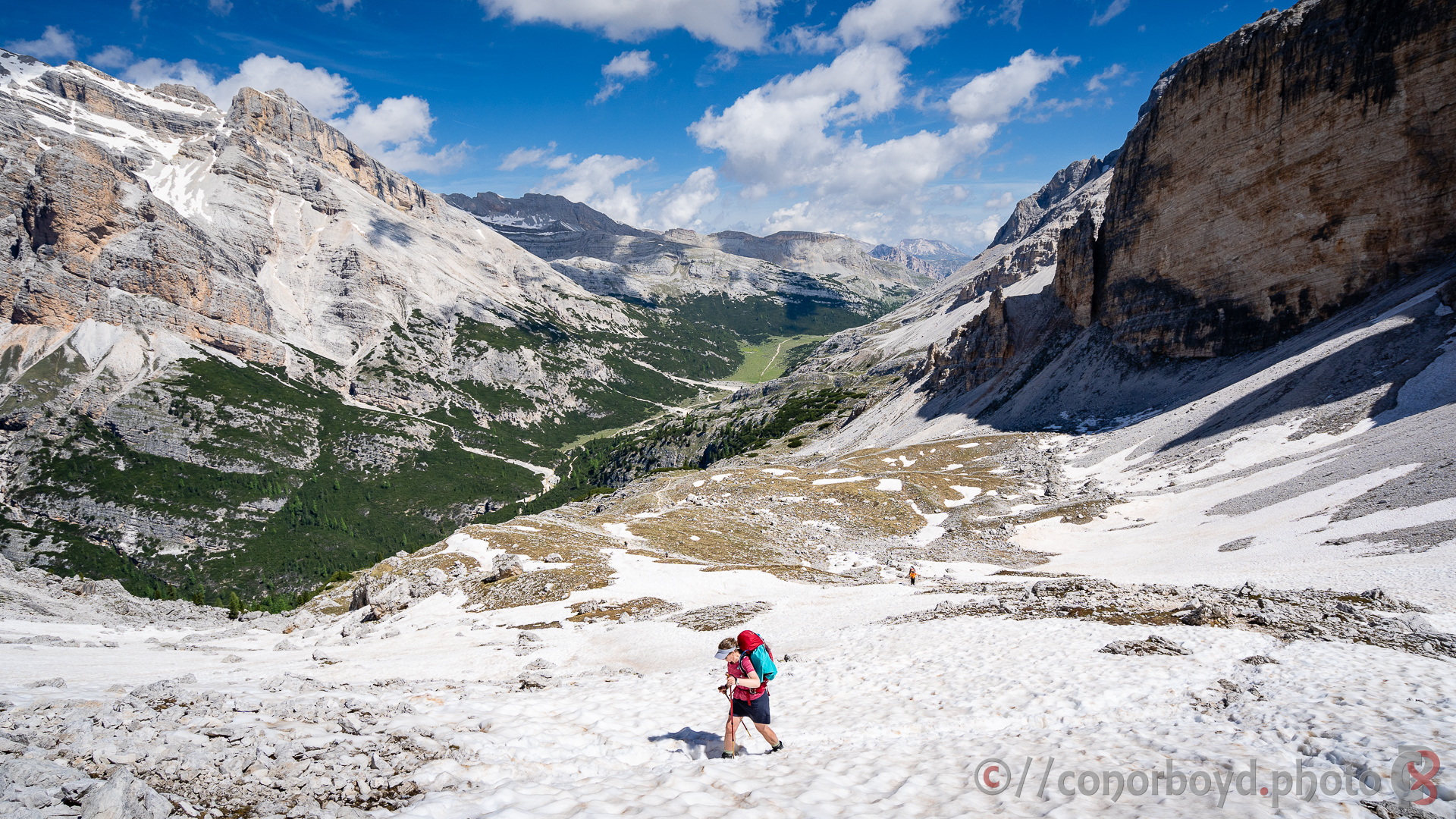
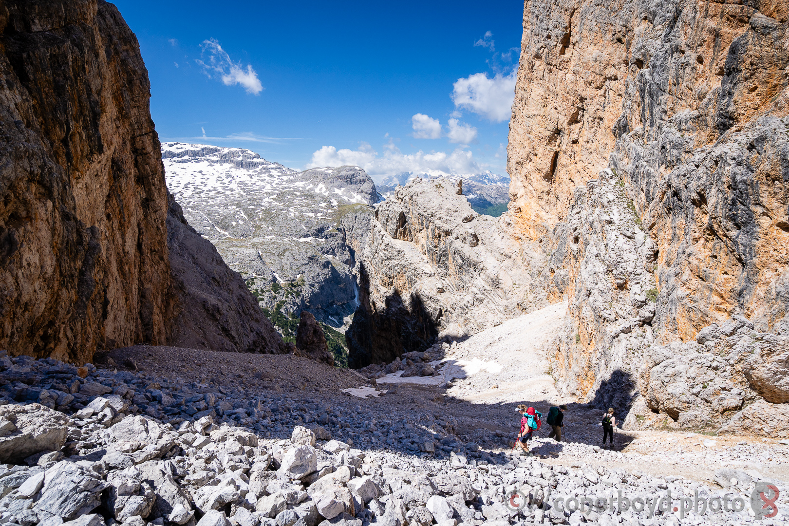
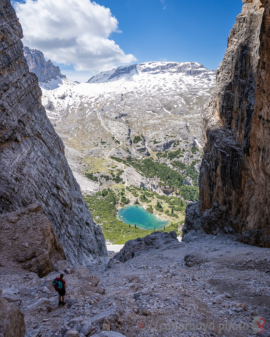
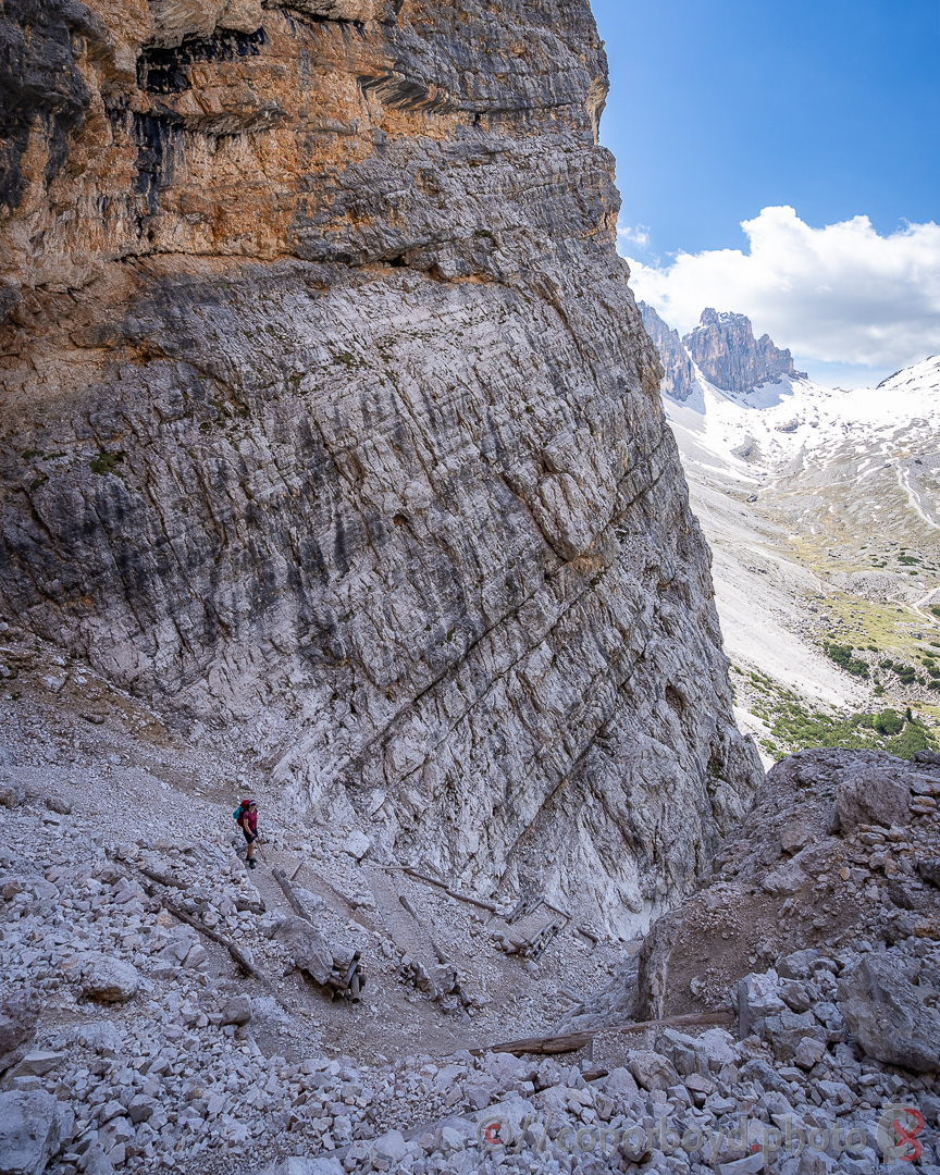
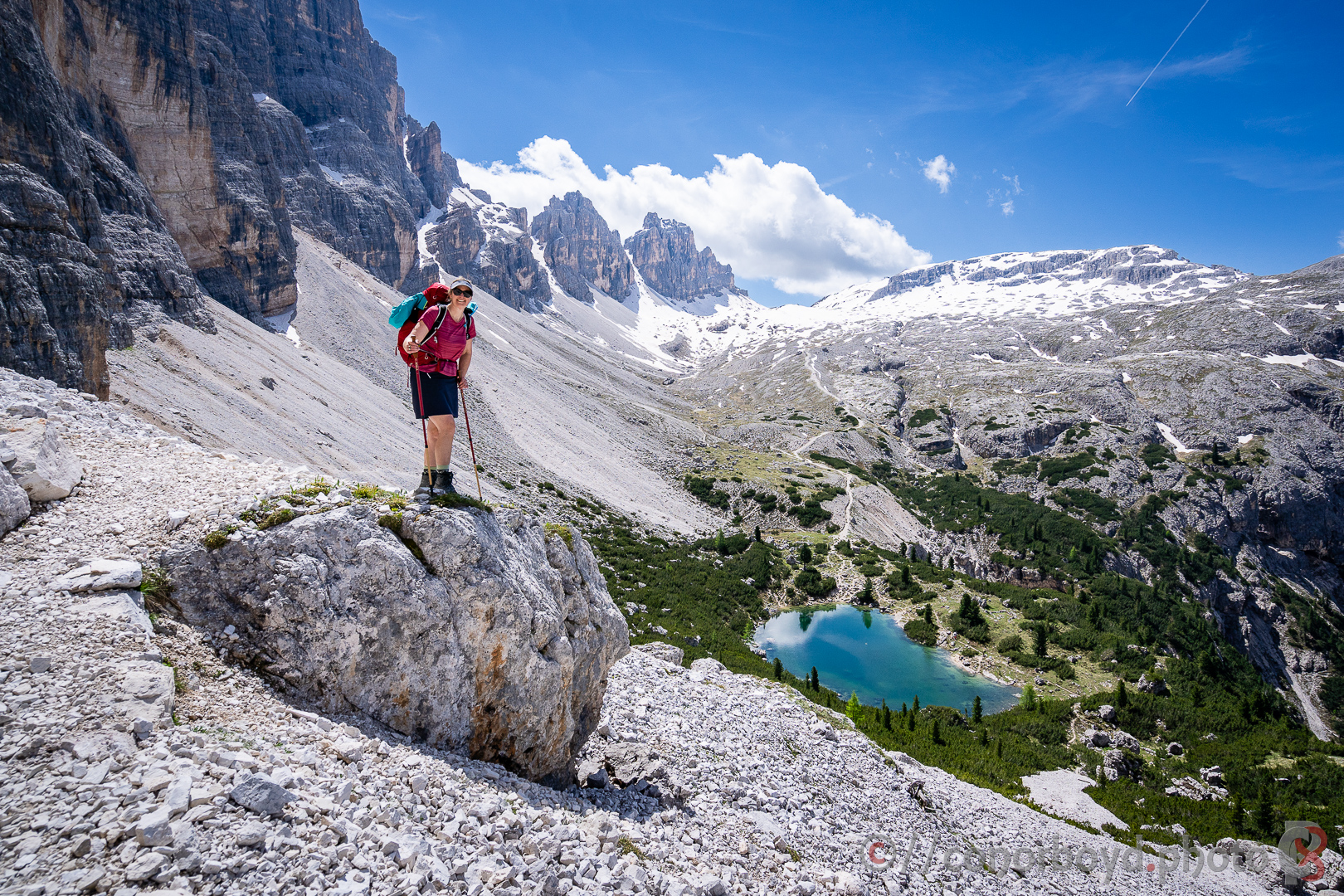
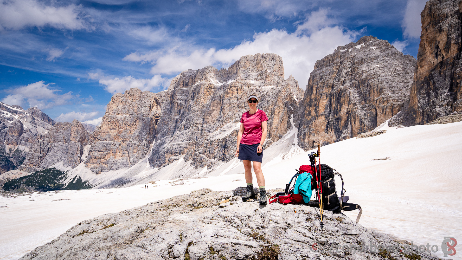
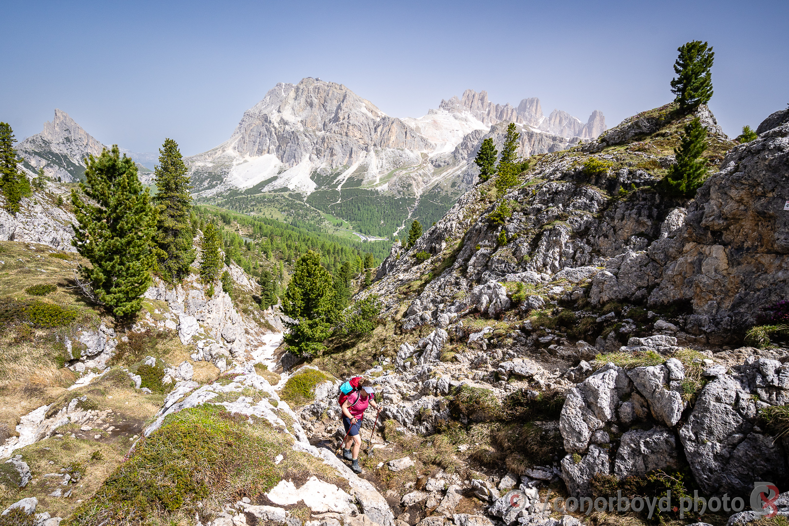
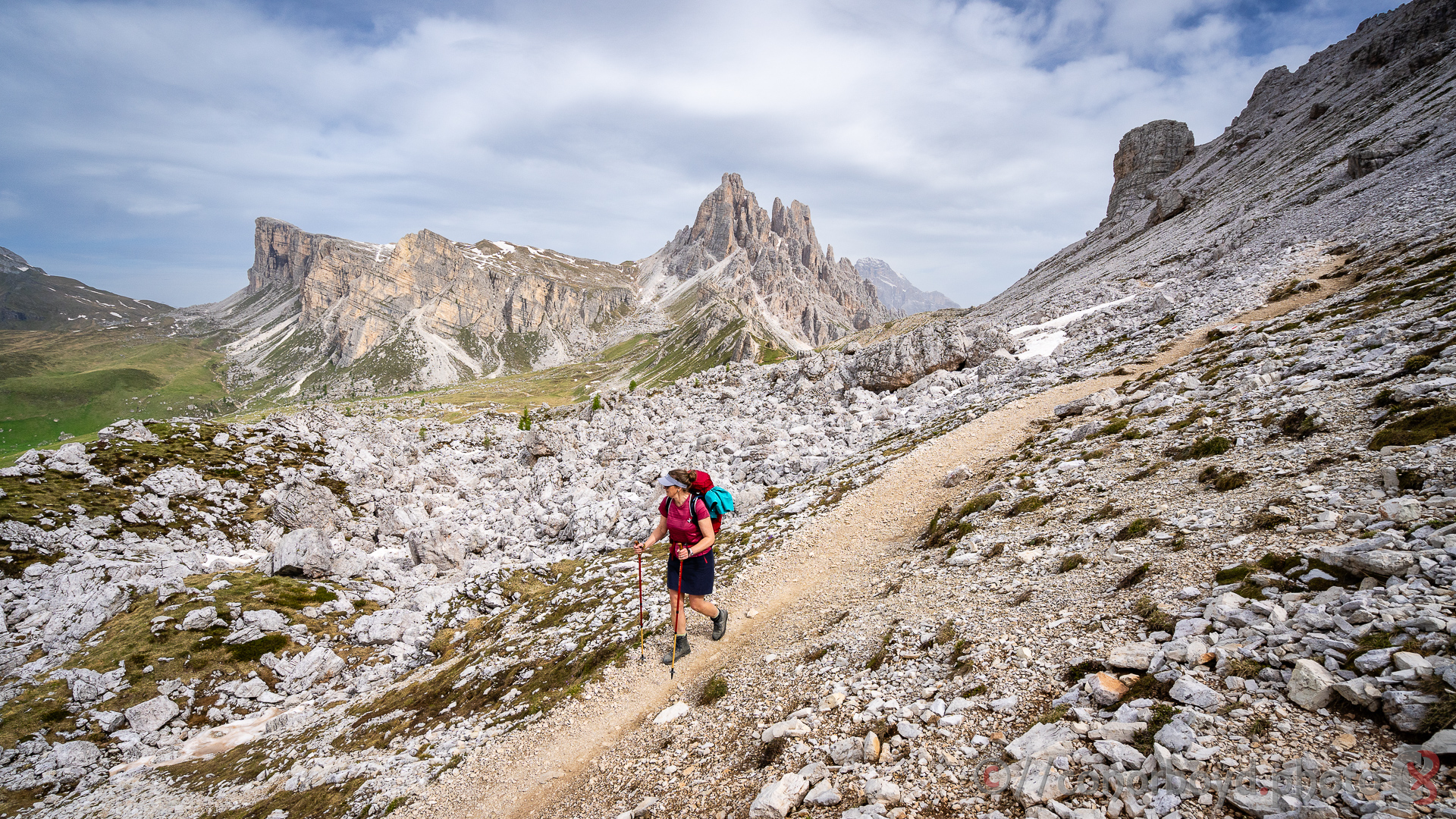
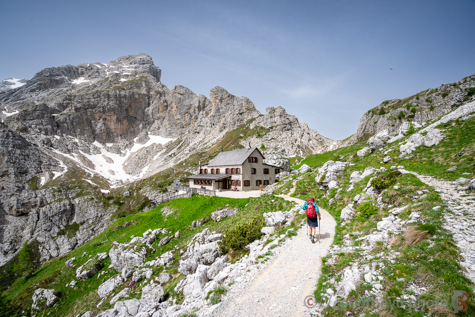
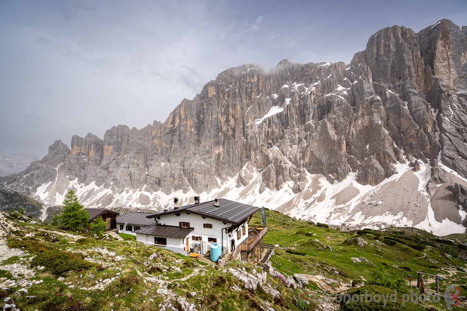
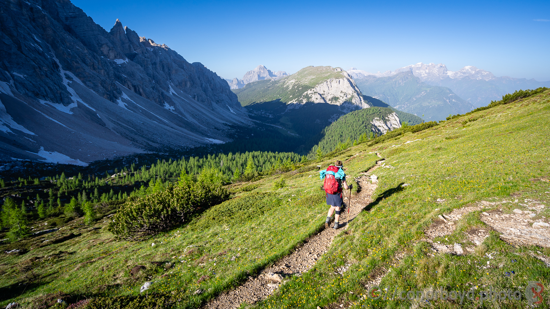
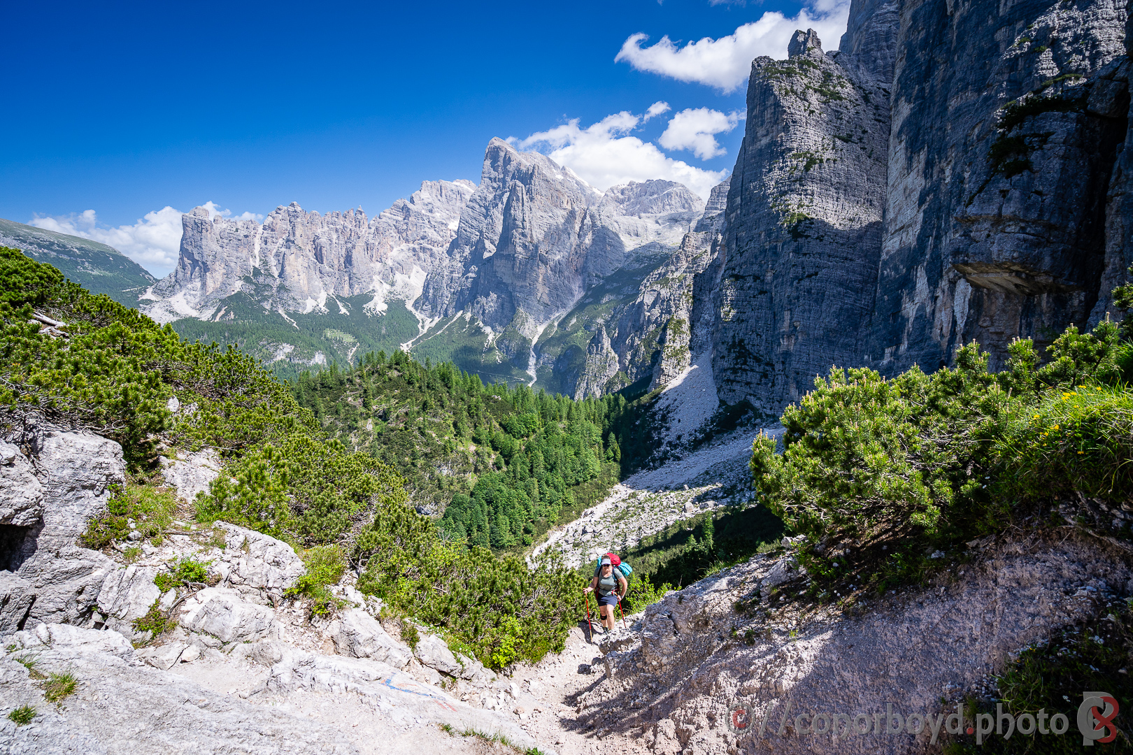
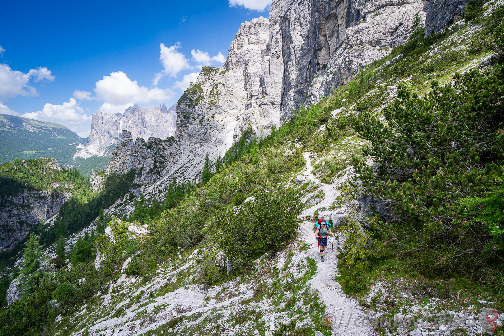
Day 3 | Fanes > Lagazuoi | 13km ↑1110m ↓430m
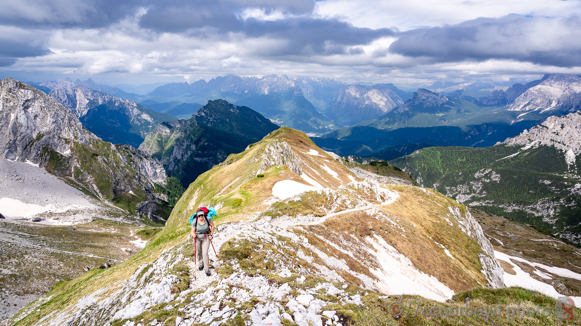
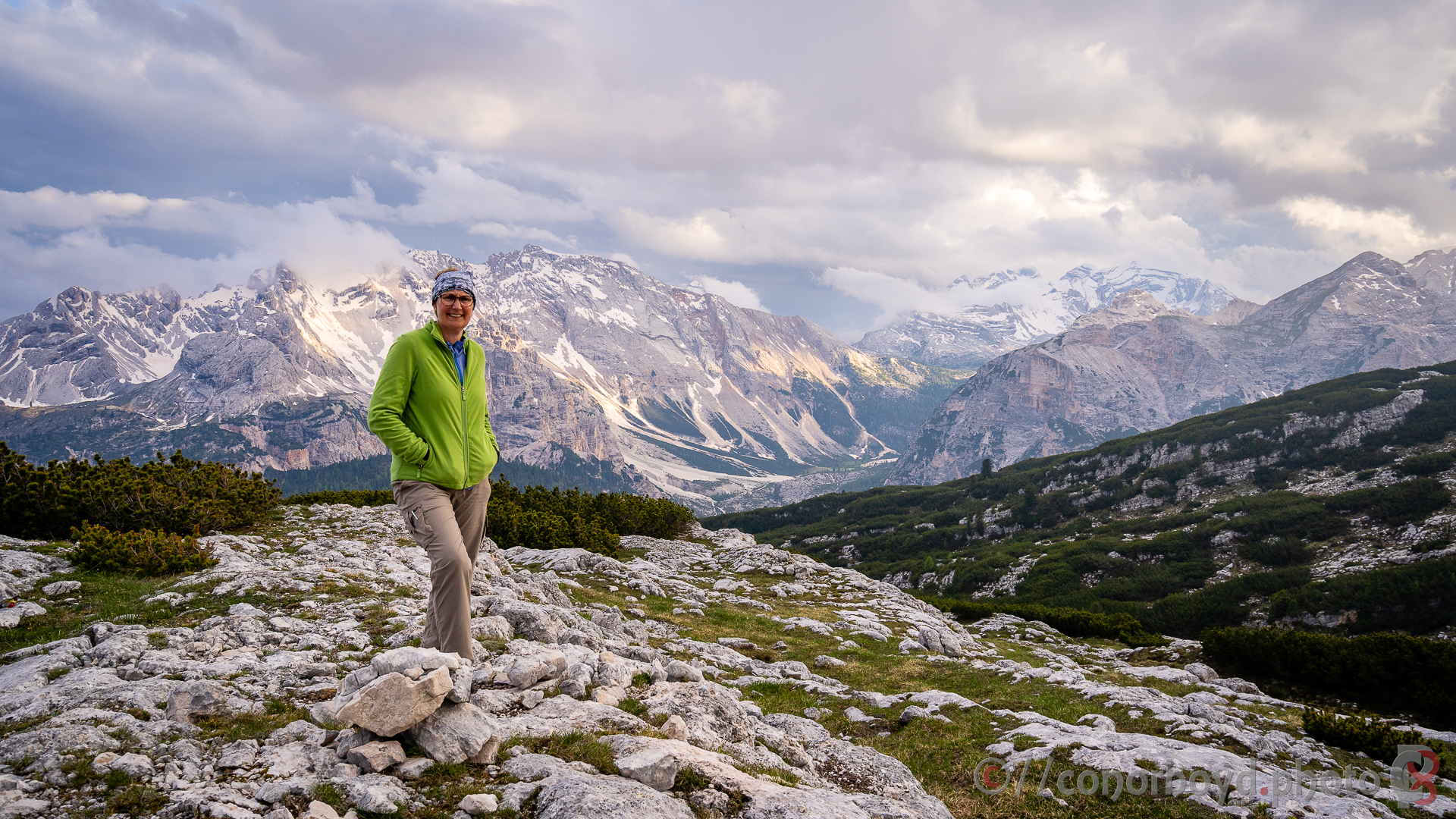
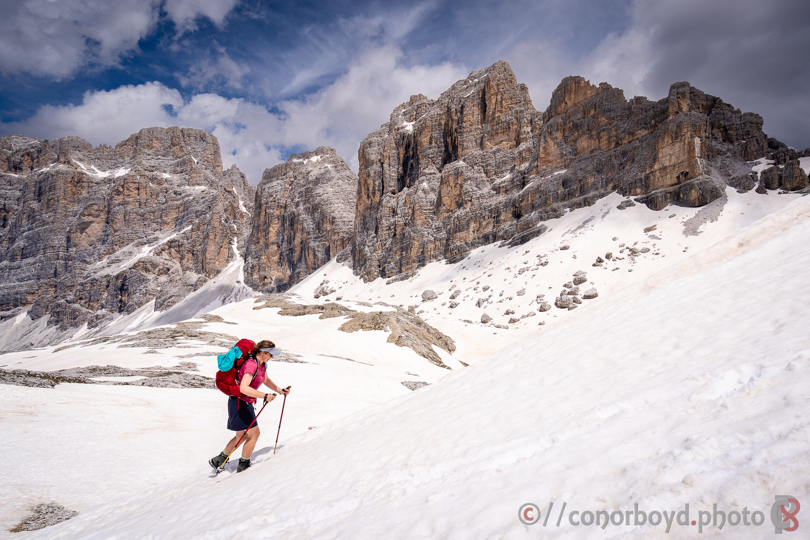
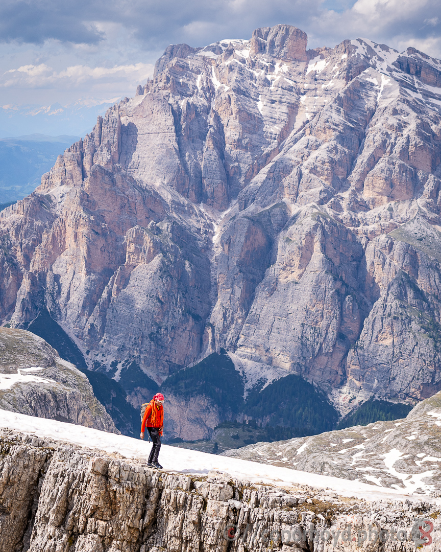
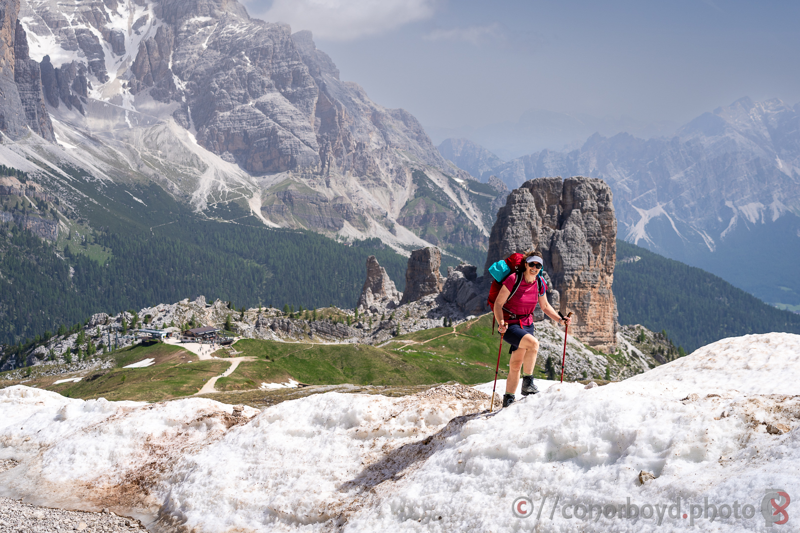
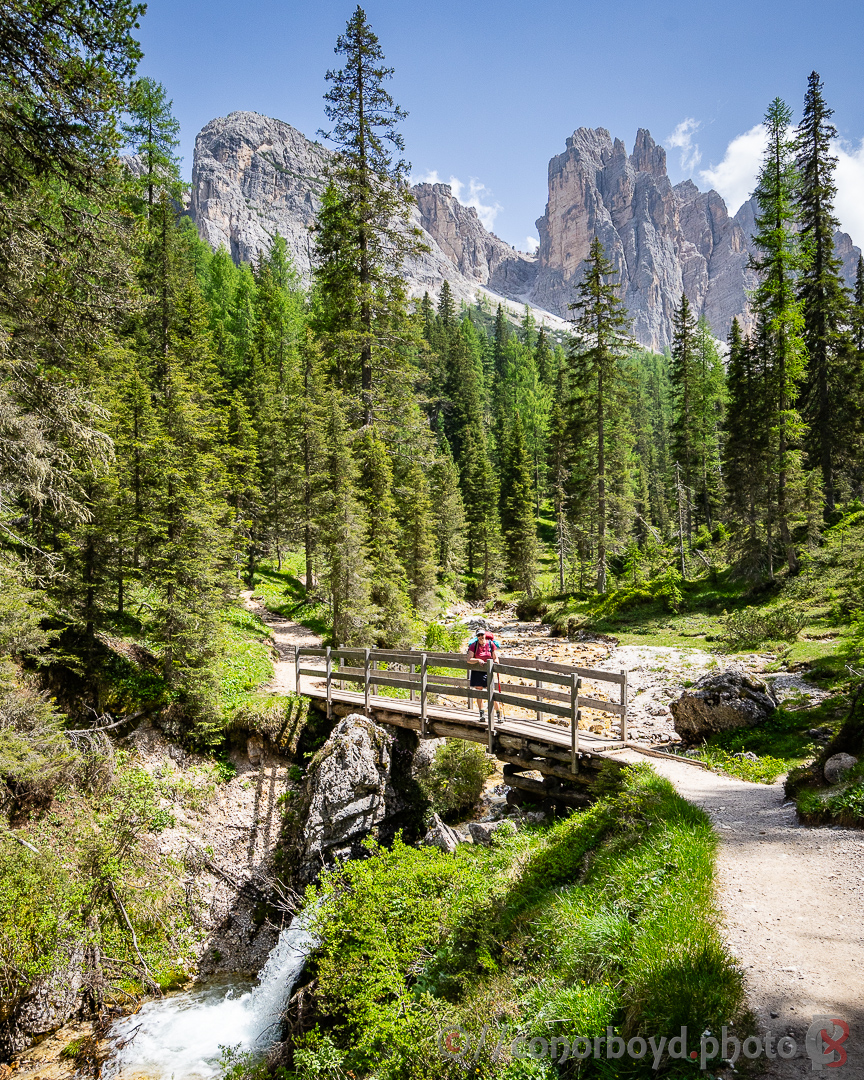
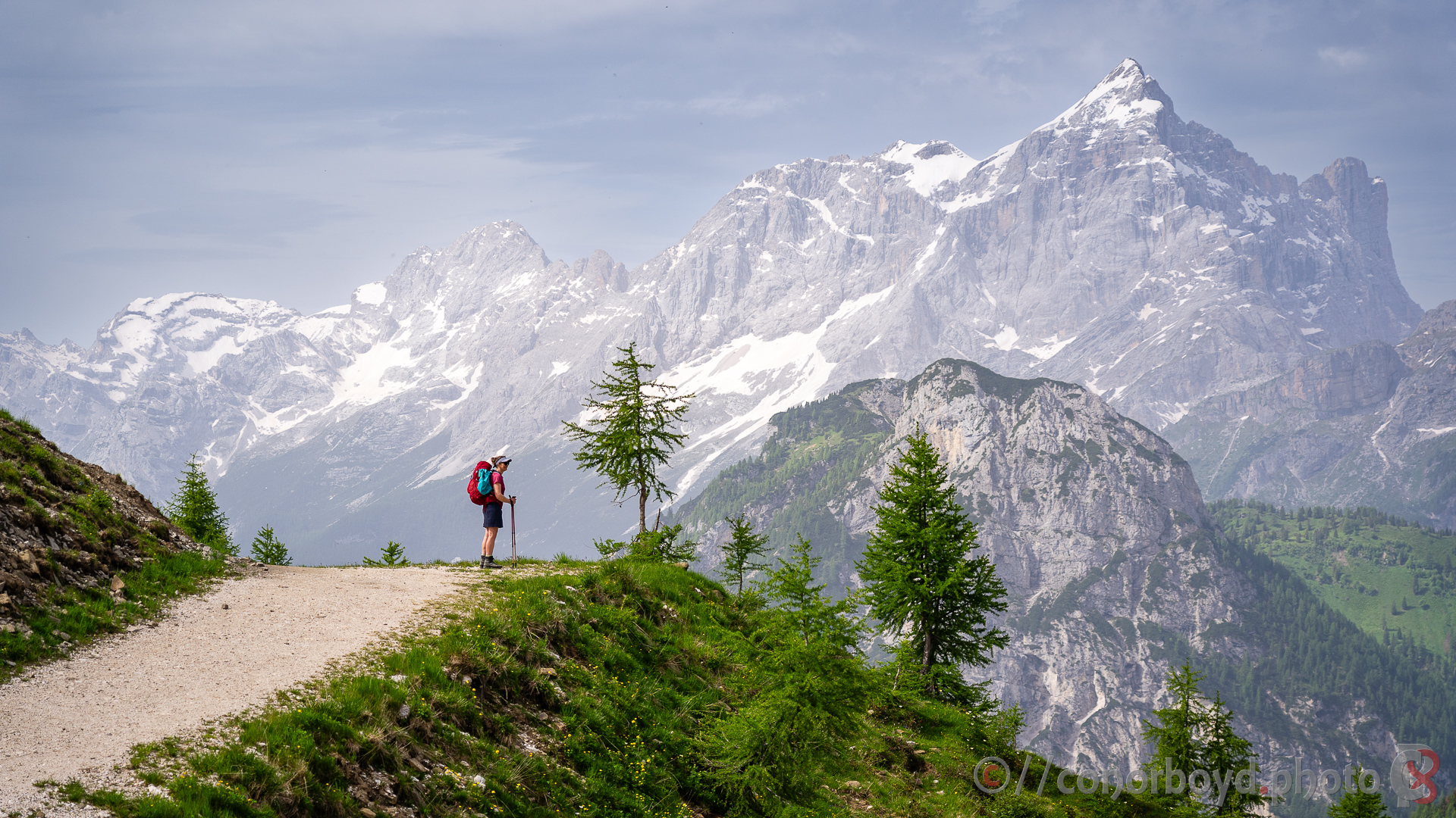
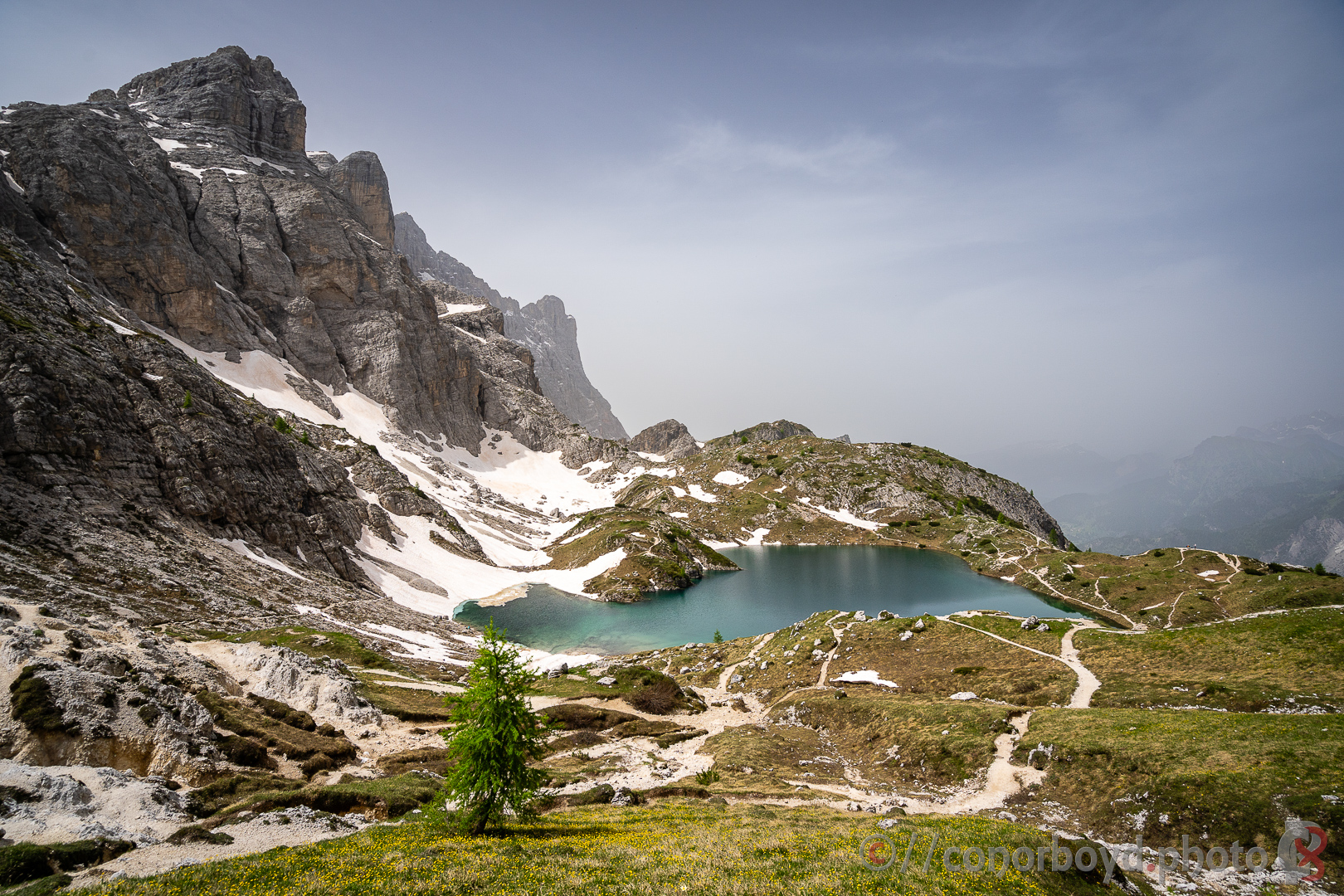
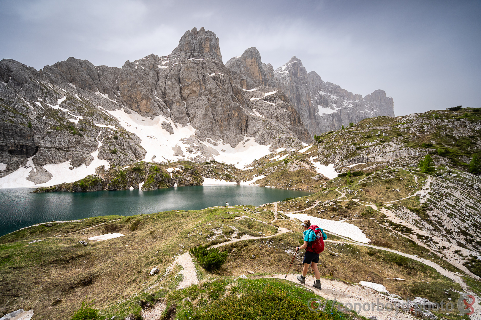
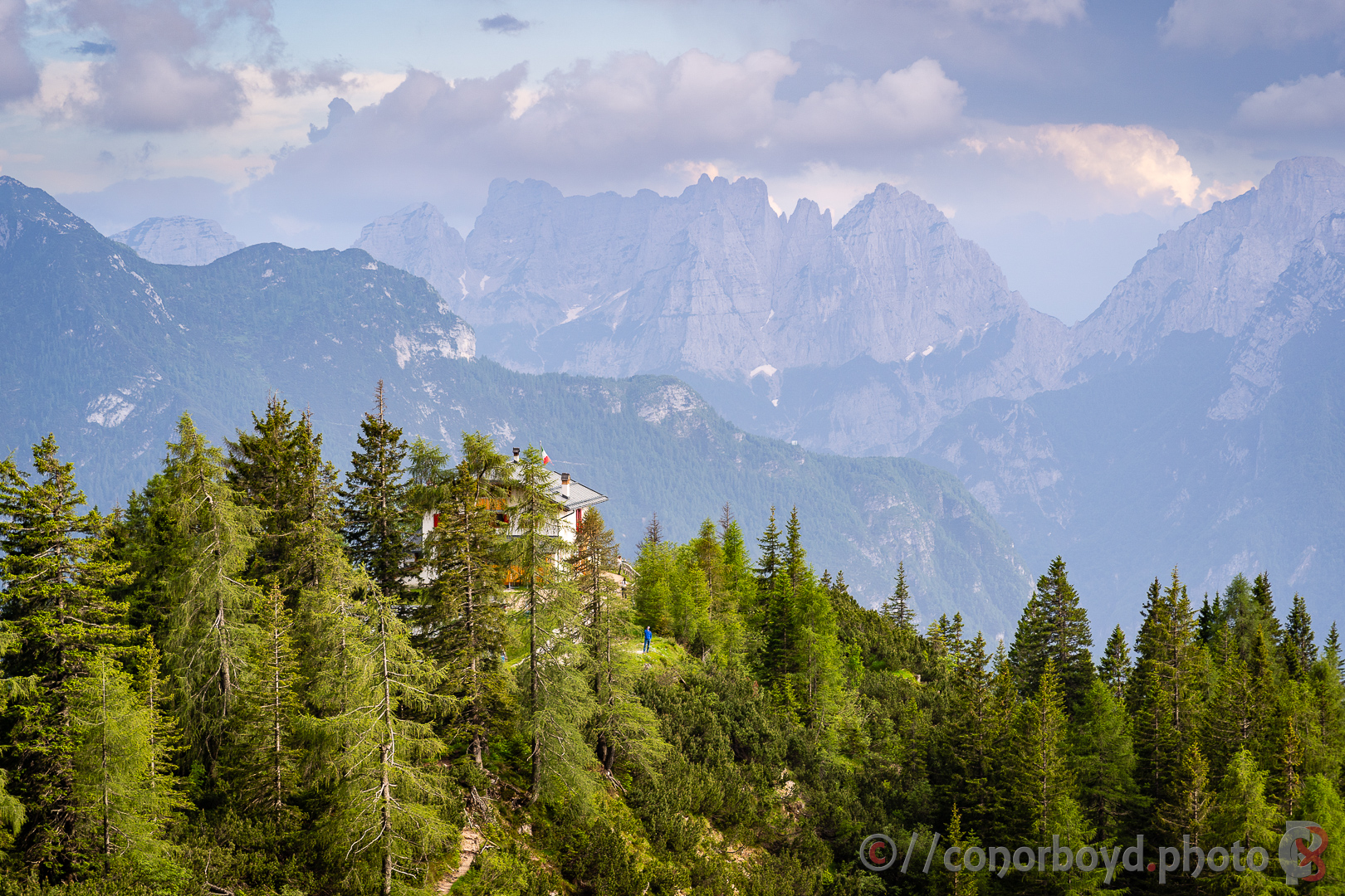
Probably the clearest bluebird day of the hike for us, which was awesome given the stunning scenery along the way ending up at the high point of Rif. Lagazuoi (2752m). We had packed micro-spikes as the climb up to both Forcella della Lêch along the way and also up to Rif. Lagazuoi were snow-covered but in the end the snow was the perfect consistency for kicking solid steps with just our boots. Lêch de Lagacio was the perfect spot for a picnic lunch spot.
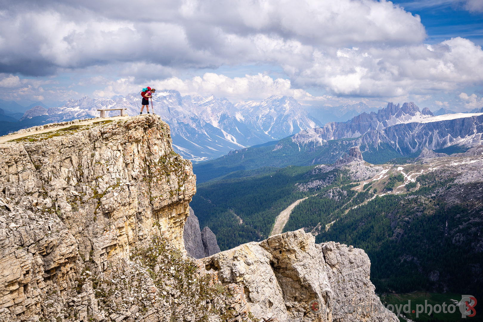
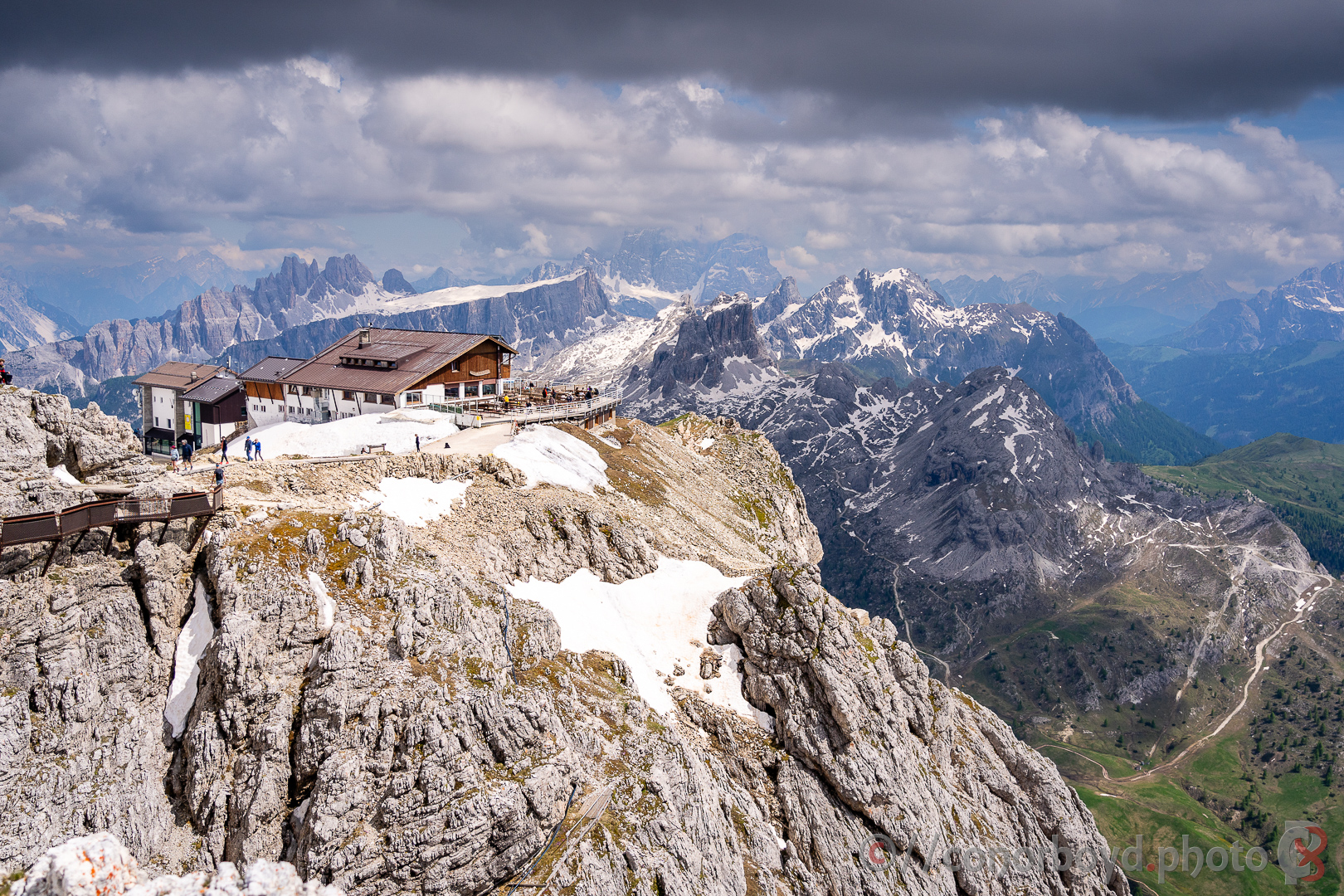
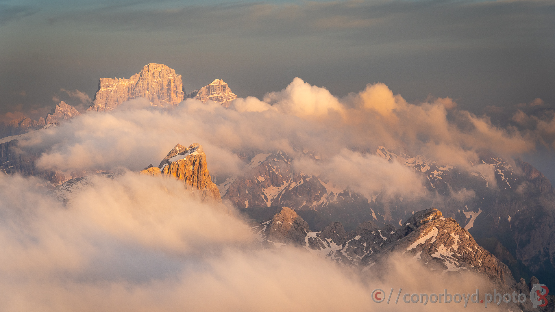
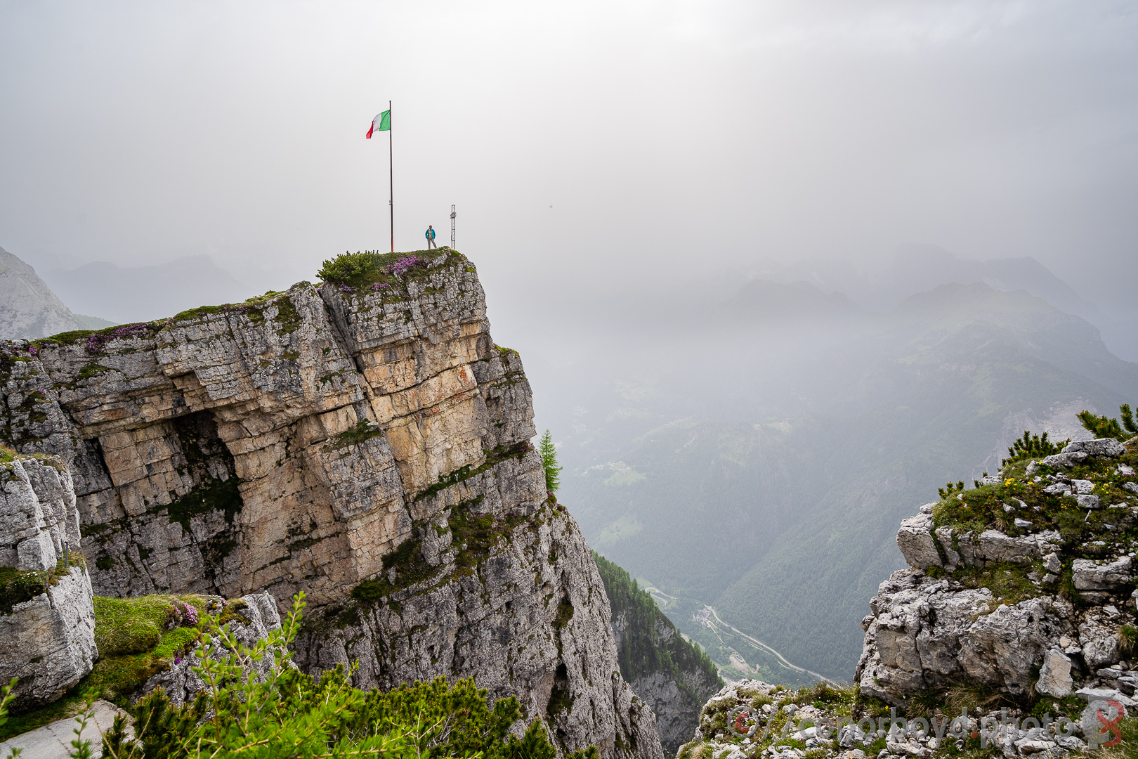
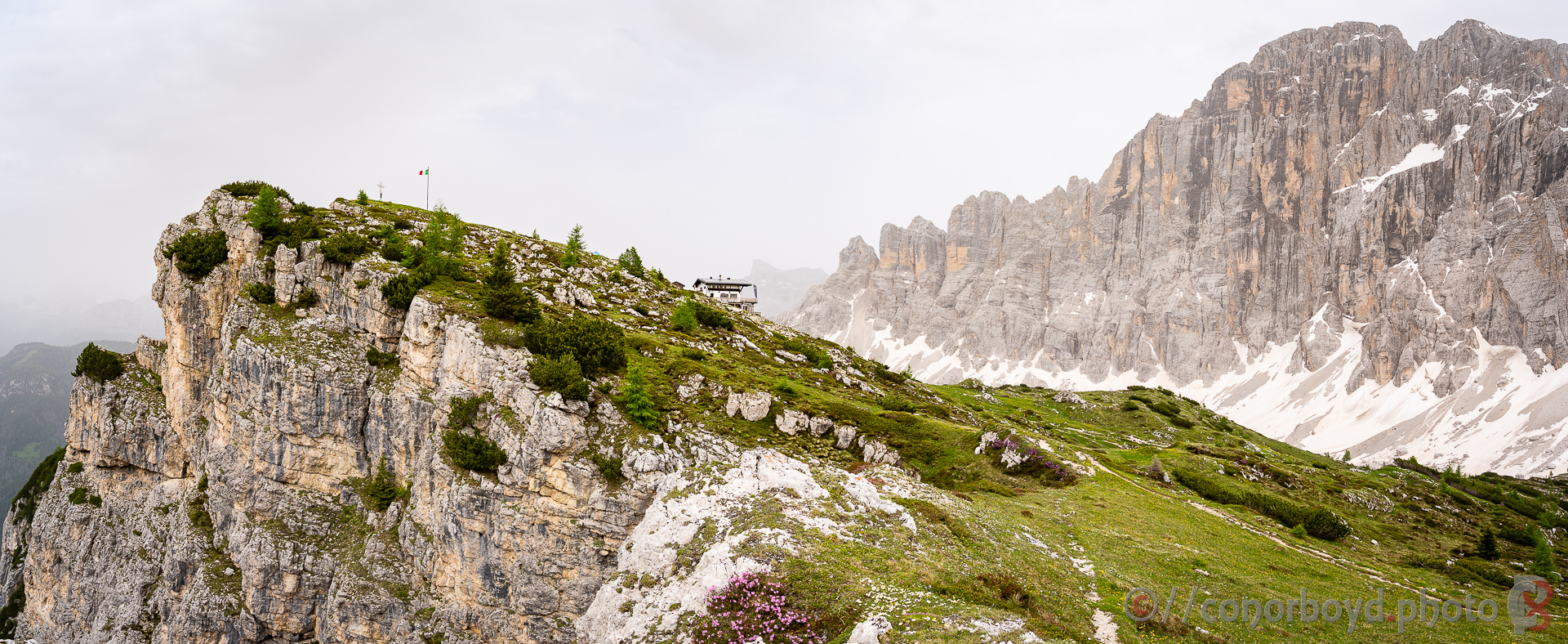
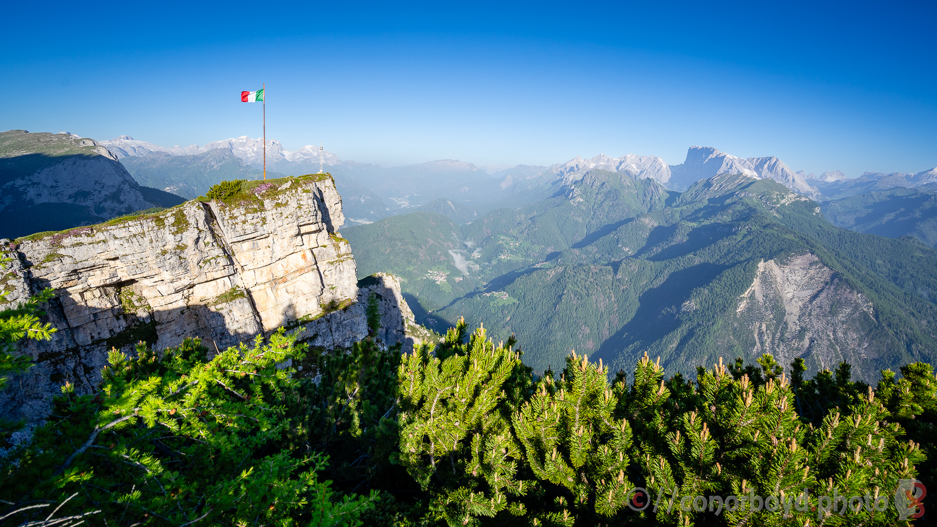
Rif. Lagazuoi itself is in a spectacular spot perched on the edge of a 600m precipice above the Passo Falzàrego from which a cablecar whisks a lot of tourists up for the view. Much quieter after they’d all left for the evening, and the sunset was the best one of the trip.
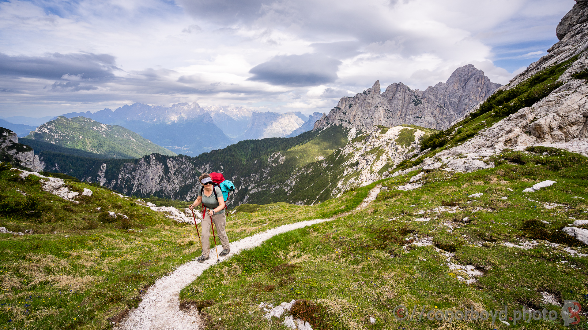
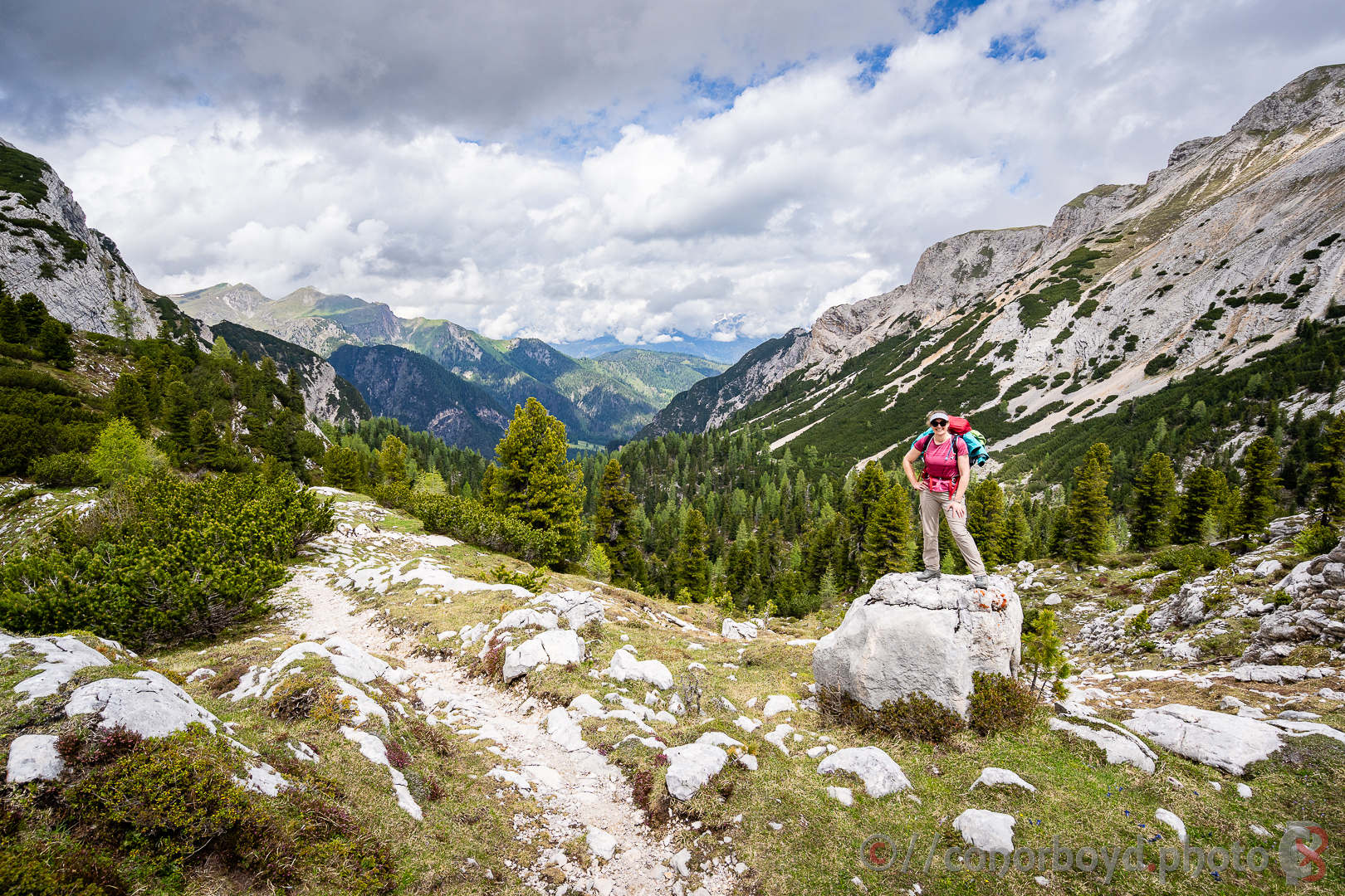
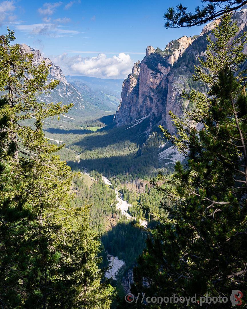
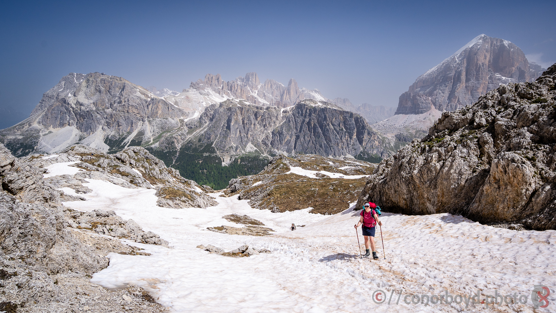
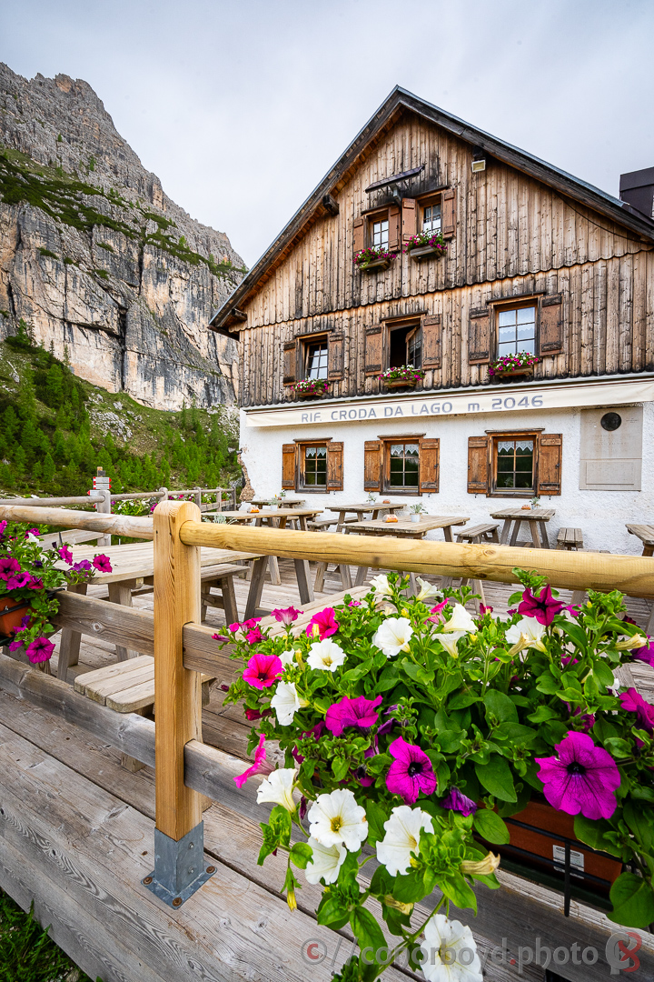
Day 4 | Lagazuoi > Croda da Lago | 17km ↑780m ↓1490m
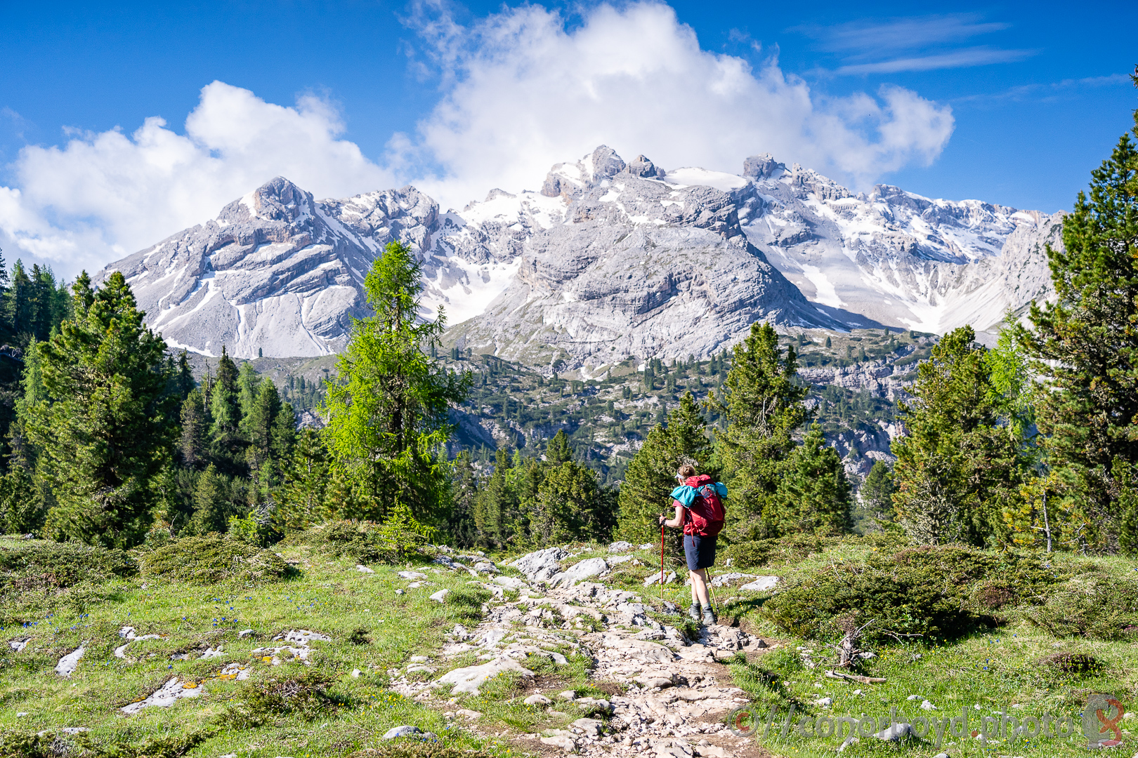
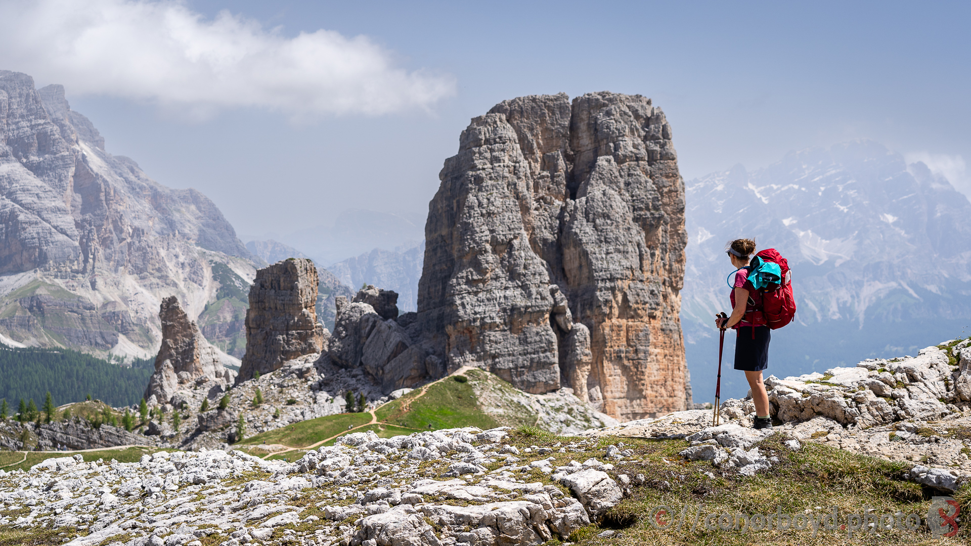
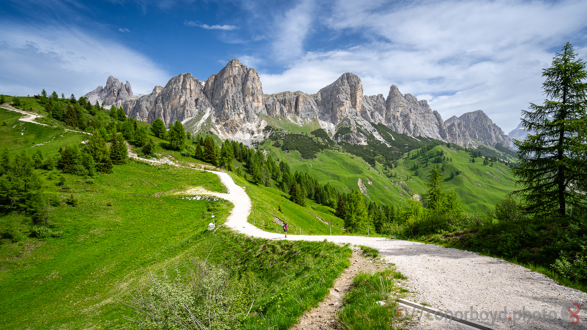
Most tiring day of the hike. 600m straight down to Passo Falzàrego and across past Lago Limedes and up through a bit more snow to Forcella Averau. We then dropped down and past another tourist hot spot of the iconic Cinque Torri (Five Towers) and through beautiful alpine meadows and forest before a hot ascent to Rif. Croda da Lago. We underestimated the heat and thus the water requirements for the day!
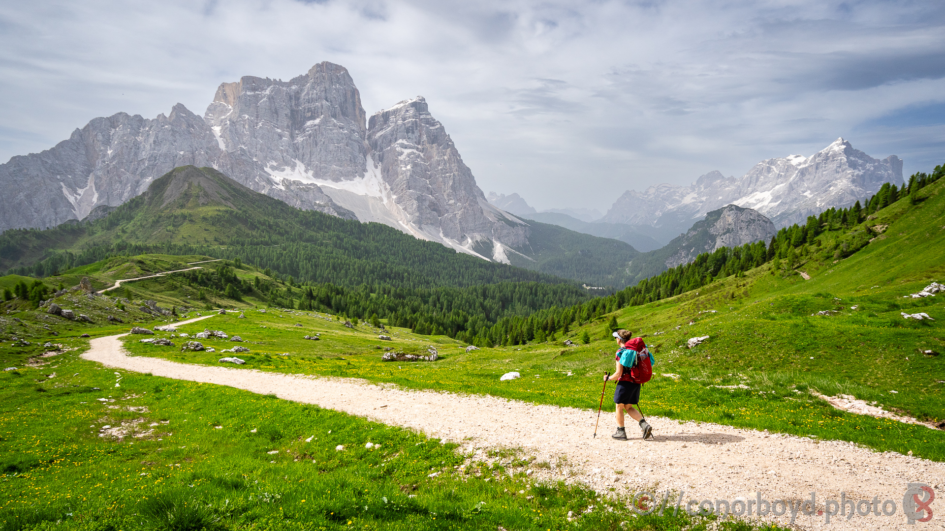
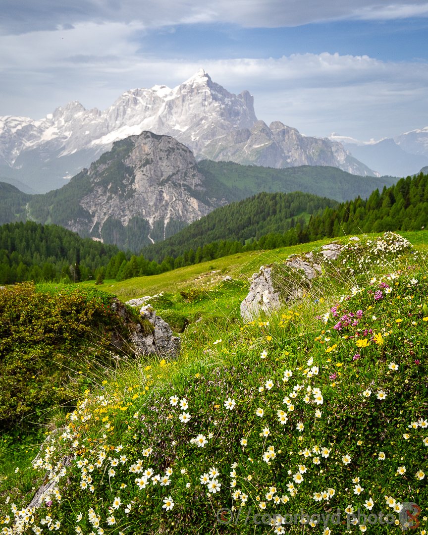
Day 5 | Croda da Lago > Staulanza | 10km ↑390m ↓650m
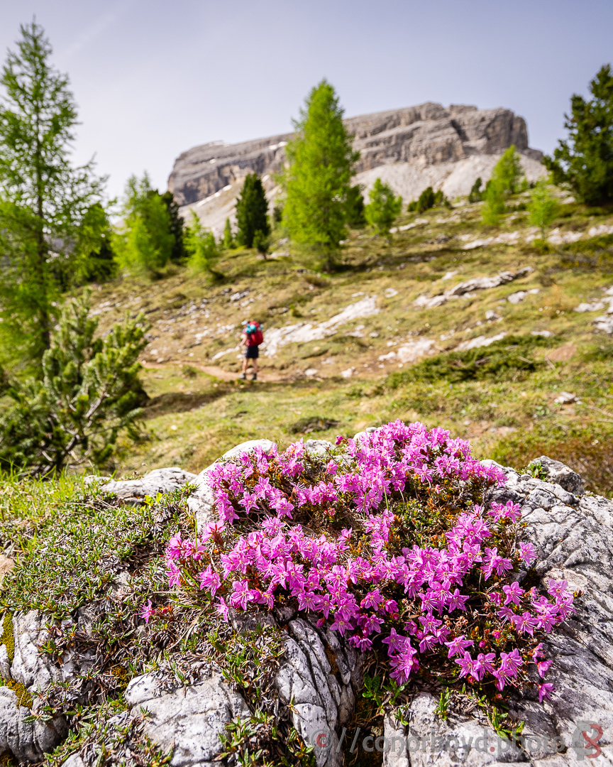
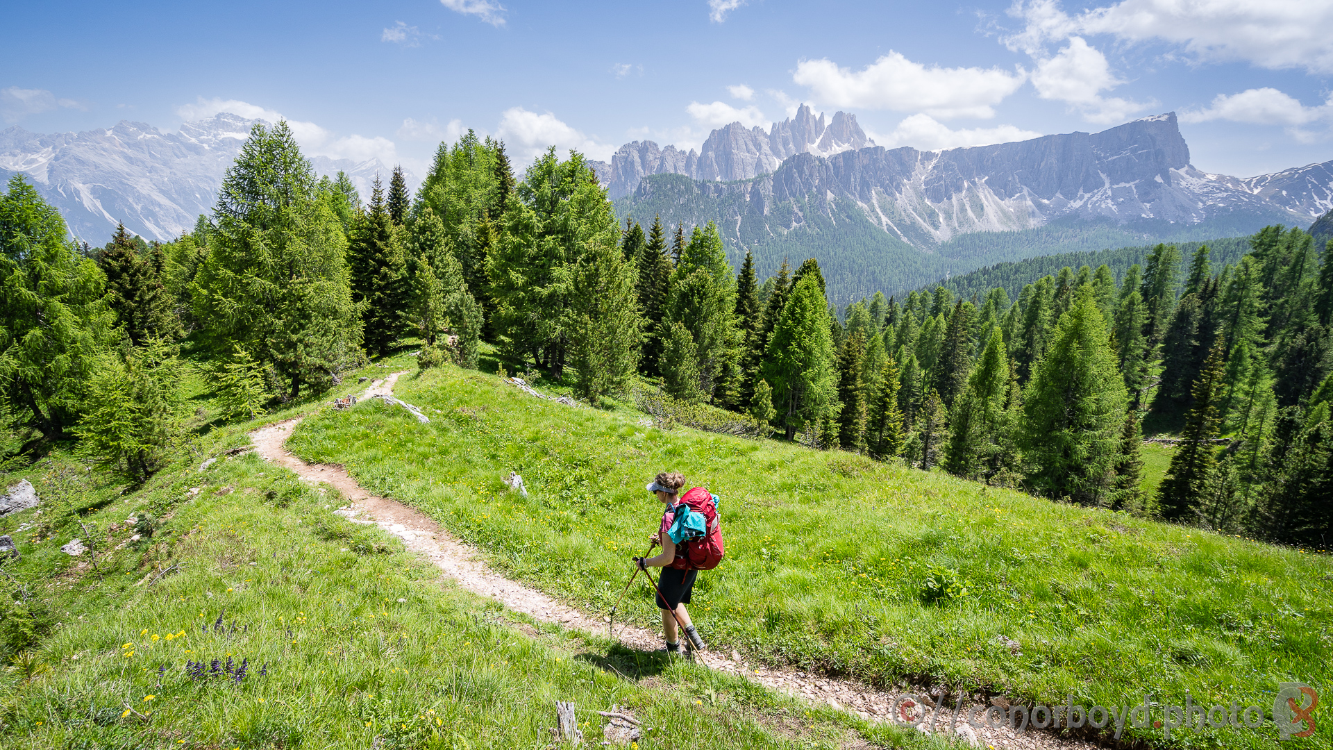
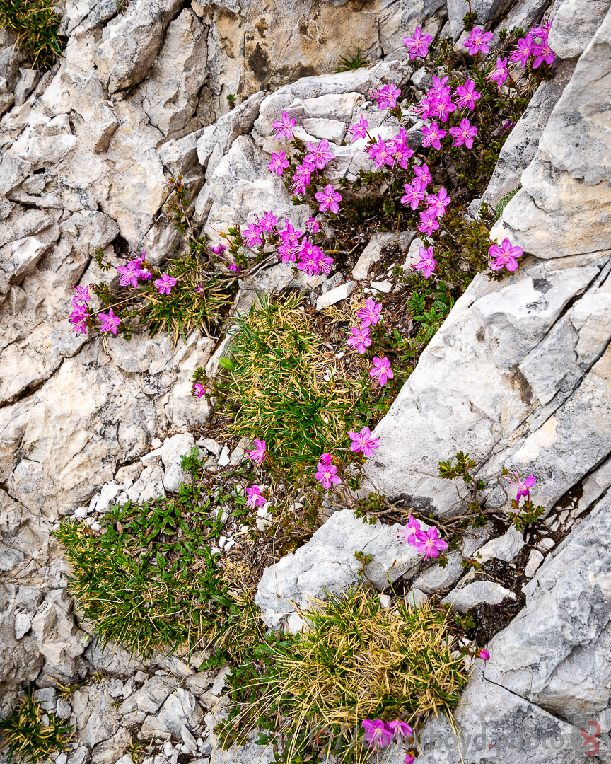
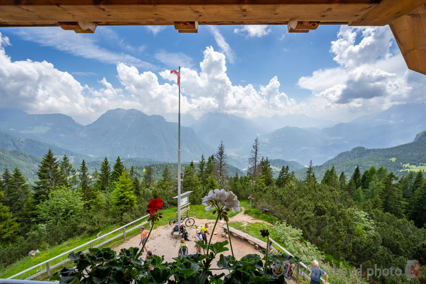
After a long and tiring day yesterday this was the shortest and gentlest day of the hike. Bit more hazy, but still spectacular views towards Mont Pelmo above our day’s destination of Rif. Staulanza (1766m). The wildflowers are really starting to come out in mid-June. We also did an extra 1.5 hour ascent of Mont Crot behind Staulanza to grab a geocache before an afternoon rain storm arrived.
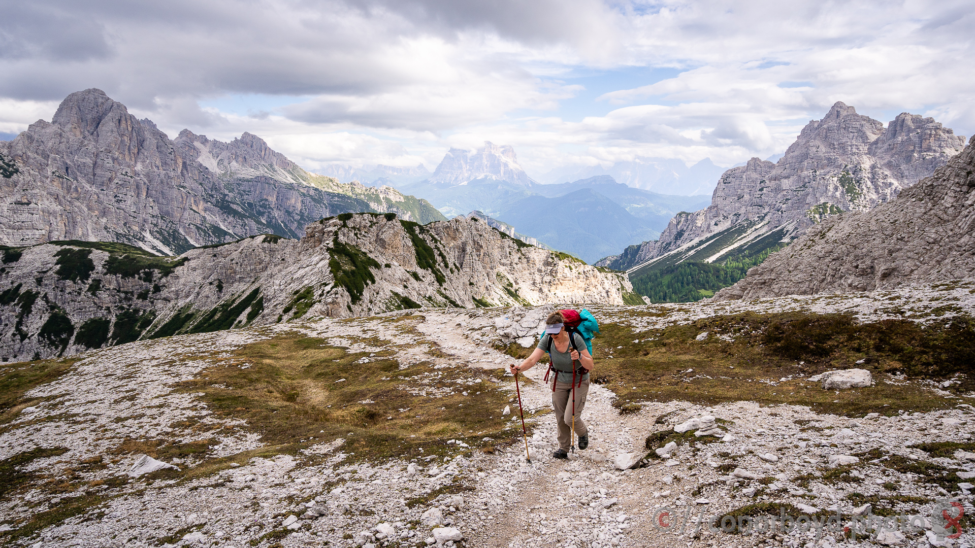
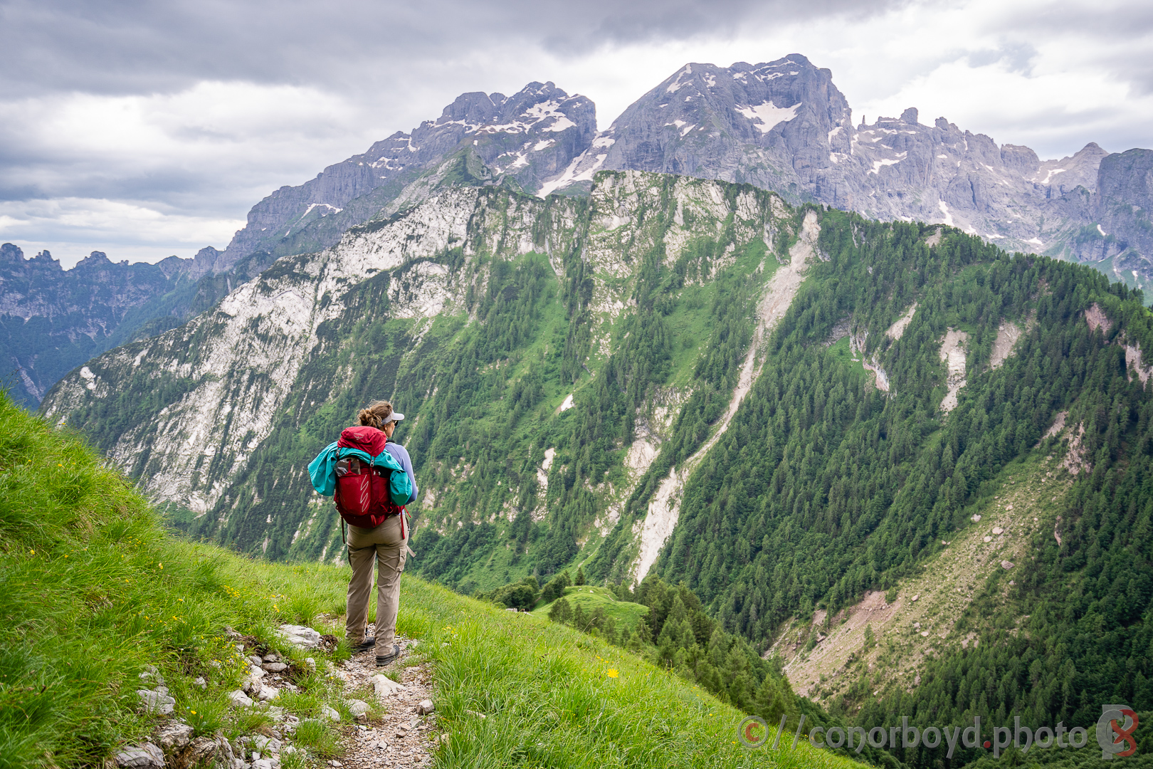
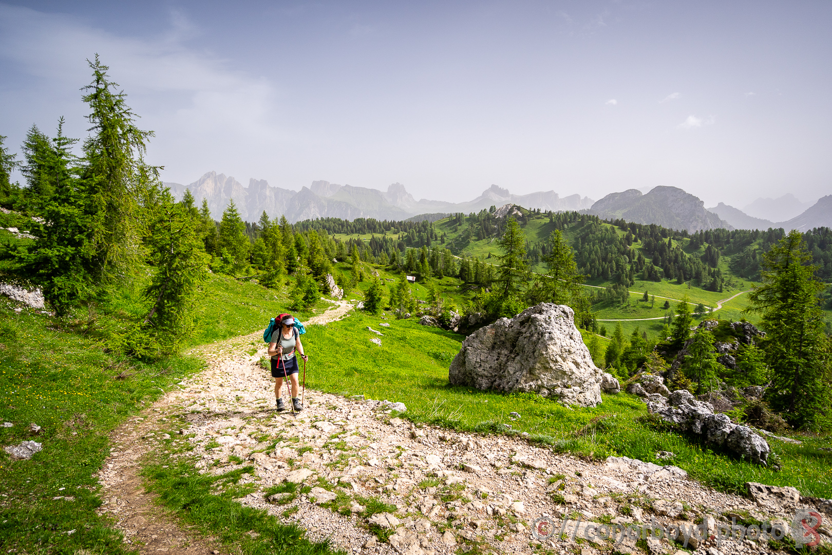
Day 6 | Staulanza > Tissi | 11km ↑970m ↓480m
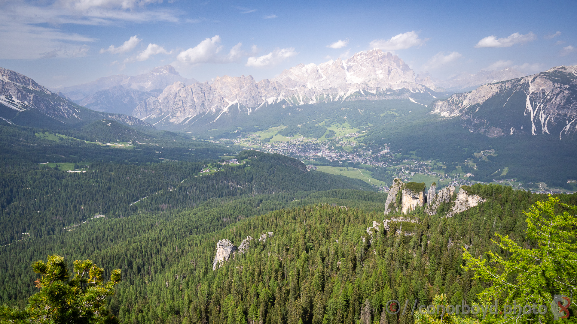
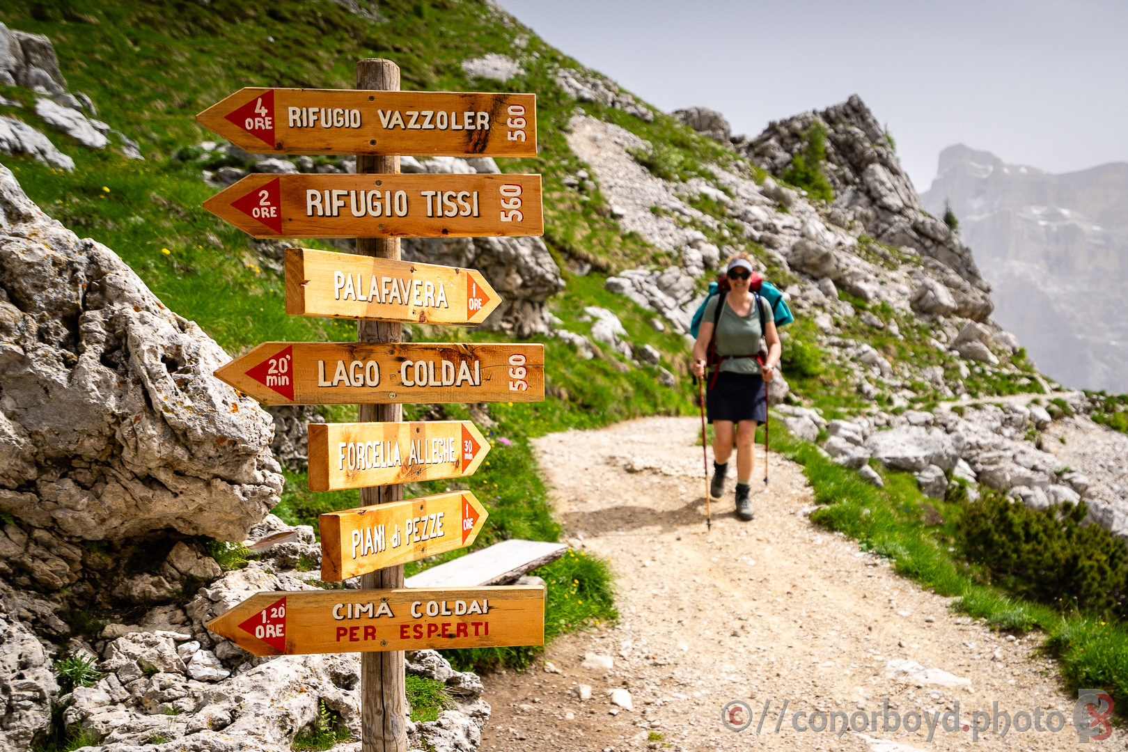
Hot ascent up to Rif. Coldai (2132m) for refreshments before up and over to Lago Coldai (complete with icebergs and swimmers!) and on south alongside the 1000m high west walls of the Civetta Massif to Rif. Tissi (2250m). Most of the huts around this massif are owned by the CAI. Tissi is set maybe 100m back from the edge of a cliff with a 1300m drop to the valley below – very different from hut locations in earthquake-prone NZ.
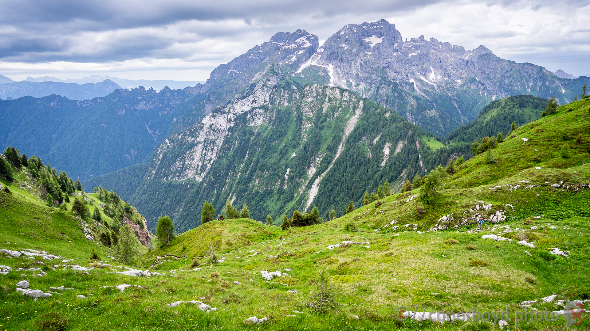
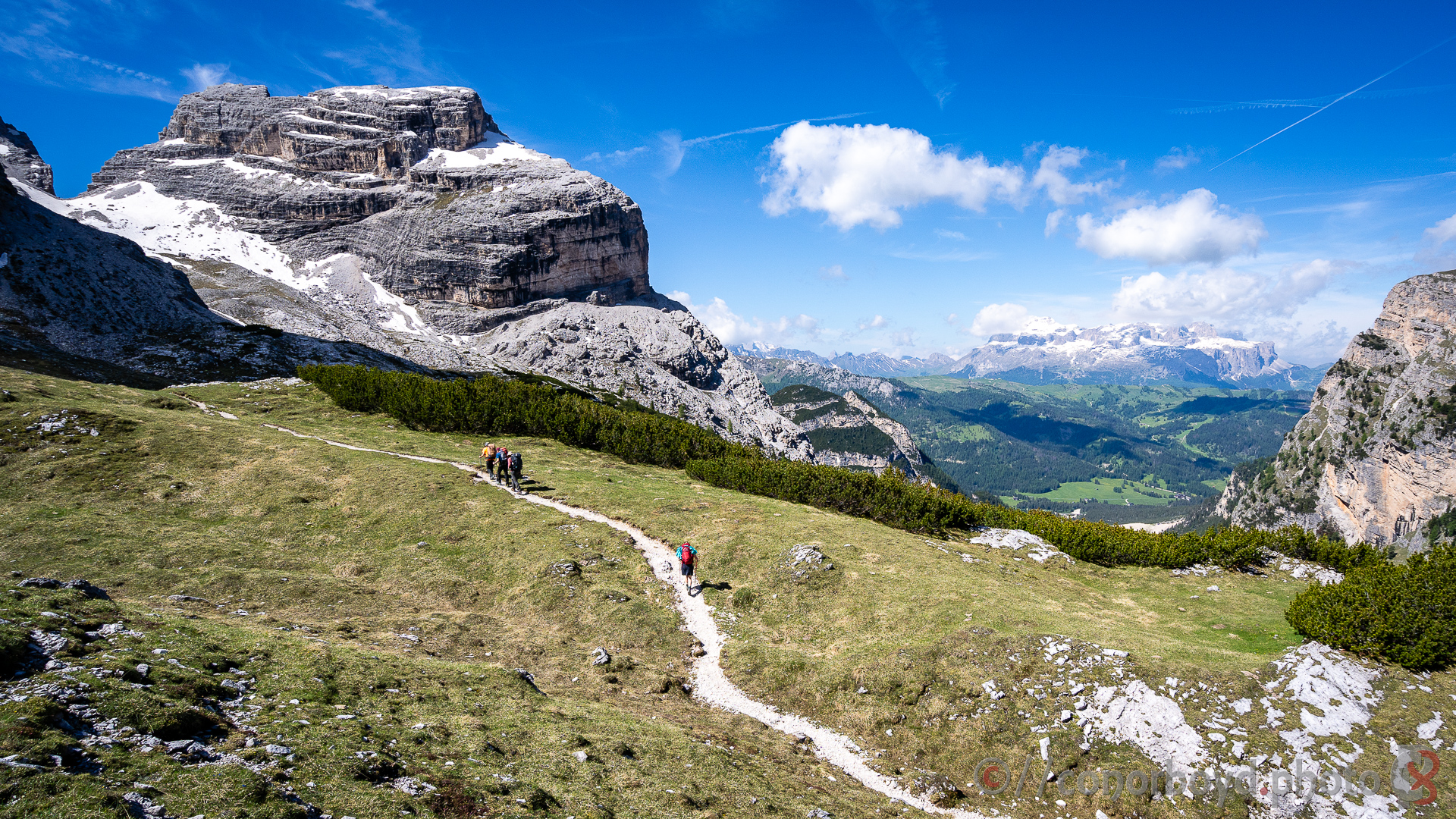
Day 7 | Tissi > Carestiato | 16km ↑750m ↓1160m
Fantastic morning views from the cliffs of Tissi west towards the Marmolada group and beyond to the Sella & Sassolungo groups from our previous week in Val Gardena, and back north to where we’ve come from at Lagazuoi.
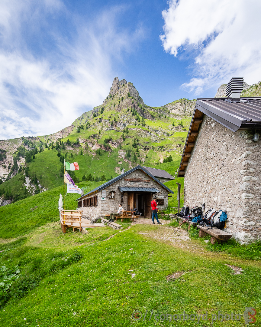
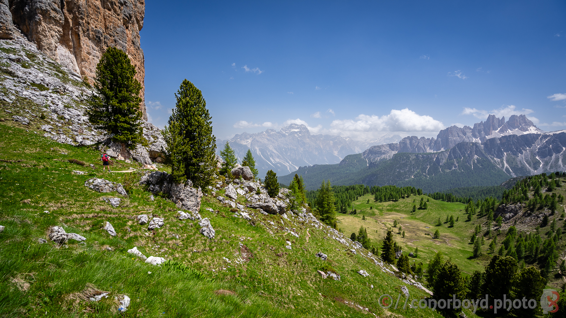
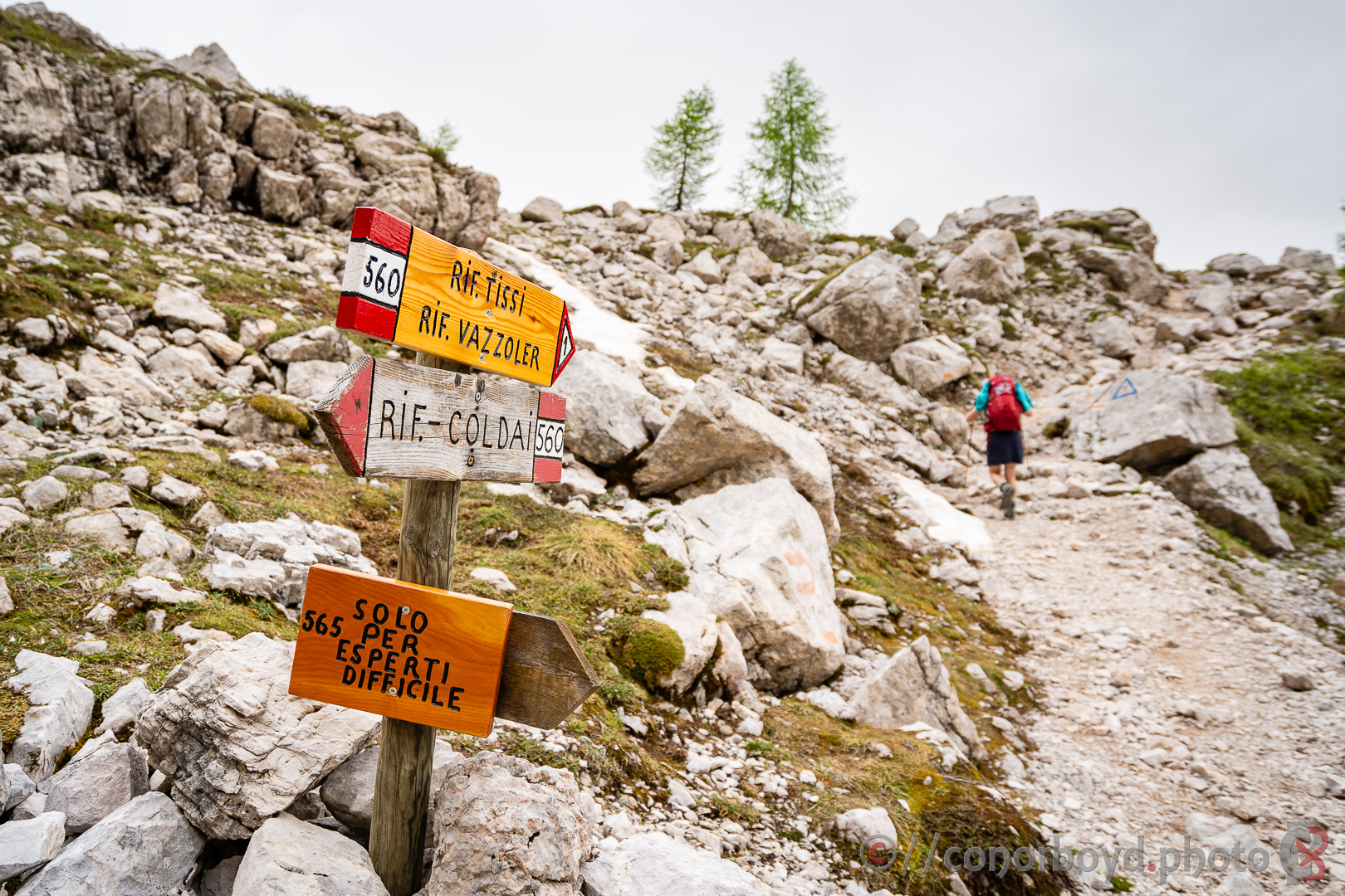
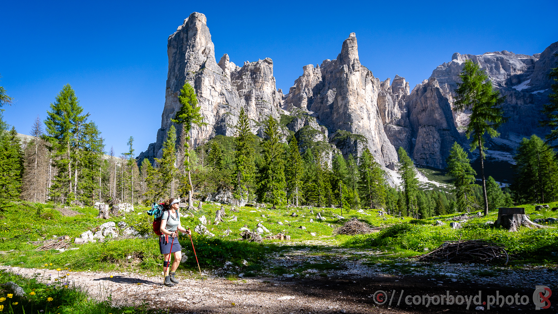
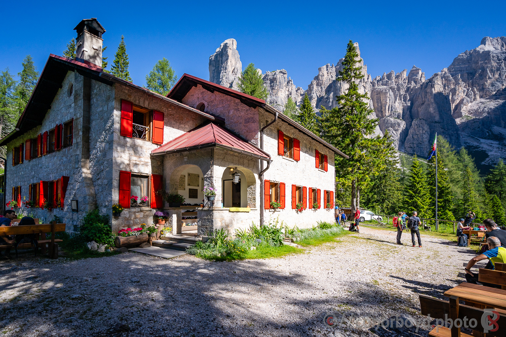
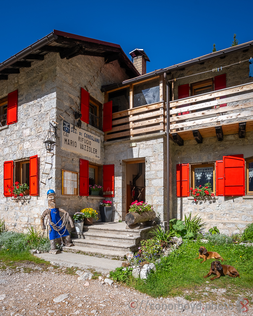
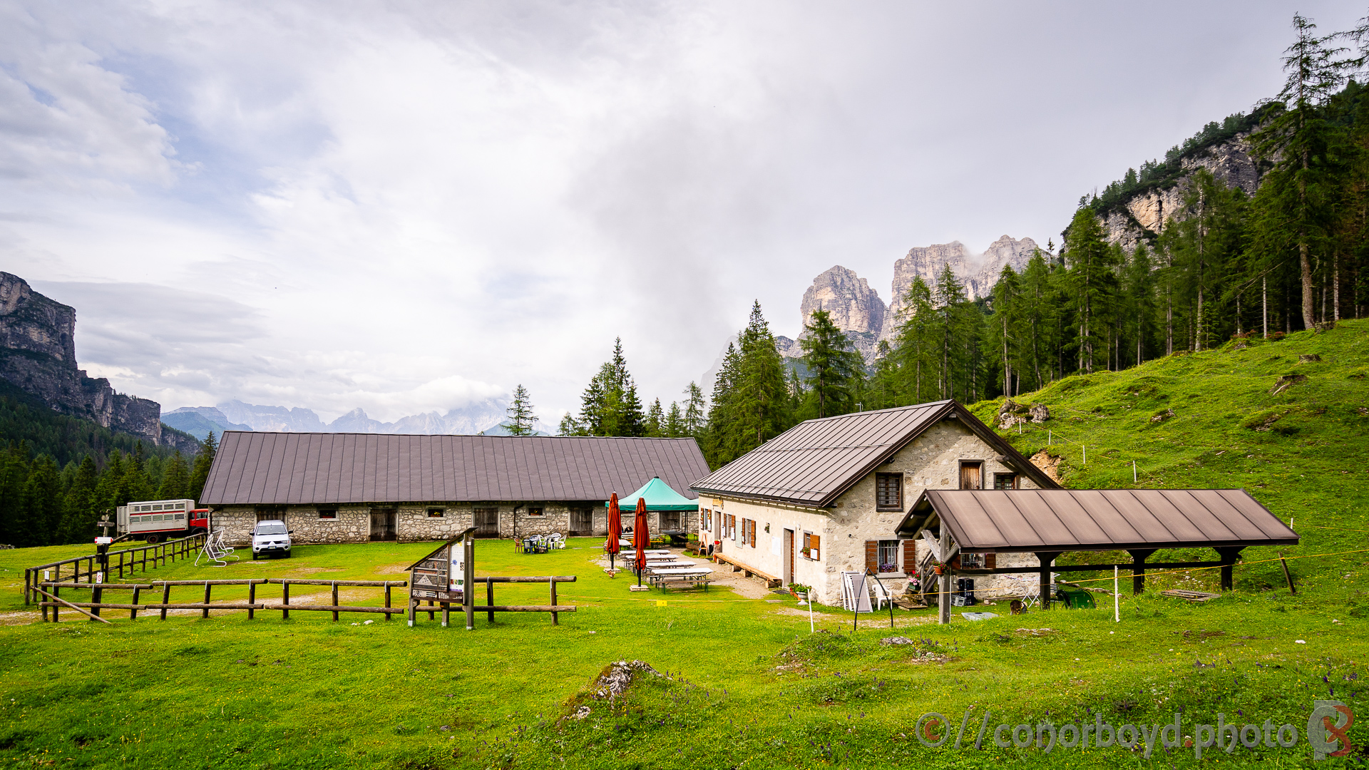
The hike round the southern end of the Civetta group past Torri Venezia, Rif. Vazzoler (1714m) etc and on along some reasonably exposed bits of track to Rif. Bruto Carestiato (1834m) was spectacular. Definitely outnumbered by CAI alpinists in Rif. Carestiato and we could understand why – a mountain playground round here including plenty of via ferrata.
Day 8 | Carestiato > Malga Pramper | 15km ↑660m ↓950m
The penultimate day of our hike was the dampest (not that damp really; we were lucky to only have our rain jackets on for about 30mins over the whole 9 days).
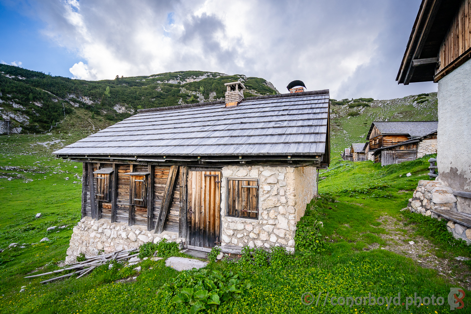
Our destination for the evening was Malga Pramper (1540m), a traditional farmlet, where the National Park is encouraging the retention of historic farming practice by providing (very comfortably refurbished) accommodation to hikers. It was obvious where the butter for our breakfast came from after having enjoyed the sound of the cowbells as the 30 or so cows came in for milking the previous afternoon.
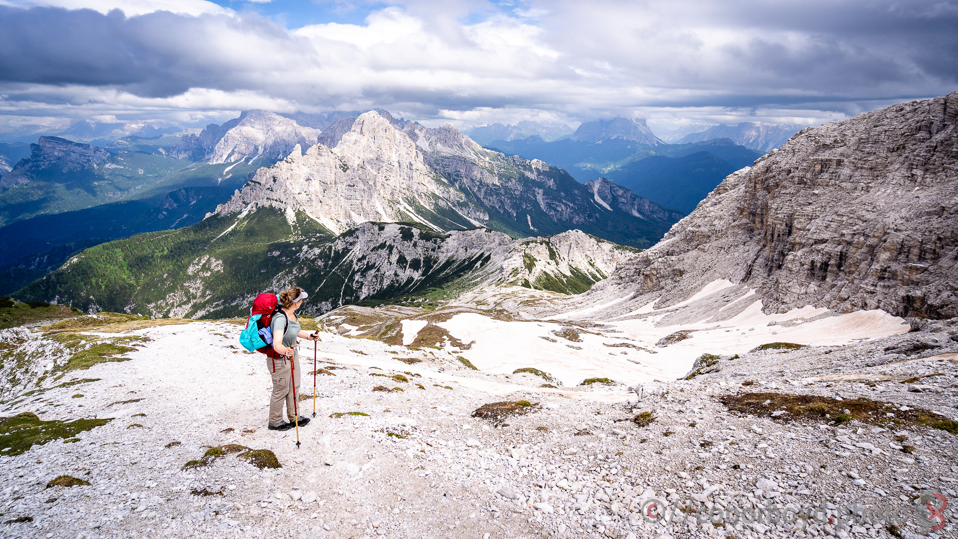
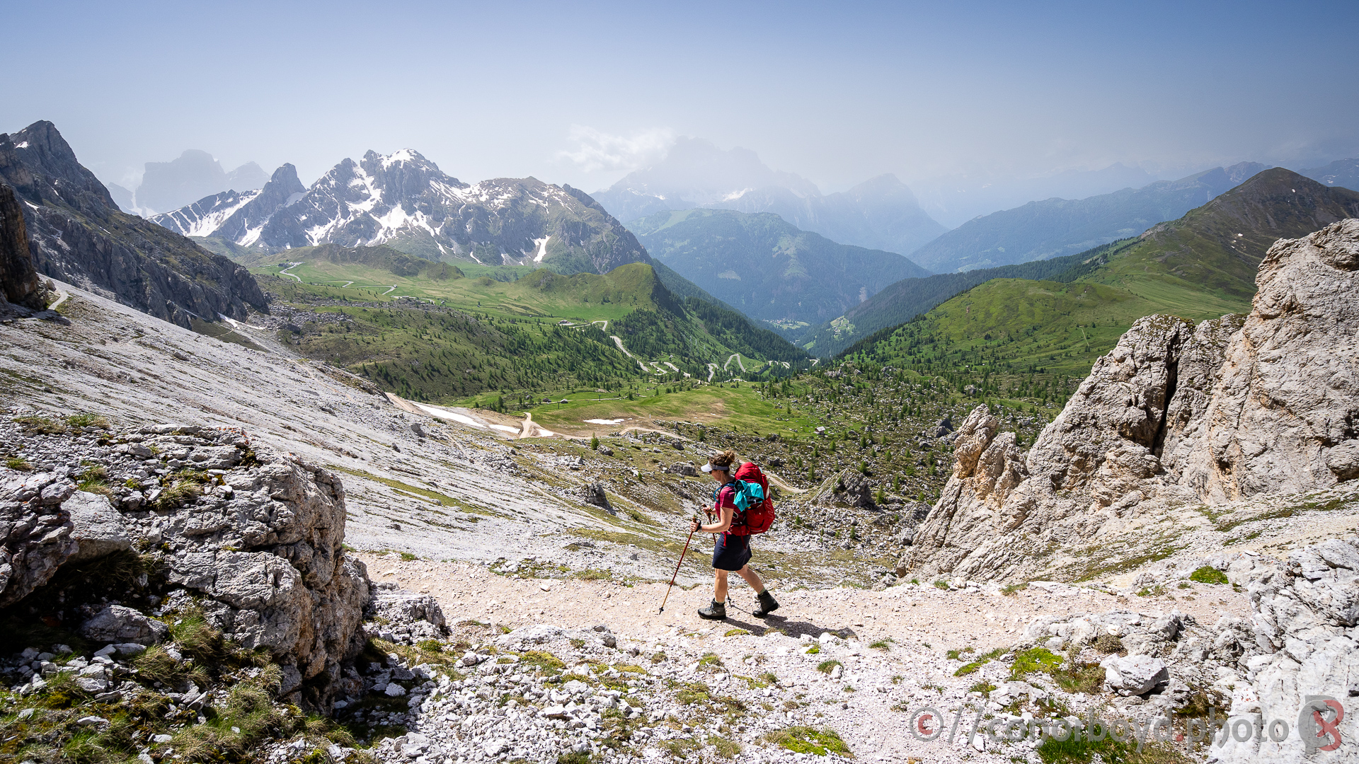
Day 9 | Malga Pramper > Pont de la Costa Granda | 15km ↑930m ↓1780m
Having dropped quite a long way down the previous day to Malga Pramper, our final day of the Alta Via #1 was one of the longest with the largest altitude difference, but we were feeling fit by this stage. Not all hikers on the Alta Via #1 choose to continue this far south, so it definitely felt more remote with more solitude. Final small snowfield to ascend and then over the Forcella de Zita sud (2400m) before dropping VERY steeply down for final lunch at Rif. Pian de Fontana (1632m) and then onwards down through beech forest to the finish line at Pont de la Costa Granda and our transport back to the comforts of a hotel in Belluno.